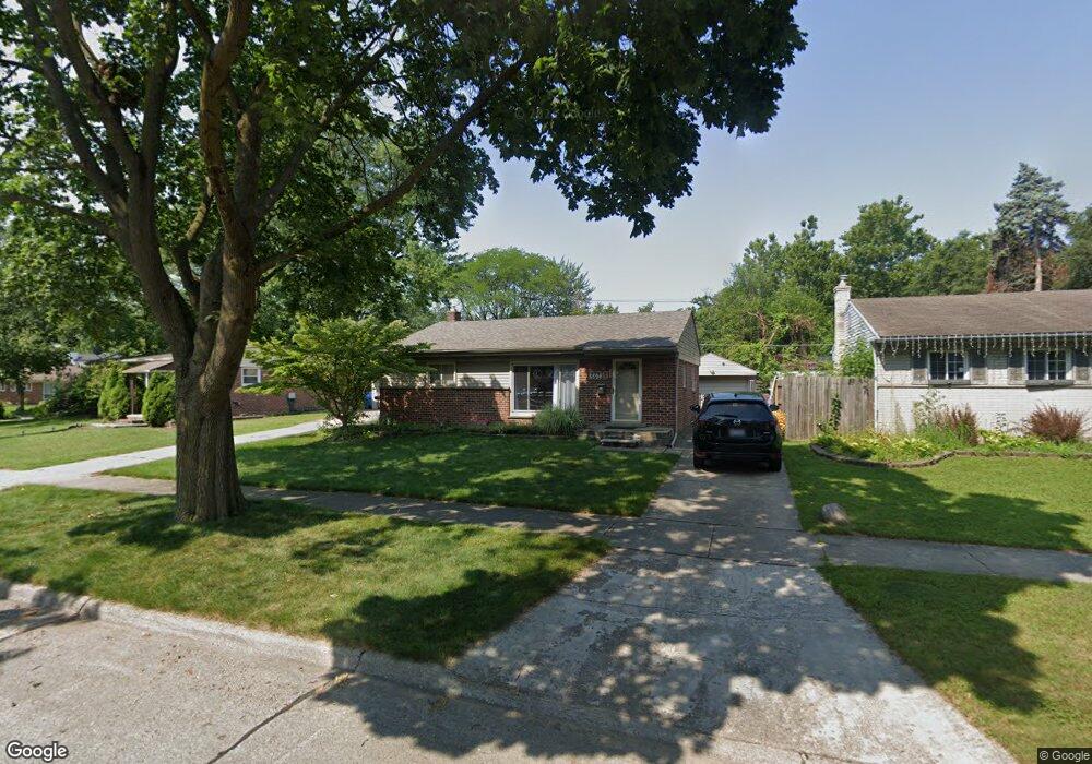
5526 Michael St Dearborn Heights, MI 48125
Estimated Value: $163,604 - $184,000
3
Beds
2
Baths
1,015
Sq Ft
$171/Sq Ft
Est. Value
About This Home
This home is located at 5526 Michael St, Dearborn Heights, MI 48125 and is currently estimated at $173,901, approximately $171 per square foot. 5526 Michael St is a home located in Wayne County with nearby schools including Quest Charter Academy, West Village Academy, and Peterson-Warren Academy.
Ownership History
Date
Name
Owned For
Owner Type
Purchase Details
Closed on
Feb 18, 2005
Sold by
Nielson Jason D and Nielson Kimberly K
Bought by
Grna Jennifer L
Current Estimated Value
Create a Home Valuation Report for This Property
The Home Valuation Report is an in-depth analysis detailing your home's value as well as a comparison with similar homes in the area
Home Values in the Area
Average Home Value in this Area
Purchase History
| Date | Buyer | Sale Price | Title Company |
|---|---|---|---|
| Grna Jennifer L | $137,700 | Multiple |
Source: Public Records
Tax History
| Year | Tax Paid | Tax Assessment Tax Assessment Total Assessment is a certain percentage of the fair market value that is determined by local assessors to be the total taxable value of land and additions on the property. | Land | Improvement |
|---|---|---|---|---|
| 2025 | $1,577 | $80,200 | $0 | $0 |
| 2024 | $1,513 | $73,400 | $0 | $0 |
| 2023 | $1,358 | $63,800 | $0 | $0 |
| 2021 | $1,813 | $47,000 | $0 | $0 |
| 2019 | $1,681 | $37,600 | $0 | $0 |
| 2018 | $1,176 | $34,800 | $0 | $0 |
| 2017 | $922 | $34,700 | $0 | $0 |
| 2016 | $1,598 | $35,300 | $0 | $0 |
| 2015 | $3,300 | $33,000 | $0 | $0 |
| 2013 | $3,470 | $35,400 | $0 | $0 |
| 2010 | -- | $43,500 | $0 | $0 |
Source: Public Records
Map
Nearby Homes
- 5367 Vivian St
- 5904 Janet St
- 000 Currier St
- 4856 Carolee Ln
- 25474 McDonald St
- 25651 McDonald St
- 5852 Beech Daly Rd
- 25513 Annapolis St
- 25965 Currier St
- 25926 Powers Ave
- 25038 Annapolis St
- 5961 Marvin St
- 0 Hopkins St
- 5969 Fellrath St
- 24337 Pennie St
- 25521 Stanford St
- 25529 Stanford St
- 6041 Fellrath St
- 24339 Eton Ave
- 25046 Stanford St
- 5516 Michael St
- 5542 Michael St
- 5443 S Gulley Rd
- 5506 Michael St
- 5435 S Gulley Rd
- 25336 Hanover St
- 5431 S Gulley Rd
- 5427 S Gulley Rd
- 5442 Michael St
- 5519 Michael St
- 5529 Michael St
- 5509 Michael St
- 5541 Michael St
- 5415 S Gulley Rd
- 25258 Hanover St
- 5445 Michael St
- 5432 Michael St
- 25317 Hanover St
- 25335 Hanover St
- 5367 S Gulley Rd
Your Personal Tour Guide
Ask me questions while you tour the home.