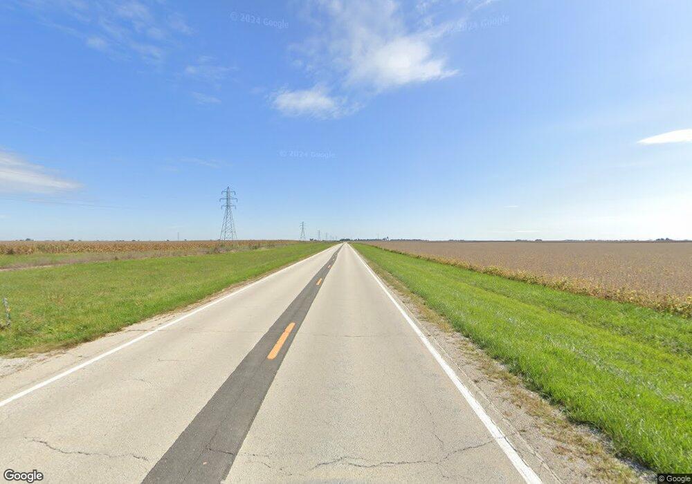
5527 N Route 48 Decatur, IL 62526
Estimated Value: $41,000 - $102,000
--
Bed
--
Bath
1,217
Sq Ft
$67/Sq Ft
Est. Value
About This Home
This home is located at 5527 N Route 48, Decatur, IL 62526 and is currently estimated at $81,714, approximately $67 per square foot. 5527 N Route 48 is a home located in Macon County with nearby schools including Argenta-Oreana Elementary School, Argenta Oreana High School, and Argenta-Oreana Middle School.
Ownership History
Date
Name
Owned For
Owner Type
Purchase Details
Closed on
Nov 21, 2023
Sold by
Comp Kenneth R & Dolores Y and Comp Delores Y
Bought by
Comp Donovan
Current Estimated Value
Home Financials for this Owner
Home Financials are based on the most recent Mortgage that was taken out on this home.
Original Mortgage
$45,453
Interest Rate
7.63%
Mortgage Type
New Conventional
Create a Home Valuation Report for This Property
The Home Valuation Report is an in-depth analysis detailing your home's value as well as a comparison with similar homes in the area
Home Values in the Area
Average Home Value in this Area
Purchase History
| Date | Buyer | Sale Price | Title Company |
|---|---|---|---|
| Comp Donovan | $40,000 | None Listed On Document |
Source: Public Records
Mortgage History
| Date | Status | Borrower | Loan Amount |
|---|---|---|---|
| Previous Owner | Comp Donovan | $45,453 |
Source: Public Records
Tax History Compared to Growth
Tax History
| Year | Tax Paid | Tax Assessment Tax Assessment Total Assessment is a certain percentage of the fair market value that is determined by local assessors to be the total taxable value of land and additions on the property. | Land | Improvement |
|---|---|---|---|---|
| 2024 | $1,802 | $26,160 | $5,685 | $20,475 |
| 2023 | $1,696 | $23,720 | $5,155 | $18,565 |
| 2022 | $1,656 | $22,123 | $4,808 | $17,315 |
| 2021 | $1,593 | $20,581 | $4,473 | $16,108 |
| 2020 | $1,548 | $19,756 | $4,294 | $15,462 |
| 2019 | $1,548 | $19,756 | $4,294 | $15,462 |
| 2018 | $1,570 | $20,052 | $4,337 | $15,715 |
| 2017 | $1,551 | $19,727 | $4,267 | $15,460 |
| 2016 | $1,583 | $19,769 | $4,276 | $15,493 |
| 2015 | $1,542 | $19,612 | $4,242 | $15,370 |
| 2014 | $1,491 | $19,612 | $4,242 | $15,370 |
| 2013 | $1,044 | $19,612 | $4,242 | $15,370 |
Source: Public Records
Map
Nearby Homes
- 5656 N Route 48
- 5694 N Route 48
- 5830 N Route 48
- 250 Troy Ln
- 118 E Bower St
- 3540 Forest Pkwy
- 20 Whippoorwill Dr
- 5353 E Reas Bridge Rd
- 2221 E Mound Rd
- 6002 N Coulters Mill Rd
- 4315 Neeley Ave
- 1585 E North Port Rd
- 675 S Elwood St
- 2918 N 22nd St
- 8349 Sawyer Rd
- 3443 N Charles St
- 0 Route 51 Unit 6241333
- 45 Larry Dr
- 278 W Brown Ave
- 4454 N Prairie View Rd
- 5523 N Route 48
- 5530 N Route 48
- 5510 N Route 48
- 5538 N Route 48
- 5502 E Route 48
- 5502 N Route 48
- 5550 N Route 48
- 5490 N Route 48
- 5574 N Route 48
- 5476 N Route 48
- 5578 E Route 48
- 5578 N Route 48
- 5462 N Route 48
- 5602 E Route 48
- 5602 N Route 48
- 5440 N Route 48
- 5614 E Route 48
- 5614 N Route 48
- 5428 N Route 48
- 4240 Cundiff Rd
