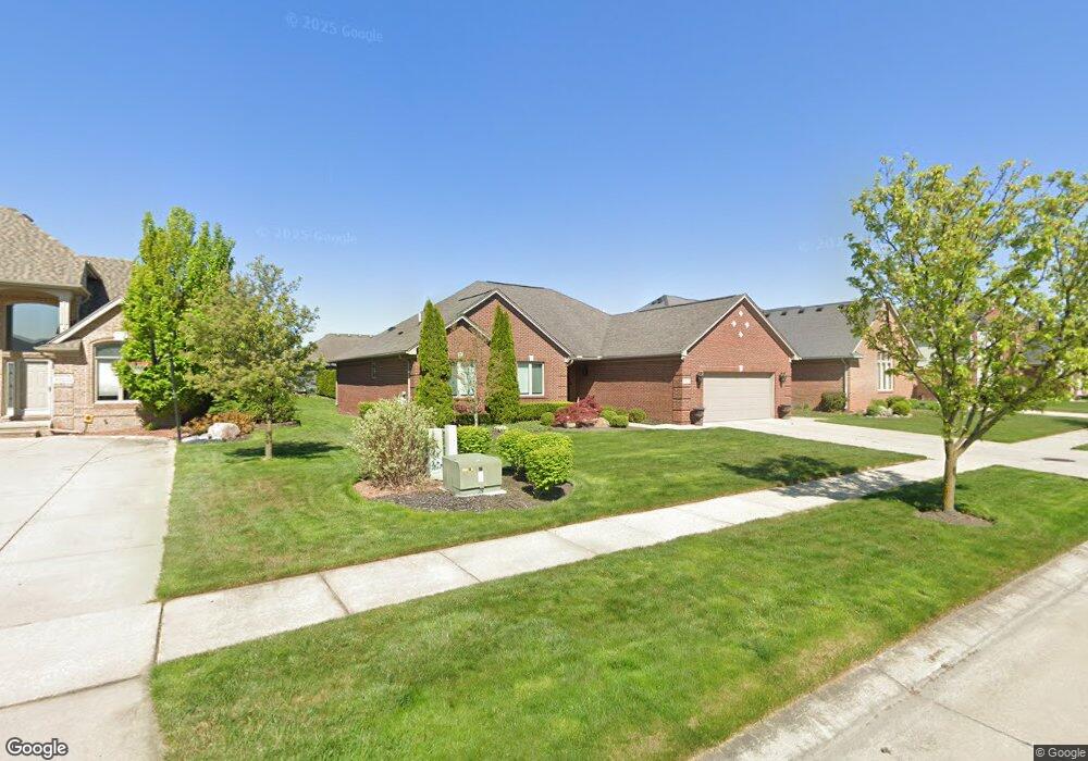
55273 Rifle Ct Macomb, MI 48042
Estimated Value: $478,339 - $532,000
3
Beds
4
Baths
2,400
Sq Ft
$214/Sq Ft
Est. Value
About This Home
This home is located at 55273 Rifle Ct, Macomb, MI 48042 and is currently estimated at $514,335, approximately $214 per square foot. 55273 Rifle Ct is a home located in Macomb County with nearby schools including Richard J. Duncan Elementary, Shelby Junior High School, and Eisenhower High School.
Ownership History
Date
Name
Owned For
Owner Type
Purchase Details
Closed on
Dec 1, 2009
Sold by
Hunt Brian
Bought by
Hunt Family Revocable Living Trust
Current Estimated Value
Purchase Details
Closed on
Nov 20, 2009
Sold by
Hunt Brian D
Bought by
Chase Home Finance Llc
Purchase Details
Closed on
Aug 30, 2000
Sold by
Middle Branch Properties
Bought by
Hunt Brian D
Home Financials for this Owner
Home Financials are based on the most recent Mortgage that was taken out on this home.
Original Mortgage
$125,000
Interest Rate
8.15%
Mortgage Type
Purchase Money Mortgage
Create a Home Valuation Report for This Property
The Home Valuation Report is an in-depth analysis detailing your home's value as well as a comparison with similar homes in the area
Home Values in the Area
Average Home Value in this Area
Purchase History
| Date | Buyer | Sale Price | Title Company |
|---|---|---|---|
| Hunt Family Revocable Living Trust | -- | None Available | |
| Chase Home Finance Llc | $111,135 | None Available | |
| Hunt Brian D | $61,000 | -- |
Source: Public Records
Mortgage History
| Date | Status | Borrower | Loan Amount |
|---|---|---|---|
| Previous Owner | Hunt Brian D | $125,000 |
Source: Public Records
Tax History Compared to Growth
Tax History
| Year | Tax Paid | Tax Assessment Tax Assessment Total Assessment is a certain percentage of the fair market value that is determined by local assessors to be the total taxable value of land and additions on the property. | Land | Improvement |
|---|---|---|---|---|
| 2025 | $4,107 | $234,400 | $0 | $0 |
| 2024 | $2,621 | $217,600 | $0 | $0 |
| 2023 | $2,482 | $198,600 | $0 | $0 |
| 2022 | $3,673 | $181,900 | $0 | $0 |
| 2021 | $3,575 | $173,500 | $0 | $0 |
| 2020 | $2,285 | $171,200 | $0 | $0 |
| 2019 | $3,285 | $154,400 | $0 | $0 |
| 2018 | $3,250 | $147,500 | $0 | $0 |
| 2017 | $3,196 | $142,080 | $32,500 | $109,580 |
| 2016 | $3,012 | $142,080 | $0 | $0 |
| 2015 | $2,976 | $133,470 | $0 | $0 |
| 2014 | $2,976 | $116,160 | $21,500 | $94,660 |
| 2013 | $1,900 | $116,160 | $0 | $0 |
Source: Public Records
Map
Nearby Homes
- 15892 Hyacinth Dr
- 54676 Carnation Dr
- 54643 Berryfield
- 54353 Lily Dr
- 16701 25 Mile Rd
- 54340 Nicholas
- 56096 Lario Ct
- 54448 Verona Park Dr
- 56343 Via Serbelloni
- 16199 Via Colico
- The Berkeley Plan at Wolverine Country Club Estates
- The Austin Plan at Wolverine Country Club Estates
- The Oxford Plan at Wolverine Country Club Estates
- The Columbia Plan at Wolverine Country Club Estates
- The Hampton Plan at Wolverine Country Club Estates
- The Princeton Plan at Wolverine Country Club Estates
- Village Manor II Plan at Wolverine Country Club Estates - II
- Marisa II Plan at Wolverine Country Club Estates - II
- Laura Plan at Wolverine Country Club Estates - II
- Kirkwood Plan at Wolverine Country Club Estates - II
- 55235 Rifle Ct
- 55311 Rifle Ct
- 55264 Nile Way
- 55226 Nile Way
- 55349 Rifle Ct
- 55197 Rifle Ct
- 55302 Nile Way
- 16065 Forest Way
- 55340 Nile Way
- 16072 Forest Way
- 55387 Rifle Ct
- 55159 Rifle Ct
- 55150 Nile Way
- 55378 Nile Way
- 16079 Forest Way
- 55360 Rifle Ct
- 16086 Forest Way
- 16081 Thames Ln
- 55425 Rifle Ct
- 55235 Nile Way