Estimated Value: $273,000 - $309,000
3
Beds
2
Baths
1,289
Sq Ft
$222/Sq Ft
Est. Value
About This Home
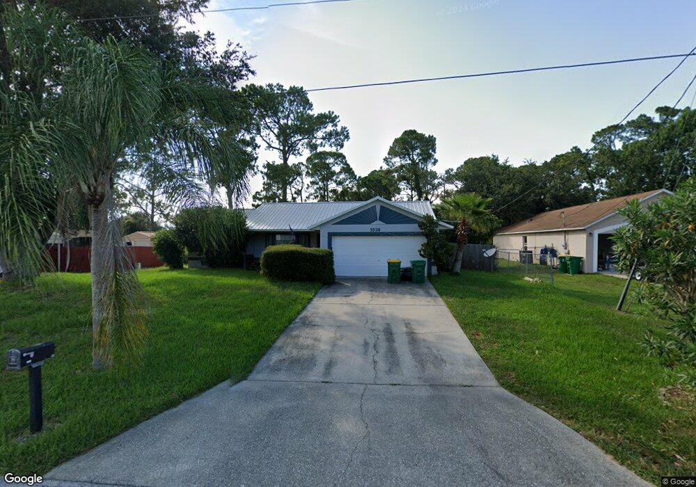
This home is located at 5528 Flint Rd, Cocoa, FL 32927 and is currently estimated at $286,610, approximately $222 per square foot. 5528 Flint Rd is a home located in Brevard County with nearby schools including Enterprise Elementary School, Space Coast Junior/Senior High School, and East Atlantic Prep of Brevard County.
Create a Home Valuation Report for This Property
The Home Valuation Report is an in-depth analysis detailing your home's value as well as a comparison with similar homes in the area
Home Values in the Area
Average Home Value in this Area
Tax History Compared to Growth
Tax History
| Year | Tax Paid | Tax Assessment Tax Assessment Total Assessment is a certain percentage of the fair market value that is determined by local assessors to be the total taxable value of land and additions on the property. | Land | Improvement |
|---|---|---|---|---|
| 2025 | $1,066 | $79,320 | -- | -- |
| 2024 | $1,032 | $77,090 | -- | -- |
| 2023 | $1,032 | $74,850 | $0 | $0 |
| 2022 | $972 | $72,670 | $0 | $0 |
| 2021 | $975 | $70,560 | $0 | $0 |
| 2020 | $929 | $69,590 | $0 | $0 |
| 2019 | $877 | $68,030 | $0 | $0 |
| 2018 | $878 | $66,770 | $0 | $0 |
| 2017 | $879 | $65,400 | $0 | $0 |
| 2016 | $887 | $64,060 | $18,000 | $46,060 |
| 2015 | $895 | $63,620 | $15,000 | $48,620 |
| 2014 | $899 | $63,120 | $11,000 | $52,120 |
Source: Public Records
Map
Nearby Homes
- 5460 Holden Rd
- 5446 Jamaica Rd
- 5275 Holden Rd
- 4650 N Highway 1 Hwy
- 5220 Holden Rd
- 5575 Curtis Blvd
- 5715 Fairbridge St
- 5997 Jenkins Ave
- 6581 Bancroft Ave
- 6017 Flamingo Ave
- 5940 Flamingo Ave
- 6615 Dock Ave
- 6309 Alleghany Ave
- 5145 Fay Blvd
- 00 Unknown
- 5946 Deer Ln
- 6003 Gilson
- 5149 Arlington Rd Unit 104
- 6643 Emil Ave
- 6061 Banbury Ave