5528 Saint Andrew Dr Unit Bldg-Unit Clarkston, MI 48348
Estimated Value: $709,000 - $898,141
--
Bed
5
Baths
5,046
Sq Ft
$162/Sq Ft
Est. Value
About This Home
This home is located at 5528 Saint Andrew Dr Unit Bldg-Unit, Clarkston, MI 48348 and is currently estimated at $815,285, approximately $161 per square foot. 5528 Saint Andrew Dr Unit Bldg-Unit is a home located in Oakland County with nearby schools including Everest Academy.
Ownership History
Date
Name
Owned For
Owner Type
Purchase Details
Closed on
Apr 4, 2019
Sold by
Reizen Galy R and Reizen Sara E
Bought by
Gjonaj Nikola and Gjonaj Lidijia
Current Estimated Value
Purchase Details
Closed on
Jun 18, 2007
Sold by
Reizen Gary B and Reizen Sara E
Bought by
Reizen Gary B and Reizen Sara E
Purchase Details
Closed on
May 4, 2000
Sold by
Genord Donald R
Bought by
Reizen Gary
Home Financials for this Owner
Home Financials are based on the most recent Mortgage that was taken out on this home.
Original Mortgage
$395,000
Interest Rate
8.21%
Mortgage Type
Purchase Money Mortgage
Purchase Details
Closed on
Aug 26, 1998
Sold by
Genord Dawn M
Bought by
Genord Donald R
Home Financials for this Owner
Home Financials are based on the most recent Mortgage that was taken out on this home.
Original Mortgage
$586,500
Interest Rate
7.02%
Mortgage Type
Purchase Money Mortgage
Create a Home Valuation Report for This Property
The Home Valuation Report is an in-depth analysis detailing your home's value as well as a comparison with similar homes in the area
Home Values in the Area
Average Home Value in this Area
Purchase History
| Date | Buyer | Sale Price | Title Company |
|---|---|---|---|
| Gjonaj Nikola | $533,500 | None Available | |
| Reizen Gary B | -- | Abstract Title Agency | |
| Reizen Gary B | -- | None Available | |
| Reizen Gary | $725,000 | -- | |
| Genord Donald R | -- | -- |
Source: Public Records
Mortgage History
| Date | Status | Borrower | Loan Amount |
|---|---|---|---|
| Previous Owner | Reizen Gary | $395,000 | |
| Previous Owner | Genord Donald R | $586,500 |
Source: Public Records
Tax History Compared to Growth
Tax History
| Year | Tax Paid | Tax Assessment Tax Assessment Total Assessment is a certain percentage of the fair market value that is determined by local assessors to be the total taxable value of land and additions on the property. | Land | Improvement |
|---|---|---|---|---|
| 2024 | $6,489 | $314,700 | $55,800 | $258,900 |
| 2023 | $8,749 | $288,700 | $53,400 | $235,300 |
| 2022 | $8,749 | $272,600 | $53,400 | $219,200 |
| 2021 | $8,778 | $264,700 | $53,900 | $210,800 |
| 2020 | $6,045 | $277,700 | $56,400 | $221,300 |
| 2018 | $8,037 | $313,700 | $60,300 | $253,400 |
| 2015 | -- | $308,200 | $0 | $0 |
| 2014 | -- | $259,000 | $0 | $0 |
| 2011 | -- | $214,000 | $0 | $0 |
Source: Public Records
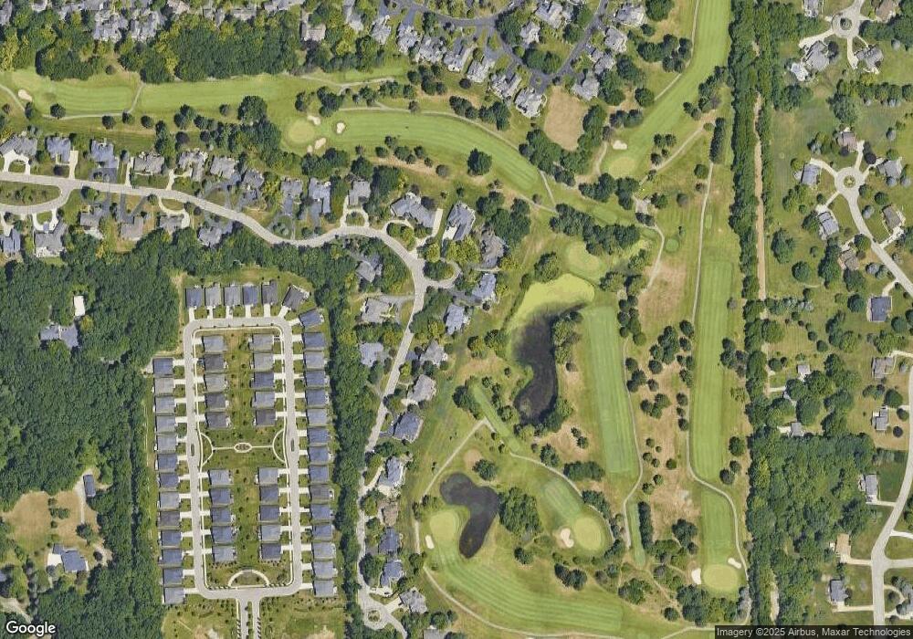
Map
Nearby Homes
- 5484 Waldon Rd
- 00 Waldon Rd
- 5459 Bristol Parke Dr Unit 6
- 5479 Woodcreek Ct Unit 13
- 5624 Knob Hill Cir
- 5008 Oakdale Dr
- 4000 Ashdale Way
- 6847 Oakhurst Ridge Rd
- 4687 Oakhurst Ridge Rd Unit 232
- 3050 Sheffield Cir
- 7428 Foxburg Ct
- 5698 Everest Dr
- Bedrock Plan at Waldon Village - The Villas
- Abbeyville Plan at Waldon Village - The Villas
- Bayport Plan at Waldon Village - The Villas
- 3010 Sheffield Cir
- 3006 Sheffield Cir
- 3011 Sheffield Cir
- 7811 Caberfae Trail
- 3019 Sheffield Cir
- 5528 Saint Andrew Dr
- 5528 Saint Andrew Dr Unit 17
- 5524 Saint Andrew Dr
- 5532 Saint Elizabeth Ct
- 5520 Saint Andrew Dr
- 5527 Saint Andrew Dr
- 5536 Saint Elizabeth Ct
- 5523 Saint Andrew Dr
- 5531 Saint Andrew Dr
- 5540 Saint Elizabeth Ct
- 5516 Saint Andrew Dr
- 5544 Saint Elizabeth Ct Unit 13
- 5498 Woodfall Rd Unit Bldg-Unit
- 5498 Woodfall Rd
- 5494 Woodfall Rd Unit Bldg-Unit
- 5494 Woodfall Rd
- 5496 Woodfall Rd
- 5512 St Andrew Dr
- 5512 Saint Andrew Dr Unit Bldg-Unit
- 5512 Saint Andrew Dr