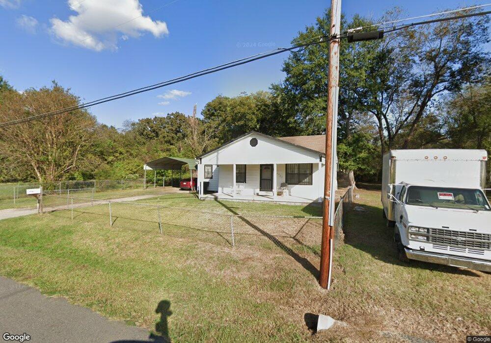
5529 Roberts St Shreveport, LA 71109
Mooretown and Hollywood Heights NeighborhoodEstimated Value: $41,025 - $54,000
2
Beds
1
Bath
976
Sq Ft
$47/Sq Ft
Est. Value
About This Home
This home is located at 5529 Roberts St, Shreveport, LA 71109 and is currently estimated at $46,006, approximately $47 per square foot. 5529 Roberts St is a home located in Caddo Parish with nearby schools including Oak Park Elementary School, Judson Fundamental Elementary School, and Fairfield Magnet School.
Ownership History
Date
Name
Owned For
Owner Type
Purchase Details
Closed on
Nov 5, 2021
Sold by
Glenn Hollins Brian
Bought by
Smalls Reginald Anthony
Current Estimated Value
Purchase Details
Closed on
Jul 30, 2021
Sold by
Oracle Purchasing & Leasing Llc
Bought by
Hollins Brian Glenn and Hollins Henrietta Tucker
Purchase Details
Closed on
Feb 21, 2018
Sold by
Smalls & Hollins Properties Llc
Bought by
Opacle Purchasing & Leasing Llc
Create a Home Valuation Report for This Property
The Home Valuation Report is an in-depth analysis detailing your home's value as well as a comparison with similar homes in the area
Home Values in the Area
Average Home Value in this Area
Purchase History
| Date | Buyer | Sale Price | Title Company |
|---|---|---|---|
| Smalls Reginald Anthony | -- | None Listed On Document | |
| Hollins Brian Glenn | $37,010 | None Available | |
| Opacle Purchasing & Leasing Llc | $37,010 | -- |
Source: Public Records
Tax History Compared to Growth
Tax History
| Year | Tax Paid | Tax Assessment Tax Assessment Total Assessment is a certain percentage of the fair market value that is determined by local assessors to be the total taxable value of land and additions on the property. | Land | Improvement |
|---|---|---|---|---|
| 2024 | $297 | $1,904 | $829 | $1,075 |
| 2023 | $297 | $1,865 | $790 | $1,075 |
| 2022 | $297 | $1,865 | $790 | $1,075 |
| 2021 | $293 | $1,865 | $790 | $1,075 |
| 2020 | $293 | $1,865 | $790 | $1,075 |
| 2019 | $302 | $1,865 | $790 | $1,075 |
| 2018 | $240 | $1,865 | $790 | $1,075 |
| 2017 | $608 | $3,701 | $790 | $2,911 |
| 2015 | $507 | $3,910 | $790 | $3,120 |
| 2014 | -- | $3,910 | $790 | $3,120 |
| 2013 | -- | $3,910 | $790 | $3,120 |
Source: Public Records
Map
Nearby Homes
- 5415 Norton St
- 4302 Illinois Ave
- 5600 Norton St
- 4310 Saint Louis Ave
- 0 Miles St
- 5222 Broadway Ave
- 3924 Miles St
- 3922 Miles St
- 3735 Tate St
- 4056 Powell St
- 4130 Mayfield St
- 4136 Mayfield St
- 4536 Curtis Ln
- 3812 Mayfield St
- 3841 Flora Ave
- 6208 Jewella Ave
- 3918 Adrian St
- 4122 Carver St
- 4718 Gloria Cir
- 4814 Mcdaniel Dr
- 5609 Roberts St
- 5522 Norton St
- 5518 Norton St
- 5613 Roberts St
- 5613 Roberts St
- 5508 Norton St
- 5504 Norton St
- 5504 Norton St
- 5610 Norton St
- 5500 Norton St
- 5618 Norton St
- 5441 Roberts St
- 5438 Norton St
- 5630 Norton St
- 5601 Norton St
- 5434 Norton St
- 5702 Norton St
- 5434 Roberts St
- 5434 Roberts St
- 5509 Norton St