Estimated Value: $456,196 - $563,000
4
Beds
3
Baths
2,632
Sq Ft
$191/Sq Ft
Est. Value
About This Home
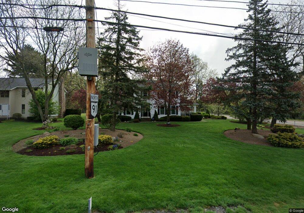
This home is located at 5529 Som Center Rd, Solon, OH 44139 and is currently estimated at $502,299, approximately $190 per square foot. 5529 Som Center Rd is a home located in Cuyahoga County with nearby schools including Dorothy E Lewis Elementary School, Orchard Middle School, and Solon Middle School.
Ownership History
Date
Name
Owned For
Owner Type
Purchase Details
Closed on
May 26, 2001
Sold by
Remley William M and Remley Sue M
Bought by
Hawk Clark E and Hawk Shellie O
Current Estimated Value
Home Financials for this Owner
Home Financials are based on the most recent Mortgage that was taken out on this home.
Original Mortgage
$214,625
Interest Rate
7.27%
Purchase Details
Closed on
Dec 3, 1996
Sold by
Mayer Robert E
Bought by
Brooks Danette M
Home Financials for this Owner
Home Financials are based on the most recent Mortgage that was taken out on this home.
Original Mortgage
$167,200
Interest Rate
7.94%
Mortgage Type
Balloon
Purchase Details
Closed on
Oct 20, 1989
Bought by
Mayer Robert E
Purchase Details
Closed on
Jan 1, 1989
Bought by
Atlantis Dev Corp
Create a Home Valuation Report for This Property
The Home Valuation Report is an in-depth analysis detailing your home's value as well as a comparison with similar homes in the area
Home Values in the Area
Average Home Value in this Area
Purchase History
| Date | Buyer | Sale Price | Title Company |
|---|---|---|---|
| Hawk Clark E | $252,500 | Real Estate Title | |
| Brooks Danette M | $209,000 | -- | |
| Mayer Robert E | $175,500 | -- | |
| Atlantis Dev Corp | -- | -- |
Source: Public Records
Mortgage History
| Date | Status | Borrower | Loan Amount |
|---|---|---|---|
| Previous Owner | Hawk Clark E | $214,625 | |
| Previous Owner | Brooks Danette M | $167,200 | |
| Closed | Hawk Clark E | $37,875 |
Source: Public Records
Tax History
| Year | Tax Paid | Tax Assessment Tax Assessment Total Assessment is a certain percentage of the fair market value that is determined by local assessors to be the total taxable value of land and additions on the property. | Land | Improvement |
|---|---|---|---|---|
| 2025 | $8,016 | $146,475 | $10,150 | $136,325 |
| 2024 | $8,016 | $146,475 | $10,150 | $136,325 |
| 2023 | $7,393 | $108,230 | $17,820 | $90,410 |
| 2022 | $7,030 | $105,280 | $17,820 | $87,470 |
| 2021 | $6,950 | $105,280 | $17,820 | $87,470 |
| 2020 | $7,169 | $99,330 | $16,800 | $82,530 |
| 2019 | $6,943 | $283,800 | $48,000 | $235,800 |
| 2018 | $6,170 | $99,330 | $16,800 | $82,530 |
| 2017 | $6,184 | $93,420 | $23,170 | $70,250 |
| 2016 | $6,125 | $93,420 | $23,170 | $70,250 |
| 2015 | $5,880 | $93,420 | $23,170 | $70,250 |
| 2014 | $5,880 | $86,490 | $21,460 | $65,030 |
Source: Public Records
Map
Nearby Homes
- 32957 Springside Ln
- 5721 Som Center Rd Unit 25
- 5721 Som Center Rd Unit 18
- 34040 Sherbrook Park Dr
- 5560 Elm Hill Dr
- 30875 Cannon Rd
- 35180 Solon Rd
- 30705 Cannon Rd
- 5009 Lansdowne Dr
- 5496 Stone Creek
- 4775 Som Center Rd
- 36470 Timberlane Dr
- 37192 O'Neill Dr
- 5034 Medhurst Ave
- 5880 Deepwood Trail
- 32801 Baldwin Rd
- V/L (1.32 Acres) Aurora Rd
- 6331 Chagrin River Rd
- 36845 Aberdeen Ln
- 38280 Fox Run Dr
- 5519 Som Center Rd
- 5513 Som Center Rd
- 33615 Wellingford Ct
- 33645 Cannon Rd
- 5530 Som Center Rd
- 33595 Wellingford Ct
- 33625 Wellingford Ct
- 5509 Som Center Rd
- 33635 Wellingford Ct
- 33610 Wellingford Ct
- 33755 Cannon Rd
- 33645 Wellingford Ct
- 33620 Wellingford Ct
- 33285 Cannon Rd
- 5500 Som Center Rd
- 33630 Wellingford Ct
- 33705 Redbridge Ln
- 5485 Som Center Rd
- 33640 Wellingford Ct
- 33665 Wellingford Ct
Your Personal Tour Guide
Ask me questions while you tour the home.