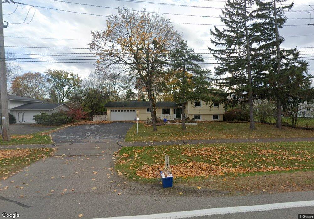
5529 W Maple Rd West Bloomfield, MI 48322
Estimated Value: $380,000 - $452,000
3
Beds
3
Baths
2,325
Sq Ft
$175/Sq Ft
Est. Value
About This Home
This home is located at 5529 W Maple Rd, West Bloomfield, MI 48322 and is currently estimated at $407,793, approximately $175 per square foot. 5529 W Maple Rd is a home located in Oakland County with nearby schools including Sheiko Elementary School, West Bloomfield Middle School, and Bloomfield Maples Montessori.
Ownership History
Date
Name
Owned For
Owner Type
Purchase Details
Closed on
Sep 12, 1996
Sold by
Charlick Peter C
Bought by
Karur R Padmanabhan
Current Estimated Value
Home Financials for this Owner
Home Financials are based on the most recent Mortgage that was taken out on this home.
Original Mortgage
$140,650
Outstanding Balance
$12,013
Interest Rate
8.14%
Estimated Equity
$395,780
Create a Home Valuation Report for This Property
The Home Valuation Report is an in-depth analysis detailing your home's value as well as a comparison with similar homes in the area
Home Values in the Area
Average Home Value in this Area
Purchase History
| Date | Buyer | Sale Price | Title Company |
|---|---|---|---|
| Karur R Padmanabhan | $165,500 | -- |
Source: Public Records
Mortgage History
| Date | Status | Borrower | Loan Amount |
|---|---|---|---|
| Open | Karur R Padmanabhan | $140,650 |
Source: Public Records
Tax History Compared to Growth
Tax History
| Year | Tax Paid | Tax Assessment Tax Assessment Total Assessment is a certain percentage of the fair market value that is determined by local assessors to be the total taxable value of land and additions on the property. | Land | Improvement |
|---|---|---|---|---|
| 2024 | $2,533 | $171,310 | $0 | $0 |
| 2022 | $2,425 | $146,510 | $45,120 | $101,390 |
| 2021 | $3,685 | $139,700 | $0 | $0 |
| 2020 | $2,376 | $135,430 | $45,120 | $90,310 |
| 2018 | $3,553 | $131,420 | $45,120 | $86,300 |
| 2015 | -- | $98,370 | $0 | $0 |
| 2014 | -- | $90,550 | $0 | $0 |
| 2011 | -- | $83,690 | $0 | $0 |
Source: Public Records
Map
Nearby Homes
- 6624 Mellow Wood Ln
- 6769 Heather Heath
- 6843 Leslee Crest Dr
- 7023 Wild Ridge Ln
- 6564 Alderley Way
- 7027 Beverly Crest Dr
- 6151 Orchard Lake Rd Unit 103
- 6145 Orchard Lake Rd Unit 204
- 6109 Orchard Lake Rd Unit 101
- 6545 Post Oak Dr
- 6322 Pepper Hill St Unit 62
- 6222 Pepper Hill St
- 4161 Breckenridge Dr
- 4185 Pinehurst Ct
- 6651 Hearthside Ct Unit 1
- 6614 Embers Ct
- 6621 Bellows Ct Unit 62
- 3865 Stonecrest Rd
- 3035 Parkland Dr
- 7251 N Briarcliff Knoll Dr
- 5521 W Maple Rd
- 6515 Tamerlane Dr
- 6582 Mellow Wood Ln
- 6529 Tamerlane Dr
- 6568 Mellow Wood Ln
- 6514 Heather Heath
- 6530 Heather Heath
- 6596 Mellow Wood Ln
- 6543 Tamerlane Dr
- 6489 Tamerlane Dr
- 6565 Mellow Wood Ln
- 6516 Tamberlane
- 6610 Mellow Wood Ln
- 6516 Tamerlane Dr
- 6488 Tamerlane Dr
- 6551 Mellow Wood Ln
- 6540 Tamerlane Dr
- 6540 Tamberlane Dr
- 6561 Tamerlane Dr
- 6465 Tamerlane Dr