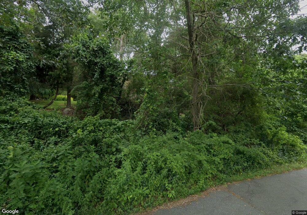
553 Chase Rd North Dartmouth, MA 02747
Estimated Value: $831,000 - $1,158,000
4
Beds
3
Baths
4,053
Sq Ft
$235/Sq Ft
Est. Value
About This Home
This home is located at 553 Chase Rd, North Dartmouth, MA 02747 and is currently estimated at $951,273, approximately $234 per square foot. 553 Chase Rd is a home located in Bristol County with nearby schools including Dartmouth High School.
Ownership History
Date
Name
Owned For
Owner Type
Purchase Details
Closed on
Oct 6, 2005
Sold by
Howard-Gitlin Nora J
Bought by
Amaral Ana P and Amaral Jose C
Current Estimated Value
Home Financials for this Owner
Home Financials are based on the most recent Mortgage that was taken out on this home.
Original Mortgage
$480,000
Outstanding Balance
$257,727
Interest Rate
5.81%
Mortgage Type
Purchase Money Mortgage
Estimated Equity
$693,546
Purchase Details
Closed on
Aug 25, 1993
Sold by
Gouveia Linda R
Bought by
Gitlin Louis D and Gitlin Nora J Howard
Home Financials for this Owner
Home Financials are based on the most recent Mortgage that was taken out on this home.
Original Mortgage
$100,000
Interest Rate
7.06%
Mortgage Type
Purchase Money Mortgage
Create a Home Valuation Report for This Property
The Home Valuation Report is an in-depth analysis detailing your home's value as well as a comparison with similar homes in the area
Home Values in the Area
Average Home Value in this Area
Purchase History
| Date | Buyer | Sale Price | Title Company |
|---|---|---|---|
| Amaral Ana P | $600,000 | -- | |
| Gitlin Louis D | $308,000 | -- |
Source: Public Records
Mortgage History
| Date | Status | Borrower | Loan Amount |
|---|---|---|---|
| Open | Gitlin Louis D | $480,000 | |
| Previous Owner | Gitlin Louis D | $100,000 | |
| Previous Owner | Gitlin Louis D | $150,000 |
Source: Public Records
Tax History Compared to Growth
Tax History
| Year | Tax Paid | Tax Assessment Tax Assessment Total Assessment is a certain percentage of the fair market value that is determined by local assessors to be the total taxable value of land and additions on the property. | Land | Improvement |
|---|---|---|---|---|
| 2025 | $8,251 | $894,900 | $259,500 | $635,400 |
| 2024 | $8,068 | $871,300 | $252,300 | $619,000 |
| 2023 | $7,799 | $787,800 | $209,900 | $577,900 |
| 2022 | $7,278 | $677,000 | $209,900 | $467,100 |
| 2021 | $6,990 | $628,600 | $204,300 | $424,300 |
| 2020 | $6,980 | $624,300 | $202,300 | $422,000 |
| 2019 | $6,711 | $601,900 | $194,500 | $407,400 |
| 2018 | $6,312 | $574,600 | $198,400 | $376,200 |
| 2017 | $6,010 | $552,400 | $183,900 | $368,500 |
| 2016 | $5,722 | $519,200 | $154,300 | $364,900 |
| 2015 | $5,655 | $514,100 | $144,800 | $369,300 |
| 2014 | $5,545 | $502,300 | $141,100 | $361,200 |
Source: Public Records
Map
Nearby Homes
- 14 Westview Dr
- 10 Westview Dr
- 34 Country Way
- 219 Chase Rd
- 360 Russells Mills Rd
- 1150 Russells Mills Rd
- 75 Country Way Unit 75
- 248 Bakerville Rd
- 3 Mishawum Dr
- 5 Samosett Dr
- 24 Wayne Memorial Dr
- Lot 6 Rafael Rd
- 6 Jacob Dr
- 6 Strathmore Rd
- 29 Elizabeth Ct
- 76 Shipyard Ln
- 73 White Oak Run
- 33 Rosewood Terrace
- 48 Wilson St
- 312 Old Westport Rd
