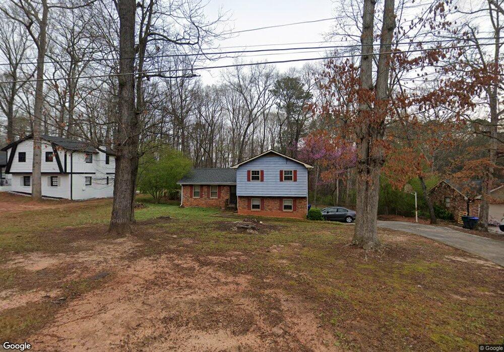
553 Desmond Dr Unit 2 Lawrenceville, GA 30044
Gwinnett Place NeighborhoodEstimated Value: $337,455 - $364,000
3
Beds
2
Baths
1,374
Sq Ft
$256/Sq Ft
Est. Value
About This Home
This home is located at 553 Desmond Dr Unit 2, Lawrenceville, GA 30044 and is currently estimated at $352,364, approximately $256 per square foot. 553 Desmond Dr Unit 2 is a home located in Gwinnett County with nearby schools including J.A. Alford Elementary School, Richards Middle School, and Discovery High School.
Ownership History
Date
Name
Owned For
Owner Type
Purchase Details
Closed on
Feb 26, 1999
Sold by
Herlugson Nancy Ann
Bought by
Waller Mary Beth
Current Estimated Value
Home Financials for this Owner
Home Financials are based on the most recent Mortgage that was taken out on this home.
Original Mortgage
$97,694
Outstanding Balance
$23,604
Interest Rate
6.73%
Mortgage Type
FHA
Estimated Equity
$328,760
Create a Home Valuation Report for This Property
The Home Valuation Report is an in-depth analysis detailing your home's value as well as a comparison with similar homes in the area
Home Values in the Area
Average Home Value in this Area
Purchase History
| Date | Buyer | Sale Price | Title Company |
|---|---|---|---|
| Waller Mary Beth | $98,500 | -- |
Source: Public Records
Mortgage History
| Date | Status | Borrower | Loan Amount |
|---|---|---|---|
| Open | Waller Mary Beth | $97,694 |
Source: Public Records
Tax History Compared to Growth
Tax History
| Year | Tax Paid | Tax Assessment Tax Assessment Total Assessment is a certain percentage of the fair market value that is determined by local assessors to be the total taxable value of land and additions on the property. | Land | Improvement |
|---|---|---|---|---|
| 2024 | $3,151 | $116,000 | $21,600 | $94,400 |
| 2023 | $3,151 | $111,760 | $24,800 | $86,960 |
| 2022 | $2,646 | $93,400 | $20,000 | $73,400 |
| 2021 | $2,262 | $73,520 | $15,600 | $57,920 |
| 2020 | $2,174 | $68,720 | $15,600 | $53,120 |
| 2019 | $2,128 | $68,720 | $15,600 | $53,120 |
| 2018 | $1,852 | $56,120 | $12,320 | $43,800 |
| 2016 | $1,762 | $50,880 | $11,600 | $39,280 |
| 2015 | $1,550 | $40,680 | $8,400 | $32,280 |
| 2014 | -- | $40,680 | $8,400 | $32,280 |
Source: Public Records
Map
Nearby Homes
- 660 Maple Crest Dr Unit 1
- 2765 Wyndham Place Dr
- 532 Autumn Shore Dr
- 2830 Turning Leaf Dr
- 2639 Summerfield Way
- 420 Padens Chase Ct
- 691 Paden Mill Trail Unit 2
- 589 Creek View Dr Unit 1
- Reynolds Plan at Rosewood Farm
- Forsyth Plan at Rosewood Farm
- 764 Avalon Forest Way
- 2696 Lawrenceville Hwy
- 679 Creek View Dr
- 524 Provence Gate Ln
- 628 Creek View Dr
- 521 Provence Gate Ln
- 2810 Creekwood Ln
- 356 Shannon Way
- 563 Desmond Dr NW
- 543 Desmond Dr
- 563 Desmond Dr
- 0 Desmond Dr NW Unit 7030713
- 0 Desmond Dr NW Unit 7016665
- 0 Desmond Dr NW Unit 8748852
- 0 Desmond Dr NW Unit 8154654
- 0 Desmond Dr NW Unit 7619695
- 0 Desmond Dr NW
- 573 Desmond Dr Unit 2
- 533 Desmond Dr
- 552 Desmond Dr
- 542 Desmond Dr Unit 2
- 2647 Camille Way Unit 2
- 523 Desmond Dr Unit 2
- 583 Desmond Dr
- 532 Desmond Dr Unit 2
- 2657 Camille Way
- 2668 Camille Way
- 513 Desmond Dr