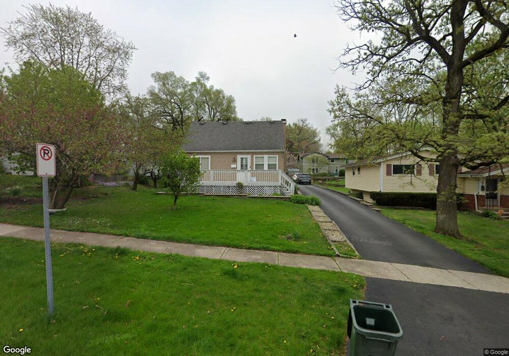
553 Fremont St West Chicago, IL 60185
Chicago West NeighborhoodEstimated Value: $315,852 - $338,000
--
Bed
--
Bath
1,488
Sq Ft
$218/Sq Ft
Est. Value
About This Home
This home is located at 553 Fremont St, West Chicago, IL 60185 and is currently estimated at $324,963, approximately $218 per square foot. 553 Fremont St is a home located in DuPage County with nearby schools including Turner Elementary School, Leman Middle School, and West Chicago Community High School.
Ownership History
Date
Name
Owned For
Owner Type
Purchase Details
Closed on
Nov 30, 2000
Sold by
Oneill Douglas Alan
Bought by
Hernandez Enrique and Hernandez Eva
Current Estimated Value
Home Financials for this Owner
Home Financials are based on the most recent Mortgage that was taken out on this home.
Original Mortgage
$146,984
Outstanding Balance
$54,165
Interest Rate
7.7%
Mortgage Type
FHA
Estimated Equity
$270,798
Create a Home Valuation Report for This Property
The Home Valuation Report is an in-depth analysis detailing your home's value as well as a comparison with similar homes in the area
Home Values in the Area
Average Home Value in this Area
Purchase History
| Date | Buyer | Sale Price | Title Company |
|---|---|---|---|
| Hernandez Enrique | $148,000 | Fox Title Company |
Source: Public Records
Mortgage History
| Date | Status | Borrower | Loan Amount |
|---|---|---|---|
| Open | Hernandez Enrique | $146,984 |
Source: Public Records
Tax History Compared to Growth
Tax History
| Year | Tax Paid | Tax Assessment Tax Assessment Total Assessment is a certain percentage of the fair market value that is determined by local assessors to be the total taxable value of land and additions on the property. | Land | Improvement |
|---|---|---|---|---|
| 2024 | $7,928 | $97,194 | $21,504 | $75,690 |
| 2023 | $7,492 | $88,770 | $19,640 | $69,130 |
| 2022 | $7,284 | $82,960 | $18,350 | $64,610 |
| 2021 | $7,011 | $79,520 | $17,590 | $61,930 |
| 2020 | $6,871 | $77,110 | $17,060 | $60,050 |
| 2019 | $6,670 | $73,430 | $16,250 | $57,180 |
| 2018 | $6,396 | $69,290 | $15,330 | $53,960 |
| 2017 | $6,237 | $65,840 | $14,570 | $51,270 |
| 2016 | $6,051 | $61,380 | $13,580 | $47,800 |
| 2015 | $5,914 | $56,820 | $12,570 | $44,250 |
| 2014 | $5,766 | $55,170 | $12,210 | $42,960 |
| 2013 | $5,846 | $57,190 | $12,660 | $44,530 |
Source: Public Records
Map
Nearby Homes
- 348 Arbor Ave
- 651 Nor Oaks Ct
- 325 E York Ave
- 713 E Elmwood Ave
- 840 Arbor Ave
- 301 W Grand Lake Blvd
- LOT 10 Grandlake Blvd
- 1 St Charles Rd
- Lot 15 Route 59 Hwy
- Lot 14 Route 59 Hwy
- Lot 16 Route 59 Hwy
- Lot 13 Route 59 Hwy
- 867 Honeysuckle Ave
- 130 Sophia St
- 212 N Oakwood Ave
- 235 Ingalton Ave
- 209 E Washington St
- 433 Virgie Place
- 200 Fulton St
- 1N485 N Neltnor Blvd
- 106 E National St
- 549 Fremont St
- LOT # 1 Ingalton Ave
- Lot 44 Shagbark Dr
- 0 N Swc Neltnor Blvd Unit 9972802
- Lot 1 Forest & McDonald St
- 999 W Confidential St
- 31W025 Conte Pkwy
- 9999 Confidential
- Lot 1 Washington St
- Lot 1 2 3 4
- Lot6-7 Pomeroy St
- Lots Donald Ave
- Lot A Roosevelt Rd
- Lot 30 Oak Ave
- LOT #5 SW Rt 64 & Prince Crsng Rd
- 025 Neltnor Hwy
- LOT 4 Roosevelt Rd
- Neltnor Route 59 Blvd
- 1N601 Neltnor Blvd