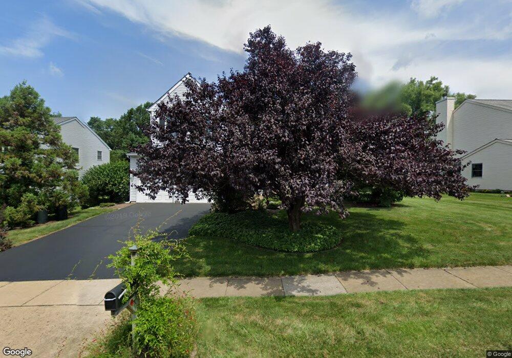
553 Grant St Newtown, PA 18940
Estimated Value: $734,000 - $830,000
3
Beds
3
Baths
2,500
Sq Ft
$316/Sq Ft
Est. Value
About This Home
This home is located at 553 Grant St, Newtown, PA 18940 and is currently estimated at $788,783, approximately $315 per square foot. 553 Grant St is a home located in Bucks County with nearby schools including Goodnoe Elementary School, Newtown Middle School, and Council Rock High School North.
Ownership History
Date
Name
Owned For
Owner Type
Purchase Details
Closed on
Feb 26, 1999
Sold by
Kallens Steven
Bought by
Frey Mark and Frey Deborah
Current Estimated Value
Home Financials for this Owner
Home Financials are based on the most recent Mortgage that was taken out on this home.
Original Mortgage
$195,200
Outstanding Balance
$47,283
Interest Rate
6.76%
Estimated Equity
$741,500
Purchase Details
Closed on
Jan 27, 1997
Sold by
Benizri Esther
Bought by
Kallens Steven
Home Financials for this Owner
Home Financials are based on the most recent Mortgage that was taken out on this home.
Original Mortgage
$198,550
Interest Rate
7.65%
Purchase Details
Closed on
May 9, 1995
Sold by
Benizri Joseph and Benizri Esther
Bought by
Benizri Esther
Create a Home Valuation Report for This Property
The Home Valuation Report is an in-depth analysis detailing your home's value as well as a comparison with similar homes in the area
Home Values in the Area
Average Home Value in this Area
Purchase History
| Date | Buyer | Sale Price | Title Company |
|---|---|---|---|
| Frey Mark | $244,000 | Lawyers Title Insurance Corp | |
| Kallens Steven | $209,000 | -- | |
| Benizri Esther | -- | -- |
Source: Public Records
Mortgage History
| Date | Status | Borrower | Loan Amount |
|---|---|---|---|
| Open | Frey Mark | $195,200 | |
| Previous Owner | Kallens Steven | $198,550 |
Source: Public Records
Tax History Compared to Growth
Tax History
| Year | Tax Paid | Tax Assessment Tax Assessment Total Assessment is a certain percentage of the fair market value that is determined by local assessors to be the total taxable value of land and additions on the property. | Land | Improvement |
|---|---|---|---|---|
| 2025 | $7,358 | $41,400 | $9,800 | $31,600 |
| 2024 | $7,358 | $41,400 | $9,800 | $31,600 |
| 2023 | $7,039 | $41,400 | $9,800 | $31,600 |
| 2022 | $6,903 | $41,400 | $9,800 | $31,600 |
| 2021 | $6,796 | $41,400 | $9,800 | $31,600 |
| 2020 | $6,469 | $41,400 | $9,800 | $31,600 |
| 2019 | $6,316 | $41,400 | $9,800 | $31,600 |
| 2018 | $6,196 | $41,400 | $9,800 | $31,600 |
| 2017 | $5,981 | $41,400 | $9,800 | $31,600 |
| 2016 | $5,940 | $41,400 | $9,800 | $31,600 |
| 2015 | -- | $41,400 | $9,800 | $31,600 |
| 2014 | -- | $41,400 | $9,800 | $31,600 |
Source: Public Records
Map
Nearby Homes
- 54 Kanon Ct
- 532 Penn St
- 41 Nathan Ct
- 337 S Lincoln Ave
- 106 Hicks Alley
- 349 S Lincoln Ave
- 101 N Norwood Ave
- 206 Paxon Alley Unit 51
- 313 Washington Ave
- 440 S State St Unit D3
- 113 Penn St
- 113 Thorton Ln
- 22 Penn St
- 7 Dunham Ln
- 8 Dunham Ln
- 226 Court St
- 215 Rumford Ct
- 8 Bennington Place
- 2 Farmington Place
- 204 Ezra Rd Unit HOMESITE 2