553 Howe St Methuen, MA 01844
The North End NeighborhoodEstimated Value: $822,000 - $892,724
3
Beds
3
Baths
2,964
Sq Ft
$290/Sq Ft
Est. Value
About This Home
This home is located at 553 Howe St, Methuen, MA 01844 and is currently estimated at $858,681, approximately $289 per square foot. 553 Howe St is a home located in Essex County with nearby schools including South Point Elementary School, Methuen High School, and Silver Hill Elementary School.
Ownership History
Date
Name
Owned For
Owner Type
Purchase Details
Closed on
Feb 3, 2021
Sold by
Daly Kim L
Bought by
Galarza Scott A and Daly Kim L
Current Estimated Value
Home Financials for this Owner
Home Financials are based on the most recent Mortgage that was taken out on this home.
Original Mortgage
$360,000
Outstanding Balance
$320,220
Interest Rate
2.65%
Mortgage Type
New Conventional
Estimated Equity
$538,461
Purchase Details
Closed on
Sep 9, 2010
Sold by
Mathews Thomas
Bought by
Daly Kim L
Create a Home Valuation Report for This Property
The Home Valuation Report is an in-depth analysis detailing your home's value as well as a comparison with similar homes in the area
Home Values in the Area
Average Home Value in this Area
Purchase History
| Date | Buyer | Sale Price | Title Company |
|---|---|---|---|
| Galarza Scott A | -- | None Available | |
| Daly Kim L | -- | -- | |
| Daly Kim L | -- | -- |
Source: Public Records
Mortgage History
| Date | Status | Borrower | Loan Amount |
|---|---|---|---|
| Open | Galarza Scott A | $360,000 |
Source: Public Records
Tax History Compared to Growth
Tax History
| Year | Tax Paid | Tax Assessment Tax Assessment Total Assessment is a certain percentage of the fair market value that is determined by local assessors to be the total taxable value of land and additions on the property. | Land | Improvement |
|---|---|---|---|---|
| 2025 | $9,029 | $853,400 | $308,500 | $544,900 |
| 2024 | $8,916 | $821,000 | $271,200 | $549,800 |
| 2023 | $8,571 | $732,600 | $239,300 | $493,300 |
| 2022 | $8,442 | $646,900 | $197,900 | $449,000 |
| 2021 | $7,917 | $600,200 | $187,600 | $412,600 |
| 2020 | $7,822 | $582,000 | $187,600 | $394,400 |
| 2019 | $7,751 | $546,200 | $177,200 | $369,000 |
| 2018 | $7,379 | $517,100 | $166,800 | $350,300 |
| 2017 | $7,114 | $485,600 | $166,800 | $318,800 |
| 2016 | $6,946 | $469,000 | $156,500 | $312,500 |
| 2015 | $6,663 | $456,400 | $156,500 | $299,900 |
Source: Public Records
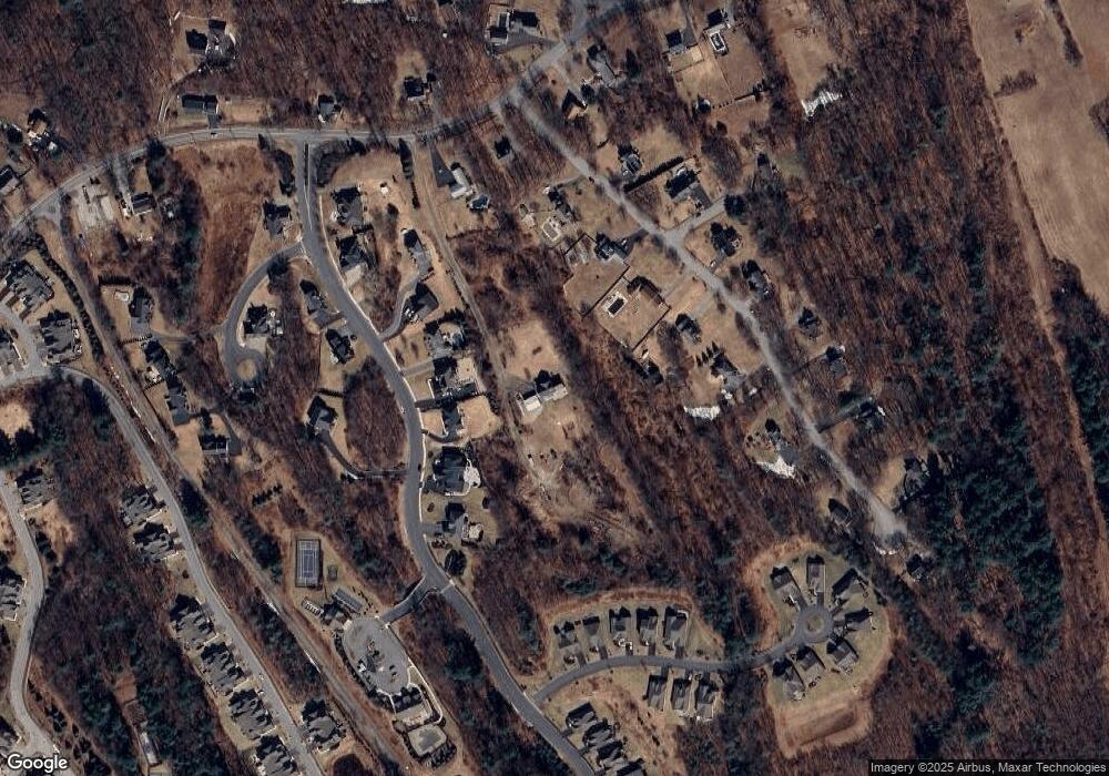
Map
Nearby Homes
- 33 Lake St
- 2 Danforth Ct
- 132 W Meadow Rd Unit 18
- 47 Bailey Ct
- 16 W Parish Ct
- 25 Thayer St
- 29 Prescott St
- 81 Clement Ct
- 1 W Parish Ct
- 51 Kelly St
- 186 Mohawk Trail
- 28 Emma Rose Cir Unit Lot 2
- 216 Morgan Dr Unit 216
- 655 W Lowell Ave Unit 6
- 635 W Lowell Ave Unit 7
- 13 Sylvan Hill Crossing
- 23 Sylvan Hill Crossing
- 50 Woburn St
- 48 Coolidge Ave
- 46 Oneida St
- 14 Pine Tree Dr
- 12 Pine Tree Dr Unit Lot 141
- 12 Pine Tree Dr
- 10 Pine Tree Dr
- 16 Pine Tree Dr Unit Lot 18
- 16 Pine Tree Dr
- 9 Stephan Ave
- 5 Stephan Ave
- 15 Stephan Ave
- 8 Pine Tree Dr
- 18 Pine Tree Dr
- 1 Stephan Ave
- 17 Stephan Ave
- 6 Pine Tree Dr
- 5 Pine Tree Dr
- 10 Methuen Rd
- 7 Pine Tree Dr
- 10 Stephan Ave
- 4 Pine Tree Dr
- 8 Methuen Rd