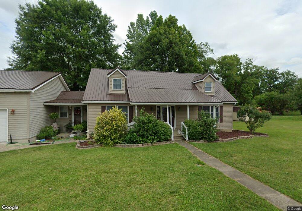
553 Jason St Wellston, OH 45692
Estimated Value: $189,000 - $261,000
3
Beds
3
Baths
1,674
Sq Ft
$140/Sq Ft
Est. Value
About This Home
This home is located at 553 Jason St, Wellston, OH 45692 and is currently estimated at $234,159, approximately $139 per square foot. 553 Jason St is a home located in Jackson County with nearby schools including Bundy Elementary School, Wellston Intermediate School, and Wellston Middle School.
Ownership History
Date
Name
Owned For
Owner Type
Purchase Details
Closed on
Oct 31, 2012
Sold by
Arthur Nalin A and Cline Megan L
Bought by
Holzapfel Jason M and Holzapfel Jackie A
Current Estimated Value
Home Financials for this Owner
Home Financials are based on the most recent Mortgage that was taken out on this home.
Original Mortgage
$128,000
Outstanding Balance
$88,157
Interest Rate
3.32%
Mortgage Type
New Conventional
Estimated Equity
$146,002
Purchase Details
Closed on
Nov 22, 1994
Sold by
Winters Rodney G
Bought by
Faught Anthony J and Faught Tonya M
Create a Home Valuation Report for This Property
The Home Valuation Report is an in-depth analysis detailing your home's value as well as a comparison with similar homes in the area
Home Values in the Area
Average Home Value in this Area
Purchase History
| Date | Buyer | Sale Price | Title Company |
|---|---|---|---|
| Holzapfel Jason M | $163,000 | Arrow Title Agency Llc | |
| Holzapfel Jason M | $143,000 | Arrow Title Agency Llc | |
| Faught Anthony J | $16,000 | -- |
Source: Public Records
Mortgage History
| Date | Status | Borrower | Loan Amount |
|---|---|---|---|
| Open | Holzapfel Jason M | $128,000 | |
| Closed | Holzapfel Jason M | $128,000 |
Source: Public Records
Tax History Compared to Growth
Tax History
| Year | Tax Paid | Tax Assessment Tax Assessment Total Assessment is a certain percentage of the fair market value that is determined by local assessors to be the total taxable value of land and additions on the property. | Land | Improvement |
|---|---|---|---|---|
| 2024 | $2,013 | $54,480 | $6,960 | $47,520 |
| 2023 | $2,011 | $54,480 | $6,960 | $47,520 |
| 2022 | $2,062 | $43,590 | $5,980 | $37,610 |
| 2021 | $1,704 | $43,590 | $5,980 | $37,610 |
| 2020 | $1,745 | $43,590 | $5,980 | $37,610 |
| 2019 | $1,742 | $42,240 | $5,800 | $36,440 |
| 2018 | $1,690 | $42,240 | $5,800 | $36,440 |
| 2017 | $1,576 | $42,240 | $5,800 | $36,440 |
| 2016 | $1,541 | $40,010 | $3,890 | $36,120 |
| 2015 | $1,539 | $40,010 | $3,890 | $36,120 |
| 2013 | $1,403 | $38,300 | $3,890 | $34,410 |
| 2012 | $1,422 | $38,300 | $3,890 | $34,410 |
Source: Public Records
Map
Nearby Homes
- 552 W B St
- 629 W D St
- 222 N Michigan Ave
- 21 S Michigan Ave
- 408 N Park Ave
- 224 W 4th St
- 0 Womeldorf Ln
- 16 E Broadway St
- 1040 W Broadway St
- 224 E A St
- 616 S Michigan Ave
- 224 E 2nd St
- 374 Exline Rd
- 416 S New York Ave
- 0 Cedar St
- 436 S Connecticut Ave
- 303 E 9th St
- 11834 Ohio 327
- 0 Ohio 327
- 1254 S New York Ave