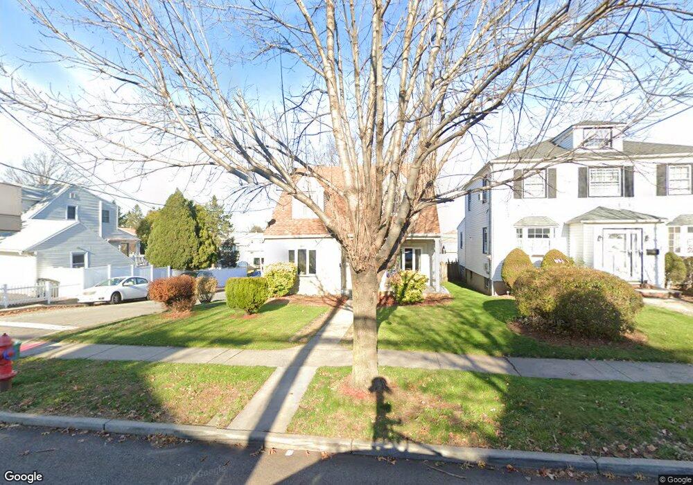
553 Kingsland Ave Unit 1A Lyndhurst, NJ 07071
Estimated Value: $795,092 - $980,000
3
Beds
2
Baths
2,083
Sq Ft
$416/Sq Ft
Est. Value
About This Home
This home is located at 553 Kingsland Ave Unit 1A, Lyndhurst, NJ 07071 and is currently estimated at $865,773, approximately $415 per square foot. 553 Kingsland Ave Unit 1A is a home located in Bergen County with nearby schools including Lyndhurst High School and Sacred Heart School.
Ownership History
Date
Name
Owned For
Owner Type
Purchase Details
Closed on
Feb 17, 1994
Sold by
Estate Of Anita Herman
Bought by
Bouhot Luis and Bouhot Luz
Current Estimated Value
Home Financials for this Owner
Home Financials are based on the most recent Mortgage that was taken out on this home.
Original Mortgage
$144,000
Interest Rate
7.18%
Create a Home Valuation Report for This Property
The Home Valuation Report is an in-depth analysis detailing your home's value as well as a comparison with similar homes in the area
Home Values in the Area
Average Home Value in this Area
Purchase History
| Date | Buyer | Sale Price | Title Company |
|---|---|---|---|
| Bouhot Luis | $160,000 | -- |
Source: Public Records
Mortgage History
| Date | Status | Borrower | Loan Amount |
|---|---|---|---|
| Closed | Bouhot Luis | $144,000 |
Source: Public Records
Tax History Compared to Growth
Tax History
| Year | Tax Paid | Tax Assessment Tax Assessment Total Assessment is a certain percentage of the fair market value that is determined by local assessors to be the total taxable value of land and additions on the property. | Land | Improvement |
|---|---|---|---|---|
| 2025 | $13,146 | $640,800 | $298,800 | $342,000 |
| 2024 | $12,672 | $630,200 | $292,100 | $338,100 |
| 2023 | $12,672 | $623,600 | $289,300 | $334,300 |
| 2022 | $11,283 | $355,700 | $176,000 | $179,700 |
| 2021 | $10,813 | $355,700 | $176,000 | $179,700 |
| 2020 | $10,579 | $355,700 | $176,000 | $179,700 |
| 2019 | $10,500 | $355,700 | $176,000 | $179,700 |
| 2018 | $10,586 | $355,700 | $176,000 | $179,700 |
| 2017 | $10,319 | $355,700 | $176,000 | $179,700 |
| 2016 | $10,088 | $355,700 | $176,000 | $179,700 |
| 2015 | $9,771 | $355,700 | $176,000 | $179,700 |
| 2014 | $9,643 | $355,700 | $176,000 | $179,700 |
Source: Public Records
Map
Nearby Homes
- 553 Kingsland Ave
- 547 Kingsland Ave
- 565 Kingsland Ave
- 565 Kingsland Ave Unit 2
- 565 Kingsland Ave Unit 1
- 561 Kingsland Ave
- 545 Kingsland Ave
- 534 Sollas Ct
- 529 Sollas Ct
- 567 Kingsland Ave
- 567 Kingsland Ave Unit 1
- 543 Kingsland Ave
- 533 Sollas Ct
- 558 Sollas Ct
- 537 Sollas Ct
- 573 Kingsland Ave
- 538 Kingsland Ave
- 539 Kingsland Ave
- 540 Kingsland Ave
- 534 Kingsland Ave