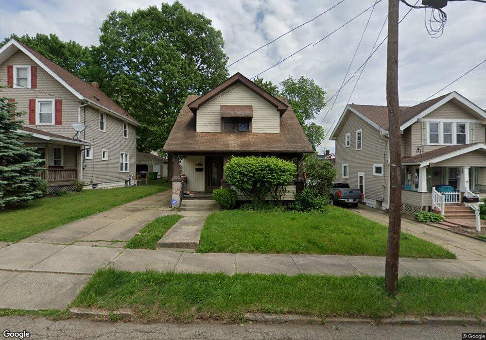
553 Lloyd St Barberton, OH 44203
North Barberton NeighborhoodEstimated Value: $147,000 - $170,000
3
Beds
2
Baths
1,404
Sq Ft
$112/Sq Ft
Est. Value
About This Home
This home is located at 553 Lloyd St, Barberton, OH 44203 and is currently estimated at $156,566, approximately $111 per square foot. 553 Lloyd St is a home located in Summit County with nearby schools including Barberton Middle School, Barberton High School, and Imagine Akron Academy.
Ownership History
Date
Name
Owned For
Owner Type
Purchase Details
Closed on
Nov 15, 2022
Sold by
County Treasurer
Bought by
Adair Asset Management Llc
Current Estimated Value
Purchase Details
Closed on
Dec 27, 2018
Sold by
The Estate Of Ronald Glen Gorham
Bought by
Gorham Patricia A
Create a Home Valuation Report for This Property
The Home Valuation Report is an in-depth analysis detailing your home's value as well as a comparison with similar homes in the area
Home Values in the Area
Average Home Value in this Area
Purchase History
| Date | Buyer | Sale Price | Title Company |
|---|---|---|---|
| Adair Asset Management Llc | -- | -- | |
| Gorham Patricia A | -- | None Available |
Source: Public Records
Tax History
| Year | Tax Paid | Tax Assessment Tax Assessment Total Assessment is a certain percentage of the fair market value that is determined by local assessors to be the total taxable value of land and additions on the property. | Land | Improvement |
|---|---|---|---|---|
| 2025 | $2,067 | $39,389 | $8,211 | $31,178 |
| 2024 | $1,968 | $39,389 | $8,211 | $31,178 |
| 2023 | $2,067 | $39,389 | $8,211 | $31,178 |
| 2022 | $1,528 | $26,520 | $5,366 | $21,154 |
| 2021 | $1,527 | $26,520 | $5,366 | $21,154 |
| 2020 | $1,494 | $26,520 | $5,370 | $21,150 |
| 2019 | $1,498 | $24,080 | $4,720 | $19,360 |
| 2018 | $1,616 | $24,080 | $4,720 | $19,360 |
| 2017 | $1,536 | $24,080 | $4,720 | $19,360 |
| 2016 | $1,539 | $24,080 | $4,720 | $19,360 |
| 2015 | $1,536 | $24,080 | $4,720 | $19,360 |
| 2014 | $1,528 | $24,080 | $4,720 | $19,360 |
| 2013 | $1,475 | $24,100 | $4,720 | $19,380 |
Source: Public Records
Map
Nearby Homes
- 217 W Summit St
- 0 Wooster Rd N
- 655 N Way St
- 720 Newton Ave
- 46 Brown St
- 332 Lincoln Ave
- 491 Taft Ave
- 349 E Hopocan Ave
- 888 Orchard Ave
- 513 Franklin Ave
- 524 Jefferson Ave
- 255 Glenn St
- 1952 Caroline Ave
- 175 2nd St NE Unit 177
- 197 W State St Unit 182
- 240 1st St NW
- 1974 Newton Ave
- 1923 Caroline Ave
- 492 E Hopocan Ave
- 0 Romig Ave
Your Personal Tour Guide
Ask me questions while you tour the home.