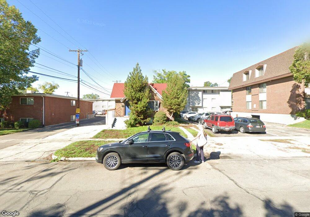
553 N 400 E Provo, UT 84606
Joaquin NeighborhoodEstimated Value: $463,000 - $697,000
4
Beds
2
Baths
2,124
Sq Ft
$277/Sq Ft
Est. Value
About This Home
This home is located at 553 N 400 E, Provo, UT 84606 and is currently estimated at $587,870, approximately $276 per square foot. 553 N 400 E is a home located in Utah County with nearby schools including Provo Peaks School, Centennial Middle School, and Timpview High School.
Ownership History
Date
Name
Owned For
Owner Type
Purchase Details
Closed on
Jul 9, 2013
Sold by
Alpine Court Investments Llc
Bought by
Alieta Fund Ii Llc
Current Estimated Value
Home Financials for this Owner
Home Financials are based on the most recent Mortgage that was taken out on this home.
Original Mortgage
$144,000
Outstanding Balance
$104,974
Interest Rate
3.98%
Mortgage Type
Commercial
Estimated Equity
$482,896
Purchase Details
Closed on
Oct 18, 2006
Sold by
Sswrtw Trust
Bought by
Alpine Court Investments Llc
Purchase Details
Closed on
Jul 18, 2006
Sold by
Cannings Co
Bought by
Seolas Robert K and Sswrtw Trust
Purchase Details
Closed on
Aug 19, 1996
Sold by
Breeden Linda L and Rogers Linda L
Bought by
Cannings Co
Create a Home Valuation Report for This Property
The Home Valuation Report is an in-depth analysis detailing your home's value as well as a comparison with similar homes in the area
Home Values in the Area
Average Home Value in this Area
Purchase History
| Date | Buyer | Sale Price | Title Company |
|---|---|---|---|
| Alieta Fund Ii Llc | -- | Backman Title Services Ltd | |
| Alpine Court Investments Llc | -- | None Available | |
| Seolas Robert K | -- | Utah First Title Insurance | |
| Cannings Co | -- | -- |
Source: Public Records
Mortgage History
| Date | Status | Borrower | Loan Amount |
|---|---|---|---|
| Open | Alieta Fund Ii Llc | $144,000 |
Source: Public Records
Tax History
| Year | Tax Paid | Tax Assessment Tax Assessment Total Assessment is a certain percentage of the fair market value that is determined by local assessors to be the total taxable value of land and additions on the property. | Land | Improvement |
|---|---|---|---|---|
| 2025 | $2,816 | $256,740 | -- | -- |
| 2024 | $2,816 | $277,145 | $0 | $0 |
| 2023 | $2,828 | $274,395 | $0 | $0 |
| 2022 | $2,671 | $261,360 | $0 | $0 |
| 2021 | $2,227 | $380,100 | $133,000 | $247,100 |
| 2020 | $2,122 | $339,500 | $118,800 | $220,700 |
| 2019 | $1,898 | $315,800 | $115,600 | $200,200 |
| 2018 | $1,627 | $274,600 | $152,200 | $122,400 |
| 2017 | $1,660 | $153,945 | $0 | $0 |
| 2016 | $1,506 | $130,130 | $0 | $0 |
| 2015 | $1,434 | $125,235 | $0 | $0 |
| 2014 | $1,314 | $119,625 | $0 | $0 |
Source: Public Records
Map
Nearby Homes
- 433 N 300 E
- 394 N 300 E
- 466 N 200 E
- 232 E 400 N
- 541 E 500 N Unit 12
- 380 N 200 E
- 386 N 500 E
- 364 N 500 E
- 136 E 400 N Unit 108
- 513 E 700 N
- 261 N 400 E Unit 301
- 232 E 300 N
- 246 N 200 E
- 240 N 500 East St
- 639 N University Ave Unit 10
- 735 E 620 N
- 194 N 100 E
- 785 E 560 N Unit 405
- 142 N 100 E
- 567 N University Ave Unit 209
Your Personal Tour Guide
Ask me questions while you tour the home.