553 N Left Fork Ln Burnsville, NC 28714
Estimated Value: $236,000 - $493,000
2
Beds
2
Baths
960
Sq Ft
$388/Sq Ft
Est. Value
About This Home
This home is located at 553 N Left Fork Ln, Burnsville, NC 28714 and is currently estimated at $372,214, approximately $387 per square foot. 553 N Left Fork Ln is a home with nearby schools including Mountain Heritage High School.
Ownership History
Date
Name
Owned For
Owner Type
Purchase Details
Closed on
Oct 28, 2024
Sold by
Krywick Scott
Bought by
Krywick Scott and Krywick Anna
Current Estimated Value
Purchase Details
Closed on
Aug 10, 2024
Sold by
Krywick Susan and Zimmerman Susan
Bought by
Krywick Scott
Purchase Details
Closed on
Aug 2, 2022
Sold by
Krywick Mary
Bought by
Krywick Scott
Purchase Details
Closed on
Feb 8, 1995
Bought by
Krywick Scott
Create a Home Valuation Report for This Property
The Home Valuation Report is an in-depth analysis detailing your home's value as well as a comparison with similar homes in the area
Home Values in the Area
Average Home Value in this Area
Purchase History
| Date | Buyer | Sale Price | Title Company |
|---|---|---|---|
| Krywick Scott | -- | None Listed On Document | |
| Krywick Scott | -- | None Listed On Document | |
| Krywick Scott | -- | None Listed On Document | |
| Krywick Scott | -- | -- | |
| Krywick Scott | -- | -- |
Source: Public Records
Tax History Compared to Growth
Tax History
| Year | Tax Paid | Tax Assessment Tax Assessment Total Assessment is a certain percentage of the fair market value that is determined by local assessors to be the total taxable value of land and additions on the property. | Land | Improvement |
|---|---|---|---|---|
| 2025 | $1,324 | $220,700 | $84,200 | $136,500 |
| 2024 | $1,324 | $220,700 | $84,200 | $136,500 |
| 2023 | $739 | $108,610 | $45,000 | $63,610 |
| 2022 | $724 | $108,610 | $45,000 | $63,610 |
| 2021 | $739 | $108,610 | $45,000 | $63,610 |
| 2020 | $739 | $108,610 | $45,000 | $63,610 |
| 2019 | $739 | $108,610 | $45,000 | $63,610 |
| 2018 | $739 | $108,610 | $45,000 | $63,610 |
| 2017 | $739 | $108,610 | $45,000 | $63,610 |
| 2016 | $717 | $108,610 | $45,000 | $63,610 |
| 2015 | $593 | $105,860 | $40,000 | $65,860 |
| 2014 | $593 | $105,860 | $40,000 | $65,860 |
Source: Public Records
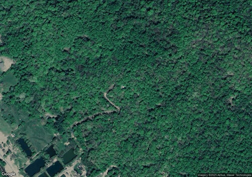
Map
Nearby Homes
- 165 Cattail Creek Rd
- 000 Rocky Fork Rd
- 0000 Cattail Creek Rd
- 88 Mountain Farm Rd
- 170 Mountain Farm Rd
- 370 Appaloosa Trail
- 12 Goodtime Ln
- 264 Quiet Times Ln
- 5511 N Carolina 197
- 26 Cold Spring Rd
- 5381 N Carolina 197
- 5381 N Carolina 197 Unit 3
- 5381 State Hwy 197 Hwy S
- 1396 Winter Star Rd
- 000 Satellite Mountain Rd
- 11820 State Highway 197 None S
- 00 Red Oak Ln N Unit Lot 24
- 0 Old Sawmill Rd Unit CAR4228515
- TBD Wildwood Acres Dr Unit 16,17,23
- 50 Turkey Trot Ln
- 325 N Left Fork Ln
- 63 Left Fork Ln
- 181 Rush Cove
- 350 Rush Cove
- 350 Rush Cove
- 279 Rush Cove
- 325 Cattail Creek Rd
- 287 Rush Cove
- 885 Cattail Creek Rd
- 38 Hillbilly Ln
- 415 Cattail Creek Rd
- 307 Cattail Creek Rd
- 307 Cattail Creek Rd
- 214 Pine Cone Ln
- 609 Cattail Creek Rd
- 206 Pine Cone Ln
- 219 Country Meadows
- 393 Country Meadows
- 269 Cattail Creek Rd
- 591 Cattail Creek Rd