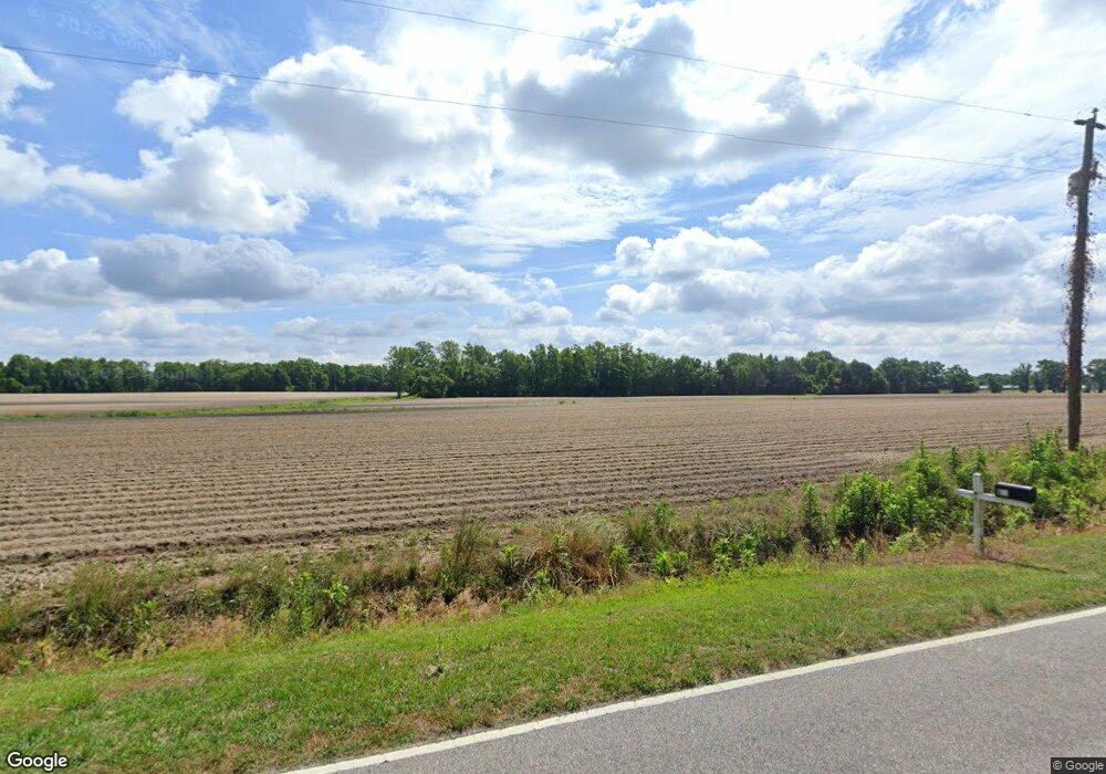
553 Perry Rivenbark Rd Warsaw, NC 28398
Estimated Value: $158,000 - $1,623,389
--
Bed
--
Bath
1,564
Sq Ft
$674/Sq Ft
Est. Value
About This Home
This home is located at 553 Perry Rivenbark Rd, Warsaw, NC 28398 and is currently estimated at $1,053,463, approximately $673 per square foot. 553 Perry Rivenbark Rd is a home with nearby schools including Warsaw Elementary School, Warsaw Middle, and James Kenan High School.
Ownership History
Date
Name
Owned For
Owner Type
Purchase Details
Closed on
Jun 24, 2025
Sold by
Matthews Family Farms Llc
Bought by
M And A Phillips Llc
Current Estimated Value
Home Financials for this Owner
Home Financials are based on the most recent Mortgage that was taken out on this home.
Original Mortgage
$8,647,285
Outstanding Balance
$8,557,029
Interest Rate
5.92%
Mortgage Type
New Conventional
Estimated Equity
-$7,503,566
Purchase Details
Closed on
Dec 29, 2006
Sold by
Blanchard Edwin James and Blanchard Lizabeth H
Bought by
Matthews Family Farms Llc
Create a Home Valuation Report for This Property
The Home Valuation Report is an in-depth analysis detailing your home's value as well as a comparison with similar homes in the area
Home Values in the Area
Average Home Value in this Area
Purchase History
| Date | Buyer | Sale Price | Title Company |
|---|---|---|---|
| M And A Phillips Llc | $1,750,000 | None Listed On Document | |
| M And A Phillips Llc | $1,750,000 | None Listed On Document | |
| Matthews Family Farms Llc | $750,000 | None Available |
Source: Public Records
Mortgage History
| Date | Status | Borrower | Loan Amount |
|---|---|---|---|
| Open | M And A Phillips Llc | $8,647,285 | |
| Closed | M And A Phillips Llc | $8,647,285 |
Source: Public Records
Tax History Compared to Growth
Tax History
| Year | Tax Paid | Tax Assessment Tax Assessment Total Assessment is a certain percentage of the fair market value that is determined by local assessors to be the total taxable value of land and additions on the property. | Land | Improvement |
|---|---|---|---|---|
| 2025 | $6,783 | $1,622,200 | $681,600 | $940,600 |
| 2024 | $7,867 | $1,596,000 | $718,800 | $877,200 |
| 2023 | $15,738 | $1,596,000 | $718,800 | $877,200 |
| 2022 | $7,710 | $977,300 | $100,100 | $877,200 |
| 2021 | $15,329 | $977,300 | $100,100 | $877,200 |
| 2020 | $7,867 | $977,300 | $718,800 | $258,500 |
| 2019 | $14,952 | $977,300 | $718,800 | $258,500 |
| 2018 | $0 | $977,300 | $100,100 | $877,200 |
| 2016 | $13,904 | $905,200 | $107,300 | $797,900 |
| 2013 | $13,472 | $905,200 | $107,300 | $797,900 |
Source: Public Records
Map
Nearby Homes
- 617 Johnson Church Rd
- Lot 32 S Cross St
- 107 W John St
- 503 W Bay St
- Lot 85 S Center St
- 0000 Old Pete Quinn Rd
- 533 W College St
- 527 W College St
- 204 E Bay St
- 185 Lanefield Rd
- 179 Lanefield Rd
- 112 E Hill St
- 159 Meadowbrook Ln
- 403 E Hill St
- 00 Pete Quinn Rd
- 2536 Hwy 24
- 126 Henry Middleton Rd
- Lots 64-65 Curtis Rd
- 2536 State 24
- 707 Curtis Rd
- 676 Perry Rivenbark Rd
- 567 Perry Rivenbark Rd
- 0 Perry Rivenbark Rd
- 100 Perry Rivenbark Rd
- 1264 S Us 117 Hwy
- 680 Perry Rivenbark Rd
- 742 Perry Rivenbark Rd
- 112 Willie Bostic Ln
- 136 Willie Bostic Ln
- 161 Willie Bostic Ln
- 762 Perry Rivenbark Rd
- 144 Charlie Frederick Rd
- 1220 S Us 117 Hwy
- 492 Perry Rivenbark Rd
- 1222 S Us 117 Hwy
- 1339 S Hwy 117
- 162 Charlie Frederick Rd
- 787 Perry Rivenbark Rd
- 170 Charlie Frederick Rd
- 180 Charlie Frederick Rd
