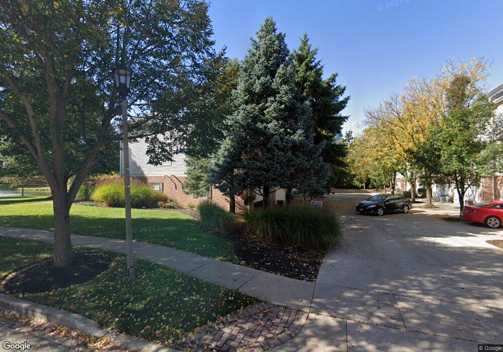
553 Pheasant Trail Saint Charles, IL 60174
Cornerstone Lakes NeighborhoodEstimated Value: $345,000 - $359,000
3
Beds
4
Baths
1,914
Sq Ft
$184/Sq Ft
Est. Value
About This Home
This home is located at 553 Pheasant Trail, Saint Charles, IL 60174 and is currently estimated at $352,497, approximately $184 per square foot. 553 Pheasant Trail is a home located in DuPage County with nearby schools including Norton Creek Elementary School, Wredling Middle School, and St Charles East High School.
Ownership History
Date
Name
Owned For
Owner Type
Purchase Details
Closed on
Apr 19, 2021
Sold by
Osborn Gayle G and Osborn Kristine R
Bought by
Maloy Ann Marie
Current Estimated Value
Home Financials for this Owner
Home Financials are based on the most recent Mortgage that was taken out on this home.
Original Mortgage
$199,900
Outstanding Balance
$180,456
Interest Rate
2.99%
Mortgage Type
New Conventional
Estimated Equity
$172,041
Purchase Details
Closed on
May 5, 1998
Sold by
Pheasant Run Trails Ltd Partnership
Bought by
Osborn Gayle G and Osborn Kristine R
Home Financials for this Owner
Home Financials are based on the most recent Mortgage that was taken out on this home.
Original Mortgage
$167,190
Interest Rate
6.5%
Mortgage Type
Purchase Money Mortgage
Create a Home Valuation Report for This Property
The Home Valuation Report is an in-depth analysis detailing your home's value as well as a comparison with similar homes in the area
Home Values in the Area
Average Home Value in this Area
Purchase History
| Date | Buyer | Sale Price | Title Company |
|---|---|---|---|
| Maloy Ann Marie | $250,000 | Baird & Warner Ttl Svcs Inc | |
| Osborn Gayle G | $186,000 | -- |
Source: Public Records
Mortgage History
| Date | Status | Borrower | Loan Amount |
|---|---|---|---|
| Open | Maloy Ann Marie | $199,900 | |
| Previous Owner | Osborn Gayle G | $167,190 |
Source: Public Records
Tax History Compared to Growth
Tax History
| Year | Tax Paid | Tax Assessment Tax Assessment Total Assessment is a certain percentage of the fair market value that is determined by local assessors to be the total taxable value of land and additions on the property. | Land | Improvement |
|---|---|---|---|---|
| 2024 | $4,340 | $89,840 | $19,696 | $70,144 |
| 2023 | $4,664 | $81,510 | $17,870 | $63,640 |
| 2022 | $5,095 | $75,750 | $16,610 | $59,140 |
| 2021 | $4,961 | $71,910 | $15,770 | $56,140 |
| 2020 | $5,136 | $69,760 | $15,300 | $54,460 |
| 2019 | $4,942 | $67,270 | $14,750 | $52,520 |
| 2018 | $4,944 | $67,050 | $14,700 | $52,350 |
| 2017 | $4,769 | $64,370 | $14,110 | $50,260 |
| 2016 | $4,926 | $61,490 | $13,480 | $48,010 |
| 2015 | $4,787 | $58,210 | $12,760 | $45,450 |
| 2014 | $4,981 | $60,360 | $13,230 | $47,130 |
| 2013 | $5,038 | $61,810 | $13,550 | $48,260 |
Source: Public Records
Map
Nearby Homes
- 531 Pheasant Trail
- 4015 Faith Ln
- 4057 Pheasant Ct
- 4012 Faith Ln
- 4020 Faith Ln
- 432 Lakeshore Ct
- 434 Lakeshore Ct
- 436 Lakeshore Ct
- 438 Lakeshore Ct
- 440 Lakeshore Ct
- 441 Lakeshore Ct
- 442 Lakeshore Ct
- 443 Lakeshore Ct
- 445 Lakeshore Ct
- 447 Lakeshore Ct
- 448 Lakeshore Ct
- 450 Lakeshore Ct
- 2420 Barnhart St
- 369 Bridgeview Ct
- 367 Bridgeview Ct
- 553 Pheasant Trail Unit 553
- 555 Pheasant Trail
- 551 Pheasant Trail
- 551 Pheasant Trail Unit 551
- 551 Pheasant Trail
- 557 Pheasant Trail
- 549 Pheasant Trail
- 559 Pheasant Trail
- 539 Pheasant Trail
- 537 Pheasant Trail
- 535 Pheasant Trail
- 541 Pheasant Trail
- 543 Pheasant Trail
- 563 Pheasant Trail
- 533 Pheasant Trail
- 545 Pheasant Trail
- 547 Pheasant Trail
- 521 Pheasant Trail
- 523 Pheasant Trail
- 525 Pheasant Trail