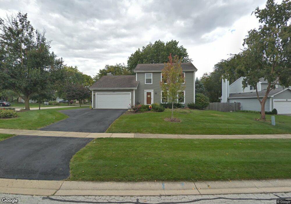
553 Stewart St Batavia, IL 60510
Southeast Batavia NeighborhoodEstimated Value: $377,036 - $481,000
3
Beds
2
Baths
1,729
Sq Ft
$239/Sq Ft
Est. Value
About This Home
This home is located at 553 Stewart St, Batavia, IL 60510 and is currently estimated at $413,009, approximately $238 per square foot. 553 Stewart St is a home located in Kane County with nearby schools including J B Nelson Elementary School, Sam Rotolo Middle School, and Batavia Sr High School.
Ownership History
Date
Name
Owned For
Owner Type
Purchase Details
Closed on
Apr 8, 2003
Sold by
Meister Jerald E and Meister Cindy S
Bought by
Johnson Johnny E and Johnson Beth
Current Estimated Value
Home Financials for this Owner
Home Financials are based on the most recent Mortgage that was taken out on this home.
Original Mortgage
$222,488
Outstanding Balance
$95,299
Interest Rate
5.71%
Mortgage Type
FHA
Estimated Equity
$317,710
Purchase Details
Closed on
Aug 8, 1995
Sold by
Royar Douglas W and Royar Christine A
Bought by
Meister Jerald E and Meister Cindy S
Home Financials for this Owner
Home Financials are based on the most recent Mortgage that was taken out on this home.
Original Mortgage
$139,500
Interest Rate
7.12%
Create a Home Valuation Report for This Property
The Home Valuation Report is an in-depth analysis detailing your home's value as well as a comparison with similar homes in the area
Home Values in the Area
Average Home Value in this Area
Purchase History
| Date | Buyer | Sale Price | Title Company |
|---|---|---|---|
| Johnson Johnny E | $226,000 | Chicago Title Insurance Co | |
| Meister Jerald E | $155,000 | Fox Title Company |
Source: Public Records
Mortgage History
| Date | Status | Borrower | Loan Amount |
|---|---|---|---|
| Open | Johnson Johnny E | $222,488 | |
| Previous Owner | Meister Jerald E | $139,500 |
Source: Public Records
Tax History Compared to Growth
Tax History
| Year | Tax Paid | Tax Assessment Tax Assessment Total Assessment is a certain percentage of the fair market value that is determined by local assessors to be the total taxable value of land and additions on the property. | Land | Improvement |
|---|---|---|---|---|
| 2024 | $8,480 | $107,250 | $21,054 | $86,196 |
| 2023 | $8,353 | $97,341 | $19,109 | $78,232 |
| 2022 | $7,944 | $90,973 | $17,859 | $73,114 |
| 2021 | $7,648 | $86,280 | $16,938 | $69,342 |
| 2020 | $7,468 | $84,621 | $16,612 | $68,009 |
| 2019 | $7,361 | $81,625 | $16,024 | $65,601 |
| 2018 | $7,084 | $78,516 | $15,414 | $63,102 |
| 2017 | $6,927 | $75,927 | $14,906 | $61,021 |
| 2016 | $6,792 | $73,716 | $14,472 | $59,244 |
| 2015 | -- | $72,037 | $14,142 | $57,895 |
| 2014 | -- | $69,770 | $13,697 | $56,073 |
| 2013 | -- | $79,397 | $24,418 | $54,979 |
Source: Public Records
Map
Nearby Homes
- 621 Young Ave
- 1136 Pine Ct
- Lot 1 Center St
- 1017 Willow Ln Unit 2
- Lot 4 Manchester Ave
- 129 S Prairie St
- 637 E Wilson St
- 428 E Wilson St
- 304 Manchester Ave
- 1025 E Wilson St
- 817 Woodland Hills Rd
- 860 S River St
- 943 Orchard Ct
- 1267 Foxglove Dr
- 1273 Foxglove Dr
- 1277 Foxglove Dr
- 1283 Foxglove Dr
- 1285 Foxglove Dr
- 133 Mayflower Dr
- 473 Bond Dr
- 543 Stewart St
- 745 Newberry Dr
- 533 Stewart St
- 752 Newberry Dr
- 550 Stewart St
- 760 Newberry Dr
- 540 Stewart St
- 746 Newberry Dr
- 735 Newberry Dr
- 800 Newberry Dr
- 736 Newberry Dr
- 523 Stewart St
- 808 Newberry Dr
- 819 Newberry Dr
- 751 Mather Ln
- 526 Carlson Ct
- 725 Newberry Dr
- 741 Mather Ln
- 761 Mather Ln
- 726 Newberry Dr