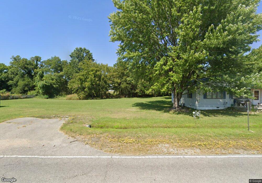
553 W Joe Koelsch Dr Locust Grove, OK 74352
Estimated Value: $202,381 - $347,000
2
Beds
2
Baths
1,176
Sq Ft
$240/Sq Ft
Est. Value
About This Home
This home is located at 553 W Joe Koelsch Dr, Locust Grove, OK 74352 and is currently estimated at $282,794, approximately $240 per square foot. 553 W Joe Koelsch Dr is a home with nearby schools including Locust Grove Early Lrning Center, Locust Grove Upper Elementary School, and Locust Grove Middle School.
Ownership History
Date
Name
Owned For
Owner Type
Purchase Details
Closed on
Oct 28, 2024
Sold by
Sitsler Joyce and Sitsler James
Bought by
Low Water Dam Store Llc
Current Estimated Value
Purchase Details
Closed on
Aug 11, 2023
Sold by
Haley Coylene
Bought by
Pendergraft Mike and Pendergraft Robin
Purchase Details
Closed on
Jan 23, 2003
Sold by
Saffell Wendell
Bought by
Pendergraft Mike and Pendergraft Robin
Purchase Details
Closed on
Feb 25, 2000
Sold by
Jaycox Nickie I
Bought by
Saffell Wendell Clay
Purchase Details
Closed on
Jul 1, 1997
Sold by
Smith William N and Smith Iii
Bought by
Jaycox Nickie I
Create a Home Valuation Report for This Property
The Home Valuation Report is an in-depth analysis detailing your home's value as well as a comparison with similar homes in the area
Home Values in the Area
Average Home Value in this Area
Purchase History
| Date | Buyer | Sale Price | Title Company |
|---|---|---|---|
| Low Water Dam Store Llc | $350,000 | Apex Title | |
| Low Water Dam Store Llc | $350,000 | Apex Title | |
| Pendergraft Mike | $29,000 | Chicago Title | |
| Pendergraft Mike | $30,000 | -- | |
| Saffell Wendell Clay | $35,000 | -- | |
| Jaycox Nickie I | $40,000 | -- |
Source: Public Records
Tax History Compared to Growth
Tax History
| Year | Tax Paid | Tax Assessment Tax Assessment Total Assessment is a certain percentage of the fair market value that is determined by local assessors to be the total taxable value of land and additions on the property. | Land | Improvement |
|---|---|---|---|---|
| 2025 | $1,018 | $11,489 | $5,221 | $6,268 |
| 2023 | $1,018 | $10,421 | $4,758 | $5,663 |
| 2022 | $895 | $9,925 | $4,480 | $5,445 |
| 2021 | $871 | $9,452 | $4,480 | $4,972 |
| 2020 | $842 | $9,002 | $4,732 | $4,270 |
| 2019 | $803 | $8,574 | $4,315 | $4,259 |
| 2018 | $819 | $8,574 | $4,315 | $4,259 |
| 2017 | $819 | $8,574 | $4,315 | $4,259 |
| 2016 | $800 | $8,574 | $4,315 | $4,259 |
| 2015 | $821 | $8,528 | $4,270 | $4,258 |
| 2014 | $782 | $8,122 | $3,864 | $4,258 |
Source: Public Records
Map
Nearby Homes
- 000 Earl Smith Rd
- 415 N Broadway
- 0 Peach St
- 1 W Ross St
- 212 N Mayes St
- 310 W Harrison
- 0 Orange St
- 207 Orange St
- 8604 S County Road 4468
- 301 S Water St
- 57 Joe Koelsch Dr
- 00 Hill St
- 815 S Cherokee St
- 715 S Cherokee St
- 608 S Cherokee St
- 0 Hwy 82 S Unit 2503331
- 10171 U S Highway 412
- 149 SE 4404 Loop
- 2940 E 560 Rd
- 173 Dove Rd
- 605 W Joe Koelsch Dr
- 602 W Joe Koelsch Dr
- 509 W Joe Koelsch Dr
- 611 W Joe Koelsch Dr
- 509 Earl Smith Rd
- 511 Earl Smith Rd
- 507 Earl Smith Rd
- 503 Earl Smith Rd
- 512 Earl Smith Rd
- 510 Earl Smith Rd
- 508 Earl Smith Rd
- 504 Earl Smith Rd
- 577 N Wyandotte
- 408 Earl Smith Rd
- 6088 E 560 Rd
- 4469 E 560 Rd
- 565 N Wyandotte
- 553 N Wyandotte
- 406 Earl Smith Rd
- 606 W Joe Koelsch Dr