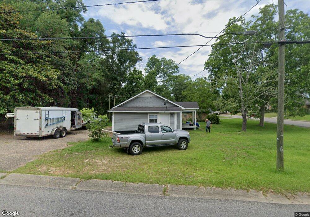
553 W Lee St Mobile, AL 36611
Estimated Value: $85,238 - $109,000
--
Bed
1
Bath
1,262
Sq Ft
$80/Sq Ft
Est. Value
About This Home
This home is located at 553 W Lee St, Mobile, AL 36611 and is currently estimated at $101,310, approximately $80 per square foot. 553 W Lee St is a home located in Mobile County with nearby schools including Chickasaw City Elementary School, Chickasaw City High School, and Prichard Preparatory School.
Ownership History
Date
Name
Owned For
Owner Type
Purchase Details
Closed on
Jul 20, 2017
Sold by
Robinson James R
Bought by
Sanderson William B and Sanderson Sherri D
Current Estimated Value
Purchase Details
Closed on
Nov 14, 2005
Sold by
Land Visions Inc
Bought by
Robinson James R
Home Financials for this Owner
Home Financials are based on the most recent Mortgage that was taken out on this home.
Original Mortgage
$54,400
Interest Rate
8.62%
Mortgage Type
Stand Alone First
Purchase Details
Closed on
Oct 3, 2003
Sold by
Brooks Donald R and Brooks Donald B
Bought by
Land Visions Inc
Purchase Details
Closed on
Mar 5, 2003
Sold by
Hartley Allie Mae
Bought by
Brooks Donald B
Create a Home Valuation Report for This Property
The Home Valuation Report is an in-depth analysis detailing your home's value as well as a comparison with similar homes in the area
Home Values in the Area
Average Home Value in this Area
Purchase History
| Date | Buyer | Sale Price | Title Company |
|---|---|---|---|
| Sanderson William B | $1,546 | None Available | |
| Robinson James R | -- | Slt | |
| Land Visions Inc | -- | -- | |
| Brooks Donald B | -- | -- |
Source: Public Records
Mortgage History
| Date | Status | Borrower | Loan Amount |
|---|---|---|---|
| Previous Owner | Robinson James R | $54,400 |
Source: Public Records
Tax History Compared to Growth
Tax History
| Year | Tax Paid | Tax Assessment Tax Assessment Total Assessment is a certain percentage of the fair market value that is determined by local assessors to be the total taxable value of land and additions on the property. | Land | Improvement |
|---|---|---|---|---|
| 2024 | $673 | $12,400 | $2,800 | $9,600 |
| 2023 | $636 | $11,880 | $2,800 | $9,080 |
| 2022 | $600 | $11,220 | $2,800 | $8,420 |
| 2021 | $600 | $11,220 | $2,800 | $8,420 |
| 2020 | $600 | $11,220 | $2,800 | $8,420 |
| 2019 | $591 | $11,040 | $2,880 | $8,160 |
| 2018 | $591 | $11,040 | $0 | $0 |
| 2017 | $585 | $11,040 | $0 | $0 |
| 2016 | $648 | $12,220 | $0 | $0 |
| 2013 | $703 | $13,000 | $0 | $0 |
Source: Public Records
Map
Nearby Homes
- 551 3rd Ave
- 0 Lee St W Unit 7515345
- 414 W Grant St
- 9 Elizabeth Ave
- 254 Fourth Ave
- 250 Fourth Ave
- 315 8th Ave
- 416 Iroquois St
- 419 Sutherland Cir
- 150 Thompson Blvd
- 253 9th Ave
- 110 N Thompson Ct
- 250 10th Ave
- 3142 W Turner Rd
- 318 Sutherland Dr
- 509 Sutherland Dr
- 3110 W Turner Rd
- 154 10th Ave
- 0 Dykes Rd Unit 7512446
- 0 Dykes Rd Unit 7512439