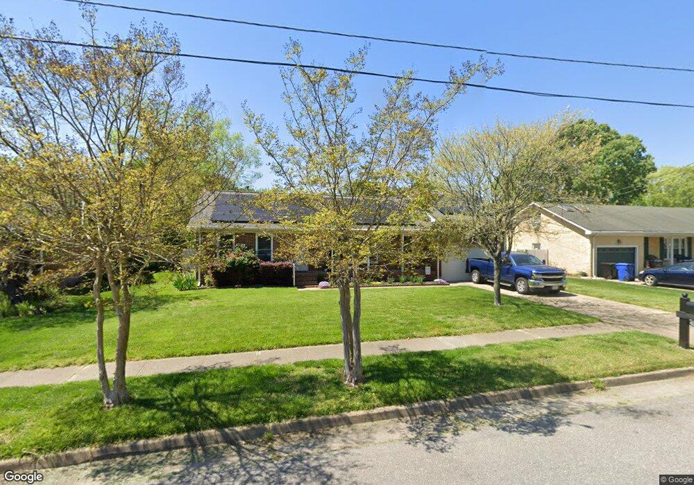
553 Woodstock Rd Virginia Beach, VA 23464
Estimated Value: $494,976 - $550,000
4
Beds
3
Baths
2,000
Sq Ft
$258/Sq Ft
Est. Value
About This Home
This home is located at 553 Woodstock Rd, Virginia Beach, VA 23464 and is currently estimated at $516,744, approximately $258 per square foot. 553 Woodstock Rd is a home located in Virginia Beach City with nearby schools including Woodstock Elementary School, Kempsville Middle School, and Kempsville High School.
Ownership History
Date
Name
Owned For
Owner Type
Purchase Details
Closed on
Aug 10, 2021
Sold by
Unterbrink Ian R and Unterbrink Maureen E
Bought by
Hunnewell Joseph and Hunnewell Luzzie Ann
Current Estimated Value
Home Financials for this Owner
Home Financials are based on the most recent Mortgage that was taken out on this home.
Original Mortgage
$414,400
Outstanding Balance
$376,818
Interest Rate
2.9%
Mortgage Type
VA
Estimated Equity
$139,926
Create a Home Valuation Report for This Property
The Home Valuation Report is an in-depth analysis detailing your home's value as well as a comparison with similar homes in the area
Home Values in the Area
Average Home Value in this Area
Purchase History
| Date | Buyer | Sale Price | Title Company |
|---|---|---|---|
| Hunnewell Joseph | $400,000 | Westcor Land Title Ins Co |
Source: Public Records
Mortgage History
| Date | Status | Borrower | Loan Amount |
|---|---|---|---|
| Open | Hunnewell Joseph | $414,400 |
Source: Public Records
Tax History Compared to Growth
Tax History
| Year | Tax Paid | Tax Assessment Tax Assessment Total Assessment is a certain percentage of the fair market value that is determined by local assessors to be the total taxable value of land and additions on the property. | Land | Improvement |
|---|---|---|---|---|
| 2025 | $4,029 | $419,400 | $150,000 | $269,400 |
| 2024 | $4,029 | $415,400 | $150,000 | $265,400 |
| 2023 | $3,949 | $398,900 | $140,000 | $258,900 |
| 2022 | $3,728 | $376,600 | $126,400 | $250,200 |
| 2021 | $2,938 | $296,800 | $94,500 | $202,300 |
| 2020 | $2,867 | $281,800 | $94,500 | $187,300 |
| 2019 | $2,821 | $272,100 | $94,500 | $177,600 |
| 2018 | $2,728 | $272,100 | $94,500 | $177,600 |
| 2017 | $2,646 | $263,900 | $94,500 | $169,400 |
| 2016 | $2,539 | $256,500 | $94,500 | $162,000 |
| 2015 | $2,377 | $240,100 | $94,500 | $145,600 |
| 2014 | $2,107 | $236,100 | $119,800 | $116,300 |
Source: Public Records
Map
Nearby Homes
- 568 Sterling Rd
- 540 Sterling Rd
- 5833 Sherman Ct
- 5805 Sherman Ct
- 5809 Sherman Ct
- 5817 Sherman Ct
- 5821 Sherman Ct
- 5825 Sherman Ct
- 5829 Sherman Ct
- 1017 Sunnyside Dr
- 952 Redwood Cir
- 764 Woodstock Rd
- 928 Redwood Cir
- 5721 Oak Terrace Dr
- 940 Westerly Trail
- 969 Sunnyside Dr
- 738 Driskill Ct
- 609 Avalon Ave
- 5708 Normandy Ave
- 808 Raymond Ct
- 557 Woodstock Rd
- 549 Woodstock Rd
- 552 Woodgrove Ct
- 548 Woodgrove Ct
- 561 Woodstock Rd
- 545 Woodstock Rd
- 556 Woodgrove Ct
- 544 Woodgrove Ct
- 544 Woodstock Rd
- 548 Woodstock Rd
- 563 Woodstock Rd
- 541 Woodstock Rd
- 540 Woodstock Rd
- 540 Woodgrove Ct
- 565 Woodstock Rd
- 552 Woodstock Rd
- 560 Woodgrove Ct
- 549 Woodgrove Ct
- 553 Woodgrove Ct
- 536 Woodstock Rd