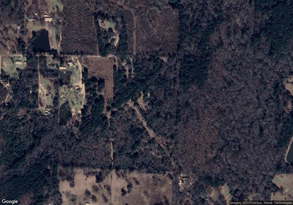
5530 Mcbride Rd Texarkana, AR 71854
Estimated Value: $78,000 - $284,000
--
Bed
2
Baths
1,540
Sq Ft
$94/Sq Ft
Est. Value
About This Home
This home is located at 5530 Mcbride Rd, Texarkana, AR 71854 and is currently estimated at $145,492, approximately $94 per square foot. 5530 Mcbride Rd is a home located in Miller County with nearby schools including Arkansas High School.
Ownership History
Date
Name
Owned For
Owner Type
Purchase Details
Closed on
Jul 31, 2025
Sold by
Commissioner Of State Lands
Bought by
Harrison & Company Inc and Harrison
Current Estimated Value
Purchase Details
Closed on
Jun 12, 2025
Sold by
Bohanon Jason and Hendrix Colby
Bought by
Bohanon Jason
Purchase Details
Closed on
May 3, 1989
Bought by
Aaron Thomas W and Aaron Dorothy
Purchase Details
Closed on
Apr 30, 1987
Bought by
Mccool Wesley Mark and Mccool Virginia
Purchase Details
Closed on
Apr 1, 1987
Bought by
Moore Daniel
Purchase Details
Closed on
Feb 1, 1987
Bought by
Liberty Eylau State Bank
Purchase Details
Closed on
Jan 1, 1985
Bought by
Simmons Fred L
Purchase Details
Closed on
Jul 2, 1982
Bought by
Paul Paul C and Paul E
Purchase Details
Closed on
Jul 1, 1982
Bought by
Paul Paul C and Paul E
Purchase Details
Closed on
Jul 1, 1977
Bought by
Paul Paul C and Paul E
Purchase Details
Closed on
Oct 13, 1975
Bought by
Paul Paul C and Paul E
Create a Home Valuation Report for This Property
The Home Valuation Report is an in-depth analysis detailing your home's value as well as a comparison with similar homes in the area
Home Values in the Area
Average Home Value in this Area
Purchase History
| Date | Buyer | Sale Price | Title Company |
|---|---|---|---|
| Harrison & Company Inc | -- | None Listed On Document | |
| Bohanon Jason | -- | None Listed On Document | |
| Aaron Thomas W | $10,000 | -- | |
| Mccool Wesley Mark | $2,000 | -- | |
| Moore Daniel | $2,000 | -- | |
| Liberty Eylau State Bank | -- | -- | |
| Simmons Fred L | $4,000 | -- | |
| Paul Paul C | -- | -- | |
| Paul Paul C | -- | -- | |
| Paul Paul C | -- | -- | |
| Paul Paul C | -- | -- |
Source: Public Records
Tax History Compared to Growth
Tax History
| Year | Tax Paid | Tax Assessment Tax Assessment Total Assessment is a certain percentage of the fair market value that is determined by local assessors to be the total taxable value of land and additions on the property. | Land | Improvement |
|---|---|---|---|---|
| 2024 | $591 | $10,290 | $3,200 | $7,090 |
| 2023 | $0 | $10,290 | $3,200 | $7,090 |
| 2022 | $0 | $10,290 | $3,200 | $7,090 |
| 2021 | $0 | $10,290 | $3,200 | $7,090 |
| 2020 | $0 | $10,290 | $3,200 | $7,090 |
| 2019 | $0 | $10,490 | $2,760 | $7,730 |
| 2018 | $0 | $10,490 | $2,760 | $7,730 |
| 2017 | $0 | $10,490 | $2,760 | $7,730 |
| 2016 | -- | $5,614 | $1,900 | $3,714 |
| 2015 | $10 | $5,614 | $1,900 | $3,714 |
| 2014 | $10 | $5,804 | $1,900 | $3,904 |
Source: Public Records
Map
Nearby Homes
- 26.46 AC Mcbride Rd
- 3214 Hastings Crossing Rd
- 0 E Moore Rd
- 2419 S Rondo Rd
- 3730 Genoa Rd
- 50 acres Arkansas 196
- 5 Stallion Dr
- 3625 East St
- 3417 East St
- 5312 Boyd Rd
- 526 Shell
- 776 Hargrove Rd
- 415 Meadowridge Cir
- 6 Country Club Ln Unit 6 Pine Grove
- 225 Marguerite Dr
- 702 Genoa Rd
- 5120 Country Rd
- 4120 Prairie Ln
- 4406 Magee Dr
- TBD Old Blackman Ferry Rd
- 4614 Mcbride Rd
- 4620 Mcbride Rd
- 4812 Mcbride Rd
- 4610 Mcbride Rd
- 5017 Rocky Creek Rd
- 4512 Mcbride Rd
- 5117 Rocky Creek Rd
- 4422 Mcbride Rd
- 4506 Mcbride Rd
- 1205 S Rondo Rd
- 4504 Old Orr Rd
- 0 Rocky Creek Rd
- 4412 Mcbride Rd
- 4416 Afton Ln
- 5214 Rocky Creek Rd
- 4618 E Moore Rd
- 4519 Old Orr Rd
- 5118 Rocky Creek Rd
- 923 S Rondo Rd
- 2500 Hastings Crossing Rd
