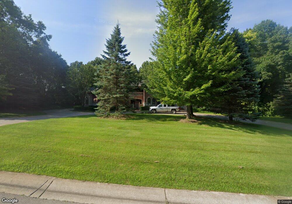
5531 Avington Pkwy Unit 11 Clarkston, MI 48348
Estimated Value: $1,054,025 - $1,739,000
--
Bed
7
Baths
5,084
Sq Ft
$265/Sq Ft
Est. Value
About This Home
This home is located at 5531 Avington Pkwy Unit 11, Clarkston, MI 48348 and is currently estimated at $1,349,008, approximately $265 per square foot. 5531 Avington Pkwy Unit 11 is a home located in Oakland County with nearby schools including Everest Academy.
Ownership History
Date
Name
Owned For
Owner Type
Purchase Details
Closed on
Mar 19, 2020
Sold by
Sitto Ola and Sitto Lizette
Bought by
The Ola Michael Sitto Agreement Of Trust
Current Estimated Value
Purchase Details
Closed on
May 23, 2019
Sold by
Sitto Ola and Sitto Lizette
Bought by
Sitto Ola and Sitto Lizette
Purchase Details
Closed on
Nov 21, 2016
Sold by
Lizette Sitto Trust
Bought by
Sitto Ola and Sitto Lizette
Purchase Details
Closed on
Feb 19, 2009
Sold by
Sitto Ola
Bought by
The Lizette Sitto Agreement Of Trust
Purchase Details
Closed on
Apr 15, 2004
Sold by
Clarkston Holdings Ltd
Bought by
Sitto Ola
Create a Home Valuation Report for This Property
The Home Valuation Report is an in-depth analysis detailing your home's value as well as a comparison with similar homes in the area
Home Values in the Area
Average Home Value in this Area
Purchase History
| Date | Buyer | Sale Price | Title Company |
|---|---|---|---|
| The Ola Michael Sitto Agreement Of Trust | -- | None Available | |
| Sitto Ola | -- | None Available | |
| Sitto Ola | -- | None Available | |
| The Lizette Sitto Agreement Of Trust | -- | None Available | |
| Sitto Ola | $175,000 | Philip R Seaver Title Co Inc |
Source: Public Records
Tax History Compared to Growth
Tax History
| Year | Tax Paid | Tax Assessment Tax Assessment Total Assessment is a certain percentage of the fair market value that is determined by local assessors to be the total taxable value of land and additions on the property. | Land | Improvement |
|---|---|---|---|---|
| 2024 | $9,607 | $552,900 | $67,500 | $485,400 |
| 2023 | $12,952 | $504,200 | $65,500 | $438,700 |
| 2022 | $12,952 | $479,900 | $65,500 | $414,400 |
| 2021 | $12,956 | $500,700 | $69,400 | $431,300 |
| 2020 | $8,386 | $470,600 | $69,400 | $401,200 |
| 2018 | $12,363 | $534,000 | $62,900 | $471,100 |
| 2015 | -- | $596,300 | $0 | $0 |
| 2014 | -- | $523,900 | $0 | $0 |
| 2011 | -- | $329,200 | $0 | $0 |
Source: Public Records
Map
Nearby Homes
- 8550 Pine Knob Rd
- 5226 Forest Valley Dr
- 0 Thendara Blvd Unit 20250006134
- 5010 Forest Valley Dr
- 5196 Greenview Dr
- 8828 Stonewall E
- 5105 Wah Ta Wah Dr
- LOT #36 Stonewall E
- 7827 Eames Ct
- 4995 Mohawk Ave
- 7871 Caberfae Trail
- 4910 Clarkston Rd
- 8646 Thendara Blvd
- 7831 Caberfae Trail
- 8840 Minne Wanna Rd
- 7811 Caberfae Trail
- 4950 Iroquois Blvd
- 8640 Lakeview Blvd
- 9550 Colgate Ave
- 4714 Monterey Ave
- 5525 Avington Pkwy
- Lot 12 Avington Pkwy
- Lot 6 Avington Ct
- 5554 Avington Pkwy
- 8203 Avington Ct Unit Bldg-Unit
- 8203 Avington Ct
- LOT 16 Boulderwood Ridge
- 5560 Avington Pkwy
- 0 Avington Ct
- 5464 Boulderwood Ridge Unit 14
- LOT 15 Boulderwood Ridge
- LOT 13 Boulder Wood Ridge
- 5566 Avington Pkwy Unit 3
- 8206 Avington Ct
- LOT 26 Boulderwood Ridge
- 5524 Avington Pkwy
- LOT 15 Boulerwood Ridge
- 5519 Avington Pkwy Unit 27
- 5572 Avington Pkwy Unit 2
- 0 Boulderwood Lot 26 Ridge Unit 216030626