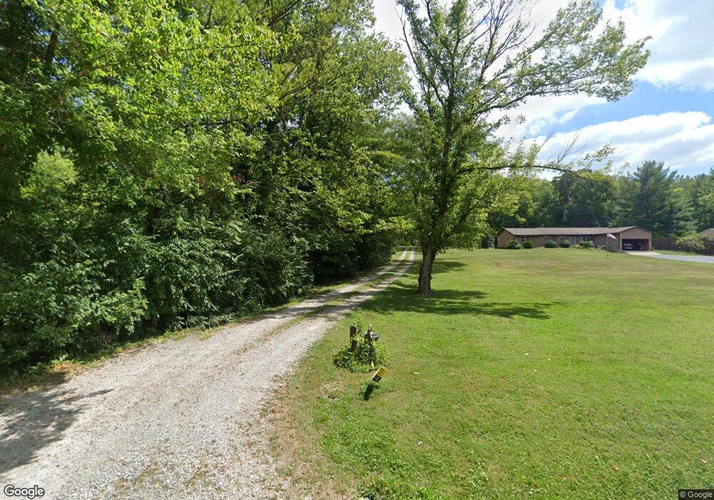
5532 Corwin Rd Waynesville, OH 45068
Wayne Township NeighborhoodEstimated Value: $486,555 - $629,000
5
Beds
3
Baths
1,686
Sq Ft
$324/Sq Ft
Est. Value
About This Home
This home is located at 5532 Corwin Rd, Waynesville, OH 45068 and is currently estimated at $546,639, approximately $324 per square foot. 5532 Corwin Rd is a home located in Warren County with nearby schools including Waynesville Elementary School, Waynesville Middle School, and Waynesville High School.
Ownership History
Date
Name
Owned For
Owner Type
Purchase Details
Closed on
Jul 17, 2018
Sold by
Conroy Kirt A and Conroy Lynn M
Bought by
Branham Scott and Branham Alexis
Current Estimated Value
Home Financials for this Owner
Home Financials are based on the most recent Mortgage that was taken out on this home.
Original Mortgage
$294,500
Outstanding Balance
$255,228
Interest Rate
4.5%
Mortgage Type
New Conventional
Estimated Equity
$291,411
Purchase Details
Closed on
Jun 29, 2007
Sold by
Mills Timothy P and Mills Rebecca A
Bought by
Conroy Kirt A and Conroy Lynn M
Create a Home Valuation Report for This Property
The Home Valuation Report is an in-depth analysis detailing your home's value as well as a comparison with similar homes in the area
Home Values in the Area
Average Home Value in this Area
Purchase History
| Date | Buyer | Sale Price | Title Company |
|---|---|---|---|
| Branham Scott | $310,000 | None Available | |
| Conroy Kirt A | $45,000 | Attorney |
Source: Public Records
Mortgage History
| Date | Status | Borrower | Loan Amount |
|---|---|---|---|
| Open | Branham Scott | $294,500 |
Source: Public Records
Tax History Compared to Growth
Tax History
| Year | Tax Paid | Tax Assessment Tax Assessment Total Assessment is a certain percentage of the fair market value that is determined by local assessors to be the total taxable value of land and additions on the property. | Land | Improvement |
|---|---|---|---|---|
| 2024 | $5,272 | $131,970 | $31,810 | $100,160 |
| 2023 | $4,899 | $107,653 | $18,151 | $89,502 |
| 2022 | $4,790 | $107,653 | $18,151 | $89,502 |
| 2021 | $4,594 | $107,653 | $18,151 | $89,502 |
| 2020 | $4,138 | $83,601 | $14,756 | $68,845 |
| 2019 | $4,140 | $83,601 | $14,756 | $68,845 |
| 2018 | $4,141 | $83,601 | $14,756 | $68,845 |
| 2017 | $4,005 | $75,460 | $13,969 | $61,492 |
| 2016 | $3,737 | $75,460 | $13,969 | $61,492 |
| 2015 | $3,743 | $75,460 | $13,969 | $61,492 |
| 2014 | $3,604 | $68,920 | $13,020 | $55,900 |
| 2013 | $3,596 | $75,990 | $14,050 | $61,940 |
Source: Public Records
Map
Nearby Homes
- 5669 O Neall Rd
- Tract 2 O'Neall Rd
- Tract 3 O'Neall Rd
- 4752 E Lower Springboro Rd
- 401 Wilkerson Ln
- 20 Country Lakes Blvd
- 10 Country Lakes Blvd
- 6363 Trillium Dr
- 0 Ohio 73 Unit 944080
- 0 Trillium Dr Unit 943456
- 196 S 3rd St
- 4 Corwin Rd
- 155 S Main St
- 1 Cumberland Ct
- 127 New Burlington Rd
- 460 Miami St
- 53 S 4th St
- 437 N Main St
- 350 Somerset Ln
- 363 Victoria Place
- 5506 Corwin Rd
- 5539 Fairfield Dr
- 5480 Corwin Rd
- 5560 Corwin Rd
- 5555 Fairfield Dr
- 5572 Corwin Rd
- 5556 Fairfield Dr
- 5442 Corwin Rd
- 5536 Corwin Rd
- 5588 Corwin Rd
- 5573 Fairfield Dr
- 5574 Fairfield Dr
- 5540 Fairfield Dr
- 5606 Corwin Rd
- 5587 Fairfield Dr
- 5592 Fairfield Dr
- 5416 Corwin Rd
- 5622 Corwin Rd
- 5607 Fairfield Dr
- 5612 Fairfield Dr