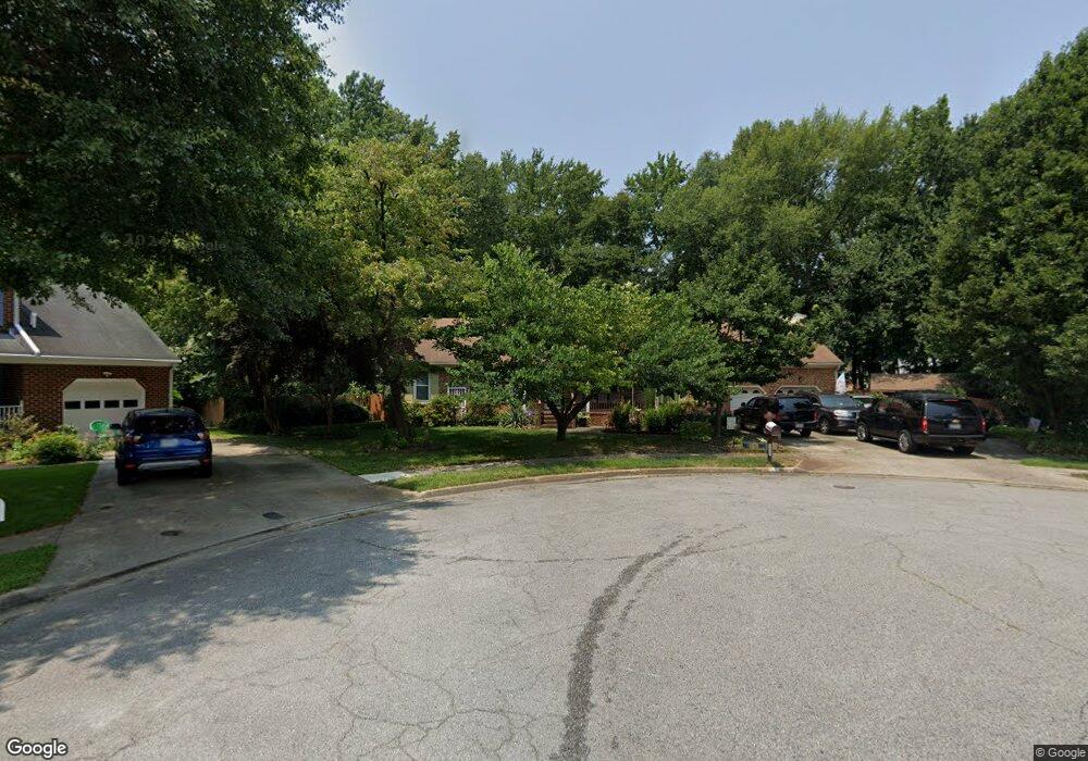
5532 Greenbrook Dr Portsmouth, VA 23703
Churchland NeighborhoodEstimated Value: $425,000 - $493,586
5
Beds
2
Baths
3,099
Sq Ft
$149/Sq Ft
Est. Value
About This Home
This home is located at 5532 Greenbrook Dr, Portsmouth, VA 23703 and is currently estimated at $461,147, approximately $148 per square foot. 5532 Greenbrook Dr is a home located in Portsmouth City with nearby schools including Churchland Primary/Intermediate School, Churchland Middle School, and Churchland High School.
Ownership History
Date
Name
Owned For
Owner Type
Purchase Details
Closed on
Feb 20, 2015
Sold by
Blanford Ritchie D
Bought by
Johnson Kevin L
Current Estimated Value
Home Financials for this Owner
Home Financials are based on the most recent Mortgage that was taken out on this home.
Original Mortgage
$275,000
Outstanding Balance
$209,858
Interest Rate
3.74%
Mortgage Type
VA
Estimated Equity
$251,289
Create a Home Valuation Report for This Property
The Home Valuation Report is an in-depth analysis detailing your home's value as well as a comparison with similar homes in the area
Home Values in the Area
Average Home Value in this Area
Purchase History
| Date | Buyer | Sale Price | Title Company |
|---|---|---|---|
| Johnson Kevin L | $275,000 | -- |
Source: Public Records
Mortgage History
| Date | Status | Borrower | Loan Amount |
|---|---|---|---|
| Open | Johnson Kevin L | $275,000 |
Source: Public Records
Tax History Compared to Growth
Tax History
| Year | Tax Paid | Tax Assessment Tax Assessment Total Assessment is a certain percentage of the fair market value that is determined by local assessors to be the total taxable value of land and additions on the property. | Land | Improvement |
|---|---|---|---|---|
| 2025 | $5,787 | $468,340 | $112,580 | $355,760 |
| 2024 | $5,787 | $456,560 | $112,580 | $343,980 |
| 2023 | $5,353 | $428,270 | $112,580 | $315,690 |
| 2022 | $4,925 | $378,860 | $93,810 | $285,050 |
| 2021 | $4,536 | $348,920 | $75,650 | $273,270 |
| 2020 | $4,428 | $340,600 | $72,050 | $268,550 |
| 2019 | $4,275 | $328,820 | $72,050 | $256,770 |
| 2018 | $4,275 | $328,820 | $72,050 | $256,770 |
| 2017 | $4,275 | $328,820 | $72,050 | $256,770 |
| 2016 | $4,275 | $328,820 | $72,050 | $256,770 |
| 2015 | $4,268 | $328,280 | $72,050 | $256,230 |
| 2014 | $4,169 | $328,280 | $72,050 | $256,230 |
Source: Public Records
Map
Nearby Homes
- 3433 Willow Breeze Dr
- 5807 Dunkin St
- 4100 Mayfair Way
- 5806 Fawkes St
- 3860 Sugar Creek Cir
- 3616 Bowden St
- 3866 Augustine Cir
- 4200 Quince Rd
- 3660B Towne Point Rd Unit A
- 4028 Swannanoa Dr
- 6015 Arthur Ave
- 3604 Lilac Dr
- 5911 Dunkirk St
- 3818 Peach Orchard Cir
- 3877 Peachtree Ln W
- 4224 Burnham Dr
- 6002 Campbell St
- 3604 Pierce St
- 3817 Harvest Ct
- 17 Shoal Ct
- 5533 Greenbrook Dr
- 3 Misty Ct
- 5528 Greenbrook Dr
- 5 Misty Ct
- 5529 Greenbrook Dr
- 3437 Willow Breeze Dr
- 5524 Greenbrook Dr
- 8 Hardwood Ct
- 1 Misty Ct
- 5525 Greenbrook Dr
- 6 Misty Ct
- 3441 Willow Breeze Dr
- 6 Hardwood Ct
- 5520 Greenbrook Dr
- 5521 Greenbrook Dr
- 10 Hardwood Ct
- 3501 Willow Breeze Dr
- 4 Misty Ct
- 4 Hardwood Ct
- 3425 Willow Breeze Dr