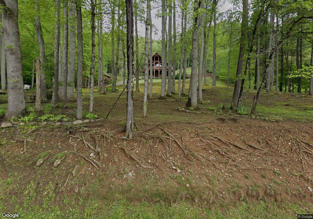
5532 S Us 19e Hwy Newland, NC 28657
Estimated Value: $378,307 - $414,000
3
Beds
2
Baths
3,828
Sq Ft
$102/Sq Ft
Est. Value
About This Home
This home is located at 5532 S Us 19e Hwy, Newland, NC 28657 and is currently estimated at $391,827, approximately $102 per square foot. 5532 S Us 19e Hwy is a home with nearby schools including Riverside Elementary School and Cranberry Middle School.
Ownership History
Date
Name
Owned For
Owner Type
Purchase Details
Closed on
Feb 25, 2021
Sold by
Buchanan Donnie Paul and Buchanan Derek
Bought by
Buchanan Derek S and Buchanan Erin Johnson
Current Estimated Value
Purchase Details
Closed on
Dec 16, 2004
Sold by
Milliron Julia B and Milliron Mark D
Bought by
Buchanan Donnie Paul and Buchanan Derek
Home Financials for this Owner
Home Financials are based on the most recent Mortgage that was taken out on this home.
Original Mortgage
$100,786
Interest Rate
5.66%
Mortgage Type
Purchase Money Mortgage
Create a Home Valuation Report for This Property
The Home Valuation Report is an in-depth analysis detailing your home's value as well as a comparison with similar homes in the area
Home Values in the Area
Average Home Value in this Area
Purchase History
| Date | Buyer | Sale Price | Title Company |
|---|---|---|---|
| Buchanan Derek S | $13,000 | None Available | |
| Buchanan Donnie Paul | -- | None Available |
Source: Public Records
Mortgage History
| Date | Status | Borrower | Loan Amount |
|---|---|---|---|
| Previous Owner | Buchanan Donnie Paul | $100,786 |
Source: Public Records
Tax History Compared to Growth
Tax History
| Year | Tax Paid | Tax Assessment Tax Assessment Total Assessment is a certain percentage of the fair market value that is determined by local assessors to be the total taxable value of land and additions on the property. | Land | Improvement |
|---|---|---|---|---|
| 2024 | $1,311 | $327,700 | $34,000 | $293,700 |
| 2023 | $1,311 | $327,700 | $34,000 | $293,700 |
| 2022 | $0 | $327,700 | $34,000 | $293,700 |
| 2021 | $1,436 | $261,000 | $20,100 | $240,900 |
| 2020 | $1,436 | $261,000 | $20,100 | $240,900 |
| 2019 | $1,436 | $261,000 | $20,100 | $240,900 |
| 2018 | $1,118 | $203,300 | $20,100 | $183,200 |
| 2017 | $1,181 | $214,800 | $0 | $0 |
| 2016 | $919 | $205,400 | $0 | $0 |
| 2015 | $792 | $177,100 | $20,100 | $157,000 |
| 2012 | -- | $224,700 | $21,400 | $203,300 |
Source: Public Records
Map
Nearby Homes
- TBD Highway 19 E
- 83 Kimberly Ln
- 2647 S Us Highway 19e
- TBD Doublehead Mountain Rd
- 82+/- Acres Doublehead Mountain Rd
- 276 Wes Jones
- Lot 10 Mountain Laurel Pkwy
- 1264 Mountain Laurel Pkwy Unit Lots 8,9
- 1260 Mountain Laurel Pkwy Unit Lot 8
- Lots 8, 9 Mountain Laurel Pkwy
- Lot 8 Mountain Laurel Pkwy
- TBD Elk Mountain Loop
- 796 Buck Hill Rd
- 0 Clear Creek Dr
- 692 Buck Hill Rd
- 0 Clear Creek Dr Unit 15 251761
- 0 Clear Creek Dr Unit 12 251762
- 0 Clear Creek Dr Unit 15 CAR4178231
- 0 Clear Creek Dr Unit 12 CAR4178237
- 0 Clear Creek Dr Unit 17 CAR4106331
- 125 Rocky Face Ln
- 1742 Highway 19 E
- 999999 Highway 19 E
- 375 Rocky Ln
- 35 Rocky Face Ln
- 5631 S Us 19e Hwy
- 5629 S Us 19e Hwy
- 5642 S Us 19e Hwy
- 5315 S Us 19e Hwy
- 5735 S Us 19e Hwy
- 120 Henson Creek Rd
- 5748 S Us 19e Hwy
- 5267 S Us 19e Hwy
- 14 Tatertown Rd
- 5774 S Us 19e Hwy
- 205 Henson Creek Rd
- 91 Orville Stafford Ln
- 79 Orville Stafford Ln
- 27 Orville Stafford Ln
- 67 Tatertown Rd
