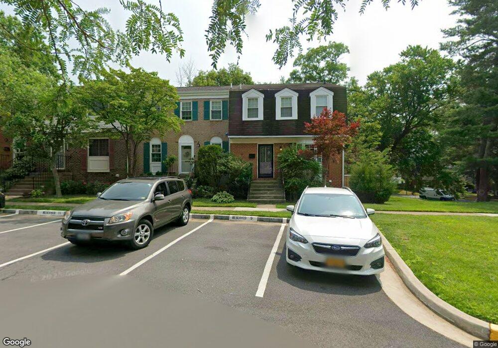
5534 Paxford Ct Fairfax, VA 22032
Estimated Value: $563,000 - $613,000
3
Beds
4
Baths
1,452
Sq Ft
$410/Sq Ft
Est. Value
About This Home
This home is located at 5534 Paxford Ct, Fairfax, VA 22032 and is currently estimated at $595,907, approximately $410 per square foot. 5534 Paxford Ct is a home located in Fairfax County with nearby schools including Laurel Ridge Elementary School, James W Robinson, Jr. Secondary School, and GW Community School.
Ownership History
Date
Name
Owned For
Owner Type
Purchase Details
Closed on
Apr 5, 2022
Sold by
Souders Jennifer A and Souders Gregory S
Bought by
Spangler Jayson and Spangler Nancy
Current Estimated Value
Home Financials for this Owner
Home Financials are based on the most recent Mortgage that was taken out on this home.
Original Mortgage
$433,485
Interest Rate
3.89%
Mortgage Type
VA
Purchase Details
Closed on
Jan 6, 1994
Sold by
Kowalski M
Bought by
Souders Jeanne G
Home Financials for this Owner
Home Financials are based on the most recent Mortgage that was taken out on this home.
Original Mortgage
$129,900
Interest Rate
7.23%
Create a Home Valuation Report for This Property
The Home Valuation Report is an in-depth analysis detailing your home's value as well as a comparison with similar homes in the area
Home Values in the Area
Average Home Value in this Area
Purchase History
| Date | Buyer | Sale Price | Title Company |
|---|---|---|---|
| Spangler Jayson | $475,000 | First American Title | |
| Souders Jeanne G | $162,400 | -- |
Source: Public Records
Mortgage History
| Date | Status | Borrower | Loan Amount |
|---|---|---|---|
| Closed | Spangler Jayson | $433,485 | |
| Closed | Spangler Jayson | $433,485 | |
| Previous Owner | Souders Jeanne G | $129,900 |
Source: Public Records
Tax History Compared to Growth
Tax History
| Year | Tax Paid | Tax Assessment Tax Assessment Total Assessment is a certain percentage of the fair market value that is determined by local assessors to be the total taxable value of land and additions on the property. | Land | Improvement |
|---|---|---|---|---|
| 2025 | $6,170 | $607,920 | $205,000 | $402,920 |
| 2024 | $6,170 | $532,600 | $180,000 | $352,600 |
| 2023 | $5,805 | $514,360 | $175,000 | $339,360 |
| 2022 | $5,745 | $502,440 | $165,000 | $337,440 |
| 2021 | $5,502 | $468,830 | $145,000 | $323,830 |
| 2020 | $5,119 | $432,490 | $140,000 | $292,490 |
| 2019 | $4,997 | $422,190 | $135,000 | $287,190 |
| 2018 | $4,618 | $401,570 | $125,000 | $276,570 |
| 2017 | $4,513 | $388,730 | $120,000 | $268,730 |
| 2016 | $4,211 | $363,490 | $105,000 | $258,490 |
| 2015 | $4,264 | $382,100 | $105,000 | $277,100 |
| 2014 | $3,991 | $358,440 | $92,000 | $266,440 |
Source: Public Records
Map
Nearby Homes
- 5504 Winford Ct
- 5508 La Cross Ct
- 5431 Crows Nest Ct
- 9909 Lakepointe Dr
- 5515 Cheshire Meadows Way
- 5361 Gainsborough Dr
- 5453 Cheshire Meadows Way
- 5307 Richardson Dr
- 5313 Stonington Dr
- 9769 High Water Ct
- 10388 Hampshire Green Ave
- 10116 Dundalk St
- 5377 Laura Belle Ln
- 10330 Luria Commons Ct Unit 1B
- 5838 High Bluff Ct
- 12210 Wye Oak Commons Cir
- 5207 Stonington Dr
- 9710 Ashbourn Dr
- 5947 New England Woods Dr
- 10434 Calumet Grove Dr
- 5532 Paxford Ct
- 5530 Paxford Ct
- 5528 Paxford Ct
- 5536 Paxford Ct
- 5538 Paxford Ct
- 5526 Paxford Ct
- 5540 Paxford Ct
- 5531 Starboard Ct
- 5524 Paxford Ct
- 5542 Paxford Ct
- 5533 Starboard Ct
- 5522 Paxford Ct
- 5544 Paxford Ct
- 5527 Starboard Ct
- 5535 Starboard Ct
- 5520 Paxford Ct
- 5546 Paxford Ct
- 5525 Starboard Ct
- 5537 Starboard Ct