5535 Grove Point Rd Unit 1 Alpharetta, GA 30022
Medlock Bridge NeighborhoodEstimated Value: $786,972 - $888,000
5
Beds
4
Baths
2,616
Sq Ft
$325/Sq Ft
Est. Value
About This Home
This home is located at 5535 Grove Point Rd Unit 1, Alpharetta, GA 30022 and is currently estimated at $849,243, approximately $324 per square foot. 5535 Grove Point Rd Unit 1 is a home located in Fulton County with nearby schools including Medlock Bridge Elementary School, Autrey Mill Middle School, and Johns Creek High School.
Ownership History
Date
Name
Owned For
Owner Type
Purchase Details
Closed on
Aug 22, 2003
Sold by
Mcdaniel Charles P and Mcdaniel Celmira T
Bought by
Williams Rita S and Williams Anthony
Current Estimated Value
Home Financials for this Owner
Home Financials are based on the most recent Mortgage that was taken out on this home.
Original Mortgage
$288,000
Interest Rate
6%
Mortgage Type
New Conventional
Purchase Details
Closed on
Jun 24, 1999
Sold by
Burdick Chester E and Burdick Marilyn E
Bought by
Mcdaniel Charles P and Mcdaniel Celmira T
Home Financials for this Owner
Home Financials are based on the most recent Mortgage that was taken out on this home.
Original Mortgage
$261,000
Interest Rate
7.27%
Mortgage Type
New Conventional
Create a Home Valuation Report for This Property
The Home Valuation Report is an in-depth analysis detailing your home's value as well as a comparison with similar homes in the area
Home Values in the Area
Average Home Value in this Area
Purchase History
| Date | Buyer | Sale Price | Title Company |
|---|---|---|---|
| Williams Rita S | $360,000 | -- | |
| Mcdaniel Charles P | $290,000 | -- |
Source: Public Records
Mortgage History
| Date | Status | Borrower | Loan Amount |
|---|---|---|---|
| Previous Owner | Williams Rita S | $288,000 | |
| Previous Owner | Mcdaniel Charles P | $261,000 |
Source: Public Records
Tax History Compared to Growth
Tax History
| Year | Tax Paid | Tax Assessment Tax Assessment Total Assessment is a certain percentage of the fair market value that is determined by local assessors to be the total taxable value of land and additions on the property. | Land | Improvement |
|---|---|---|---|---|
| 2025 | $4,738 | $303,640 | $71,360 | $232,280 |
| 2023 | $7,482 | $265,080 | $63,520 | $201,560 |
| 2022 | $4,680 | $205,640 | $42,760 | $162,880 |
| 2021 | $4,884 | $195,480 | $37,920 | $157,560 |
| 2020 | $4,923 | $194,960 | $41,320 | $153,640 |
| 2019 | $591 | $191,520 | $40,600 | $150,920 |
| 2018 | $5,418 | $187,040 | $39,640 | $147,400 |
| 2017 | $4,825 | $153,920 | $34,960 | $118,960 |
| 2016 | $4,618 | $152,640 | $34,960 | $117,680 |
| 2015 | $4,668 | $152,640 | $34,960 | $117,680 |
| 2014 | $4,798 | $152,640 | $34,960 | $117,680 |
Source: Public Records
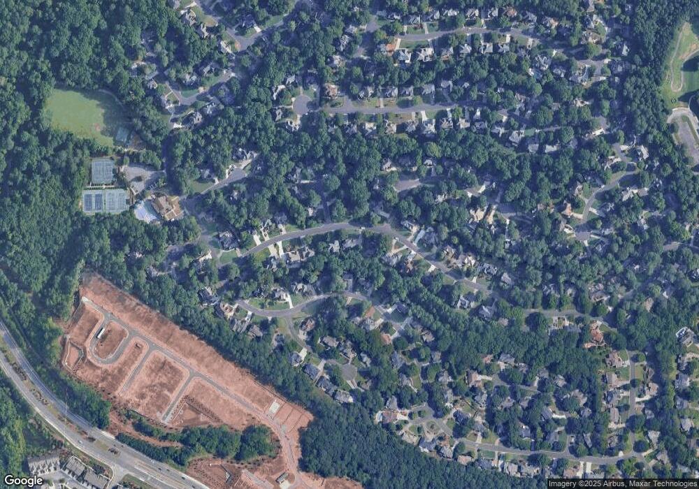
Map
Nearby Homes
- 1003 Crown Oak St Unit 43
- 1005 Crown Oak St Unit 44
- 1017 Crown Oak St Unit 50
- 1007 Crown Oak St Unit 45
- 1011 Crown Oak St Unit 47
- 1019 Crown Oak St Unit 51
- 510 Winston Croft Cir Unit 56
- 149 Wards Crossing Way Unit 10
- 149 Wards Crossing Way
- 153 Wards Crossing Way Unit 8
- 153 Wards Crossing Way
- 504 Winston Croft Cir Unit 54
- The Ellington Plan at Ward's Crossing
- The Jacobsen I Plan at Ward's Crossing
- The Jacobsen II Plan at Ward's Crossing
- The Benton III Plan at Ward's Crossing
- 608 Goldsmith Ct Unit 113
- 200 Wheatland Rd
- 606 Goldsmith Ct Unit 114
- 602 Goldsmith Ct Unit 116
- 5545 Grove Point Rd Unit 1
- 5525 Grove Point Rd
- 10045 Groomsbridge Rd
- 10035 Groomsbridge Rd Unit 2
- 205 Chiswick Close
- 5555 Grove Point Rd
- 10055 Groomsbridge Rd Unit 2
- 130 Chiswick Cir Unit 42
- 200 Coles Hill Ct
- 5515 Grove Point Rd
- 200 Chiswick Close
- 275 Chiswick Cir Unit 34
- 10025 Groomsbridge Rd
- 285 Chiswick Cir Unit 35
- 5560 Grove Point Rd
- 5565 Grove Point Rd Unit 1
- 215 Chiswick Close
- 5505 Grove Point Rd
- 10065 Groomsbridge Rd
- 210 Coles Hill Ct Unit 1