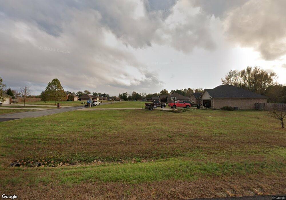
5535 Highway 321 E Austin, AR 72007
Estimated Value: $298,723 - $314,000
Studio
2
Baths
1,746
Sq Ft
$177/Sq Ft
Est. Value
About This Home
This home is located at 5535 Highway 321 E, Austin, AR 72007 and is currently estimated at $308,931, approximately $176 per square foot. 5535 Highway 321 E is a home located in Lonoke County with nearby schools including Stagecoach Elementary School, Cabot Junior High South, and Cabot Middle School South.
Ownership History
Date
Name
Owned For
Owner Type
Purchase Details
Closed on
Sep 30, 2020
Sold by
Holloway Jeremy D and Holloway Traci S
Bought by
Lott Jacob and Lott Destiny
Current Estimated Value
Home Financials for this Owner
Home Financials are based on the most recent Mortgage that was taken out on this home.
Original Mortgage
$223,870
Outstanding Balance
$198,218
Interest Rate
2.9%
Mortgage Type
FHA
Estimated Equity
$110,713
Purchase Details
Closed on
Apr 16, 2001
Bought by
Holloway and Holloway Wf
Purchase Details
Closed on
Sep 22, 1999
Bought by
Hankins and Hankins Wf
Purchase Details
Closed on
Apr 27, 1999
Bought by
Fontenot & Wf Another Ac
Purchase Details
Closed on
Feb 17, 1998
Bought by
Fontenot and Wf 1Ac
Create a Home Valuation Report for This Property
The Home Valuation Report is an in-depth analysis detailing your home's value as well as a comparison with similar homes in the area
Purchase History
| Date | Buyer | Sale Price | Title Company |
|---|---|---|---|
| Lott Jacob | $228,000 | Waco Title Company Cabot | |
| Loft Jacob | $228,000 | Lenders Title Company | |
| Holloway | $137,000 | -- | |
| Holloway | $137,000 | -- | |
| Hankins | $17,000 | -- | |
| Fontenot & Wf Another Ac | -- | -- | |
| Fontenot | $15,000 | -- |
Source: Public Records
Mortgage History
| Date | Status | Borrower | Loan Amount |
|---|---|---|---|
| Open | Loft Jacob | $223,870 | |
| Closed | Loft Jacob | $223,870 |
Source: Public Records
Tax History
| Year | Tax Paid | Tax Assessment Tax Assessment Total Assessment is a certain percentage of the fair market value that is determined by local assessors to be the total taxable value of land and additions on the property. | Land | Improvement |
|---|---|---|---|---|
| 2025 | $1,301 | $36,620 | $2,600 | $34,020 |
| 2024 | $1,301 | $36,620 | $2,600 | $34,020 |
| 2023 | $1,301 | $36,620 | $2,600 | $34,020 |
| 2022 | $1,351 | $36,620 | $2,600 | $34,020 |
| 2021 | $1,351 | $36,620 | $2,600 | $34,020 |
| 2020 | $1,176 | $32,820 | $2,600 | $30,220 |
| 2019 | $1,176 | $32,820 | $2,600 | $30,220 |
| 2018 | $1,201 | $32,820 | $2,600 | $30,220 |
| 2017 | $1,392 | $32,820 | $2,600 | $30,220 |
| 2016 | $1,201 | $32,820 | $2,600 | $30,220 |
| 2015 | $1,173 | $32,190 | $2,600 | $29,590 |
| 2014 | $1,173 | $32,190 | $2,600 | $29,590 |
Source: Public Records
Map
Nearby Homes
- 160 Oak Grove Rd
- 250 Saddle Brook Cove
- 152 Whitetail Ridge Rd
- 164 Whitetail Ridge Rd
- 236 Bear Dr
- 344 Mcfadden Rd
- 6622 Hwy
- 234 Candy Ln
- 1443 Oak Grove Rd
- 635 S Oak Grove Rd
- 215 & 225 Lemay Loop
- 288 Woodlawn Rd
- 10340 Highway 31 N
- 882 Patty Rd
- 373 Heather Loop
- 10340 Hwy 31 N
- 102 Bethlehem Rd
- 182 Harvest Ln
- 490 Bobwhite Hollow
- 10040 Highway 31 N
- 5535 Highway 321 E Unit 61 Oak Grove Rd
- 5535 Highway 321 E
- 5535 Highway 321 E Unit 61 Oak Grove Rd
- 61 Oak Grove Rd
- 00 Oak Grove Rd
- 44 Oak Grove Rd
- 5433 E Hwy 321
- 5433 Highway 321 E
- 55 Heffner Rd
- 5415 Highway 321 E
- 5415 Highway 321 E
- 5662 Highway 321 E
- 175 Oak Grove Rd
- 162 Oak Grove Rd
- 125 Heffner Rd
- 5355 Highway 321 E
- 5355 Highway 321 E
- 211 Oak Grove Rd
- 155 Heffner Rd
- 235 Oak Grove Rd
Your Personal Tour Guide
Ask me questions while you tour the home.