5535 Rinker Cir Doylestown, PA 18902
Plumstead NeighborhoodEstimated Value: $345,000 - $354,779
2
Beds
2
Baths
1,260
Sq Ft
$277/Sq Ft
Est. Value
About This Home
This home is located at 5535 Rinker Cir, Doylestown, PA 18902 and is currently estimated at $349,445, approximately $277 per square foot. 5535 Rinker Cir is a home located in Bucks County with nearby schools including Groveland Elementary School, Tohickon Middle School, and Central Bucks High School-West.
Ownership History
Date
Name
Owned For
Owner Type
Purchase Details
Closed on
Dec 17, 2018
Sold by
Nonnamaker Phyllis E
Bought by
Wakefield Daniel and Wakefield Julia
Current Estimated Value
Home Financials for this Owner
Home Financials are based on the most recent Mortgage that was taken out on this home.
Original Mortgage
$150,500
Outstanding Balance
$96,122
Interest Rate
4.9%
Mortgage Type
New Conventional
Estimated Equity
$253,323
Purchase Details
Closed on
Jun 25, 1997
Sold by
Patriots Ridge Corp
Bought by
Nonnamaker Phyllis E
Create a Home Valuation Report for This Property
The Home Valuation Report is an in-depth analysis detailing your home's value as well as a comparison with similar homes in the area
Home Values in the Area
Average Home Value in this Area
Purchase History
| Date | Buyer | Sale Price | Title Company |
|---|---|---|---|
| Wakefield Daniel | $215,000 | None Available | |
| Nonnamaker Phyllis E | -- | -- |
Source: Public Records
Mortgage History
| Date | Status | Borrower | Loan Amount |
|---|---|---|---|
| Open | Wakefield Daniel | $150,500 |
Source: Public Records
Tax History Compared to Growth
Tax History
| Year | Tax Paid | Tax Assessment Tax Assessment Total Assessment is a certain percentage of the fair market value that is determined by local assessors to be the total taxable value of land and additions on the property. | Land | Improvement |
|---|---|---|---|---|
| 2025 | $3,795 | $21,840 | -- | $21,840 |
| 2024 | $3,795 | $21,840 | $0 | $21,840 |
| 2023 | $3,674 | $21,840 | $0 | $21,840 |
| 2022 | $3,633 | $21,840 | $0 | $21,840 |
| 2021 | $3,592 | $21,840 | $0 | $21,840 |
| 2020 | $3,592 | $21,840 | $0 | $21,840 |
| 2019 | $3,571 | $21,840 | $0 | $21,840 |
| 2018 | $3,571 | $21,840 | $0 | $21,840 |
| 2017 | $3,521 | $21,840 | $0 | $21,840 |
| 2016 | $3,521 | $21,840 | $0 | $21,840 |
| 2015 | -- | $21,840 | $0 | $21,840 |
| 2014 | -- | $21,840 | $0 | $21,840 |
Source: Public Records
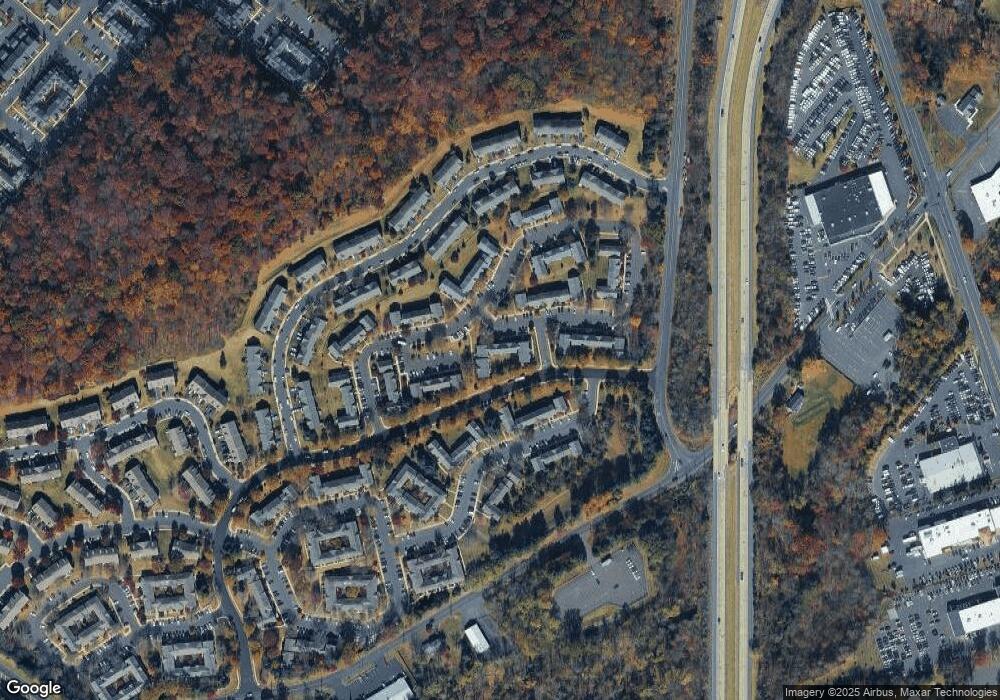
Map
Nearby Homes
- 3765 William Daves Rd
- 3723 William Daves Rd
- 4748 Bishop Cir
- 3838 Jacob Stout Rd
- 3711 Jacob Stout Rd Unit 5
- 3600 Jacob Stout Rd Unit 3
- 114 Blackfriars Cir
- 100 Bishops Gate Ln Unit 67
- 194 Victoria Ct Unit 143
- 301 Windy Run Rd
- 3923 Ferry Rd
- 90 Chapman Ave
- 4263 Kleinot Dr
- 4317 Kleinot Dr
- 4464 Kleinot Dr
- 4330 Kleinot Dr
- 4246 Kleinot Dr
- 4306 Kleinot Dr
- 4298 Kleinot Dr
- 3867 Charter Club Dr
- 5535 Rinker Cir Unit 360
- 5537 Rinker Cir Unit 361
- 5533 Rinker Cir
- 5539 Rinker Cir Unit 362
- 5541 Rinker Cir Unit 363
- 5543 Rinker Cir Unit 364
- 5529 Rinker Cir Unit 357
- 5527 Rinker Cir Unit 356
- 5545 Rinker Cir Unit 365
- 5525 Rinker Cir Unit 355
- 5547 Rinker Cir Unit 366
- 5428 Simpson Cir Unit 273
- 5430 Simpson Cir Unit 274
- 5540 Rinker Cir Unit 342
- 5538 Rinker Cir
- 5065 Rebecca Fell Dr Unit 200
- 5426 Simpson Cir Unit 272
- 5536 Rinker Cir Unit 340
- 5521 Rinker Cir Unit 353
- 5523 Rinker Cir Unit 354