5536 Jessup Rd Cincinnati, OH 45247
White Oak West NeighborhoodEstimated Value: $457,000 - $731,000
3
Beds
4
Baths
3,403
Sq Ft
$180/Sq Ft
Est. Value
About This Home
This home is located at 5536 Jessup Rd, Cincinnati, OH 45247 and is currently estimated at $612,612, approximately $180 per square foot. 5536 Jessup Rd is a home located in Hamilton County with nearby schools including Monfort Heights Elementary School, White Oak Middle School, and Colerain High School.
Ownership History
Date
Name
Owned For
Owner Type
Purchase Details
Closed on
Dec 3, 2019
Sold by
Vonderbrink Judith A
Bought by
Vonderbrink Judith A and Judith A Vonderbrink Trust
Current Estimated Value
Create a Home Valuation Report for This Property
The Home Valuation Report is an in-depth analysis detailing your home's value as well as a comparison with similar homes in the area
Home Values in the Area
Average Home Value in this Area
Purchase History
| Date | Buyer | Sale Price | Title Company |
|---|---|---|---|
| Vonderbrink Judith A | -- | None Available |
Source: Public Records
Tax History
| Year | Tax Paid | Tax Assessment Tax Assessment Total Assessment is a certain percentage of the fair market value that is determined by local assessors to be the total taxable value of land and additions on the property. | Land | Improvement |
|---|---|---|---|---|
| 2025 | $11,685 | $210,672 | $23,590 | $187,082 |
| 2023 | $11,563 | $210,672 | $23,590 | $187,082 |
| 2022 | $10,429 | $155,660 | $24,770 | $130,890 |
| 2021 | $9,759 | $155,660 | $24,770 | $130,890 |
| 2020 | $9,392 | $155,660 | $24,770 | $130,890 |
| 2019 | $9,873 | $148,246 | $23,590 | $124,656 |
| 2018 | $8,792 | $148,246 | $23,590 | $124,656 |
| 2017 | $8,310 | $148,246 | $23,590 | $124,656 |
| 2016 | $8,025 | $140,949 | $23,356 | $117,593 |
| 2015 | $8,096 | $140,949 | $23,356 | $117,593 |
| 2014 | $8,110 | $140,949 | $23,356 | $117,593 |
| 2013 | $7,660 | $142,370 | $23,590 | $118,780 |
Source: Public Records
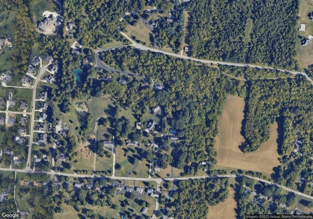
Map
Nearby Homes
- 5080 Jessup Rd
- 4994 Shadow Hawk Dr
- 6670 Gaines Rd
- 6150 Wilmer Rd
- 5991 Gaines Rd
- 6051 Shelrich Ct
- 4565 Hubble Rd
- 4538 Philnoll Dr
- 4357 Hubble Rd
- 6328 Oakcreek Dr
- 5588 W Fork Rd
- 5563 Haft Rd
- 5642 Bluepine Dr
- Site 1 Brierly Creek Rd
- 5525 Whispering Way
- 3877 Appletree Ct
- 3836 Appletree Ct
- 5804 Cedaridge Dr
- 3899 Ridgedale Dr
- 3970 Olde Savannah Dr
- 5534 Jessup Rd
- 5549 Hubble Rd
- 5512 Jessup Rd
- 5532 Jessup Rd
- 5548 Jessup Rd
- 5545 Hubble Rd
- 5530 Jessup Rd
- 5543 Hubble Rd
- 5574 Jessup Rd
- 5712 Hubble Rd
- 5506 Hubble Rd
- 5436 Jessup Rd Unit B
- 5436 Jessup Rd
- 5541 Hubble Rd
- 5515 Jessup Rd
- 5533 Jessup Rd
- 5530 Hubble Rd
- 5543 Jessup Rd
- 5505 Jessup Rd
- 5553 Jessup Rd
Your Personal Tour Guide
Ask me questions while you tour the home.