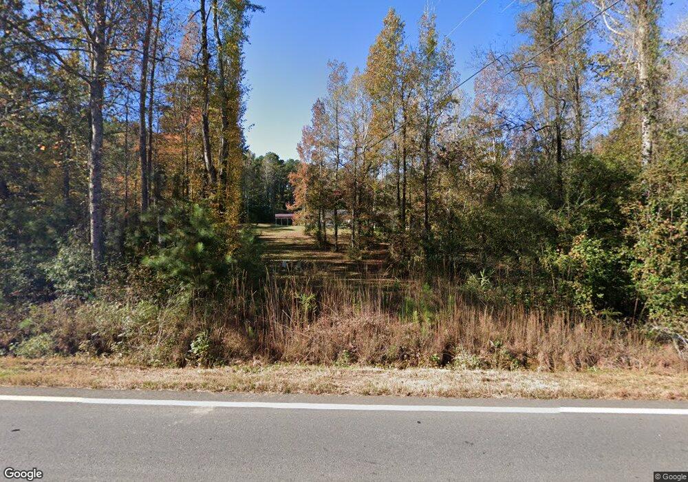
5537 Crest Hwy Thomaston, GA 30286
Estimated Value: $282,578 - $344,000
3
Beds
2
Baths
1,768
Sq Ft
$176/Sq Ft
Est. Value
About This Home
This home is located at 5537 Crest Hwy, Thomaston, GA 30286 and is currently estimated at $311,145, approximately $175 per square foot. 5537 Crest Hwy is a home located in Upson County with nearby schools including Upson-Lee South Elementary School, Upson-Lee North Elementary School, and Upson-Lee Middle School.
Ownership History
Date
Name
Owned For
Owner Type
Purchase Details
Closed on
Mar 27, 2008
Sold by
Not Provided
Bought by
Cooper Jessie
Current Estimated Value
Home Financials for this Owner
Home Financials are based on the most recent Mortgage that was taken out on this home.
Original Mortgage
$142,267
Outstanding Balance
$91,288
Interest Rate
6.22%
Mortgage Type
FHA
Estimated Equity
$219,857
Purchase Details
Closed on
Dec 10, 2007
Sold by
Not Provided
Bought by
Cooper Jessie
Create a Home Valuation Report for This Property
The Home Valuation Report is an in-depth analysis detailing your home's value as well as a comparison with similar homes in the area
Home Values in the Area
Average Home Value in this Area
Purchase History
| Date | Buyer | Sale Price | Title Company |
|---|---|---|---|
| Cooper Jessie | $144,500 | -- | |
| Cooper Jessie | $22,500 | -- |
Source: Public Records
Mortgage History
| Date | Status | Borrower | Loan Amount |
|---|---|---|---|
| Open | Cooper Jessie | $142,267 |
Source: Public Records
Tax History Compared to Growth
Tax History
| Year | Tax Paid | Tax Assessment Tax Assessment Total Assessment is a certain percentage of the fair market value that is determined by local assessors to be the total taxable value of land and additions on the property. | Land | Improvement |
|---|---|---|---|---|
| 2024 | -- | $93,216 | $11,662 | $81,554 |
| 2023 | $0 | $90,133 | $11,662 | $78,471 |
| 2022 | $1,931 | $69,633 | $5,535 | $64,098 |
| 2021 | $1,884 | $61,485 | $5,535 | $55,950 |
| 2020 | $1,786 | $58,300 | $5,260 | $53,040 |
| 2019 | $1,850 | $54,032 | $5,260 | $48,772 |
| 2018 | $0 | $54,032 | $5,260 | $48,772 |
| 2017 | $1,679 | $49,026 | $5,260 | $43,766 |
| 2016 | $1,601 | $46,754 | $4,384 | $42,370 |
| 2015 | -- | $46,753 | $4,384 | $42,370 |
| 2014 | -- | $48,758 | $6,388 | $42,370 |
Source: Public Records
Map
Nearby Homes
- 36 ACRES Firetower Rd
- 0 Firetower Rd Unit 10615379
- 735 Firetower Rd
- 1600 Firetower Rd
- 0 Crest Hwy Unit 10563363
- 0 Crest Hwy Unit 10563371
- 6177 Crest Hwy
- 575 Skelton Rd
- 0 Hamp Smith Rd Unit 10626396
- 0 Ellerbeetown Rd Unit 10599300
- 686 Burkett Rd
- 975 Thurston School Rd
- 2037 Jeff Davis Rd
- 146 Burkett Rd
- 30 Grandview Dr
- 105 Alexandria Way
- 101 Alexandria Way
- 1138 Smyrna Church Rd
- L-2 Smyrna Church Rd
- 000 (948) Smyrna Church Rd
- 5493 Crest Hwy
- 15 Jay Dee Rd
- 5488 Crest Hwy
- 0 Jay Dee Rd Unit 2955487
- 0 Jay Dee Rd Unit 7097191
- 0 Jay Dee Rd Unit 7390436
- 0 Jay Dee Rd Unit 5147257
- 0 Jay Dee Rd Unit 5386780
- 0 Jay Dee Rd Unit 20008987
- 0 Jay Dee Rd Unit 8714593
- 5628 Crest Hwy
- 5440 Crest Hwy
- 5411 Crest Hwy
- 285 Jay Dee Rd
- 5610 Crest Hwy
- 4161 Jeff Davis Rd
- 4191 Jeff Davis Rd
- 5420 Crest Hwy
- 120 Jay Dee Rd
- 4171 Jeff Davis Rd
