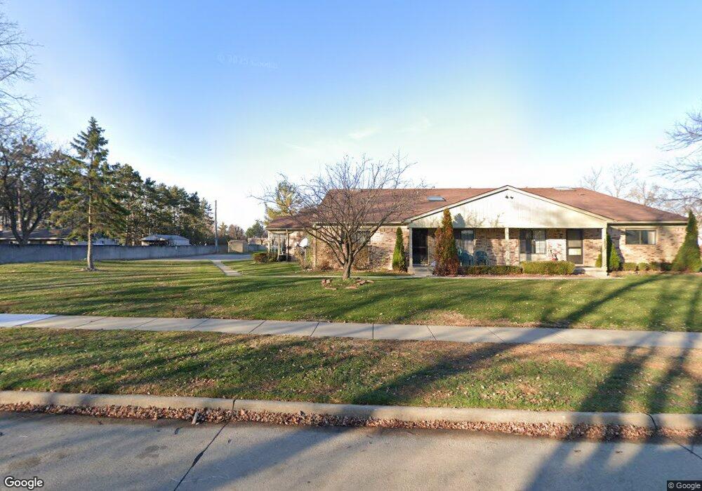
5537 Mansfield Ave Unit 9 Sterling Heights, MI 48310
Estimated Value: $182,406 - $204,000
--
Bed
2
Baths
1,152
Sq Ft
$164/Sq Ft
Est. Value
About This Home
This home is located at 5537 Mansfield Ave Unit 9, Sterling Heights, MI 48310 and is currently estimated at $189,352, approximately $164 per square foot. 5537 Mansfield Ave Unit 9 is a home located in Macomb County with nearby schools including Harwood Elementary School, Carleton Middle School, and Warren Mott High School.
Ownership History
Date
Name
Owned For
Owner Type
Purchase Details
Closed on
Jul 19, 2013
Sold by
Wheeler Judith M and Wheeler Kenneth James
Bought by
Shakouri Sinan
Current Estimated Value
Purchase Details
Closed on
Nov 20, 2006
Sold by
Bhawanie Lorraine M and Zytkowski Lorraine M
Bought by
Wheeler Judith M and Wheeler Kenneth James
Purchase Details
Closed on
Apr 19, 2002
Sold by
Marcicano Gary R
Bought by
Zytkowski Lorraine M
Purchase Details
Closed on
Sep 20, 1994
Sold by
Mary Sveda
Bought by
Hamlett Leroy and Hamlett Vannie
Create a Home Valuation Report for This Property
The Home Valuation Report is an in-depth analysis detailing your home's value as well as a comparison with similar homes in the area
Home Values in the Area
Average Home Value in this Area
Purchase History
| Date | Buyer | Sale Price | Title Company |
|---|---|---|---|
| Shakouri Sinan | $76,000 | First Americna Title Insuran | |
| Wheeler Judith M | $115,000 | None Available | |
| Zytkowski Lorraine M | $133,500 | -- | |
| Hamlett Leroy | $91,000 | -- |
Source: Public Records
Tax History Compared to Growth
Tax History
| Year | Tax Paid | Tax Assessment Tax Assessment Total Assessment is a certain percentage of the fair market value that is determined by local assessors to be the total taxable value of land and additions on the property. | Land | Improvement |
|---|---|---|---|---|
| 2025 | $2,314 | $76,200 | $0 | $0 |
| 2024 | $2,233 | $70,800 | $0 | $0 |
| 2023 | $2,120 | $66,600 | $0 | $0 |
| 2022 | $2,074 | $64,200 | $0 | $0 |
| 2021 | $2,031 | $61,500 | $0 | $0 |
| 2020 | $1,941 | $60,100 | $0 | $0 |
| 2019 | $1,897 | $55,900 | $0 | $0 |
| 2018 | $1,888 | $42,600 | $0 | $0 |
| 2017 | $1,808 | $42,200 | $7,500 | $34,700 |
| 2016 | $1,767 | $42,200 | $0 | $0 |
| 2015 | -- | $37,900 | $0 | $0 |
| 2014 | -- | $27,900 | $0 | $0 |
Source: Public Records
Map
Nearby Homes
- 34641 Mound Rd
- 5336 Mansfield Ave
- 5555 Kreger St
- 5072 15 Mile Rd
- 35554 Buxton Dr
- 5315 Plymouth St
- 5049 Surrey Dr
- 5353 Northlawn Dr
- 4946 Vista Ct
- 4874 Venetian Dr
- 35259 Hatherly Place
- 5018 Northlawn (Ranch) Dr
- 5072 Chadbourne Dr
- 5018 Northlawn Dr
- 5018 Northlawn Dr
- 4655 Ashburton Place
- 5420 Southlawn Dr
- 4468 15 Mile Rd Unit F104
- 35272 Vito Dr
- 35078 Cavant Dr
- 5529 Mansfield Ave Unit 3, 11
- 5525 Mansfield Ave
- 5529 Mansfield Ave Unit 11
- 5533 Mansfield Ave Unit 10
- 5557 Mansfield Ave Unit 5
- 5573 Mansfield Ave
- 5577 Mansfield Ave
- 5549 Mansfield Ave Unit 7
- 5545 Mansfield Ave
- 5549 Mansfield Ave
- 5553 Mansfield Ave
- 5561 Mansfield Ave Unit 4
- 5565 Mansfield Ave
- 5561 Mansfield Ave Unit 2, 4
- 5515 Mansfield Ave
- 5558 Mansfield Ave
- 5536 Mansfield Ave
- 5576 Mansfield Ave
- 34853 Mound Rd
- 34841 Mound Rd