5537 Nelson Pointe Dr Unit 12 Stone Mountain, GA 30087
Estimated Value: $590,000 - $922,000
5
Beds
4
Baths
3,418
Sq Ft
$227/Sq Ft
Est. Value
About This Home
This home is located at 5537 Nelson Pointe Dr Unit 12, Stone Mountain, GA 30087 and is currently estimated at $774,585, approximately $226 per square foot. 5537 Nelson Pointe Dr Unit 12 is a home located in Gwinnett County with nearby schools including Camp Creek Elementary School, Trickum Middle School, and Parkview High School.
Ownership History
Date
Name
Owned For
Owner Type
Purchase Details
Closed on
Dec 16, 2013
Sold by
Lang Enterprises Ltd
Bought by
Bill Jerrold Redmond and Martin-Hill Nicole
Current Estimated Value
Home Financials for this Owner
Home Financials are based on the most recent Mortgage that was taken out on this home.
Original Mortgage
$375,200
Outstanding Balance
$278,911
Interest Rate
4.38%
Mortgage Type
New Conventional
Estimated Equity
$495,674
Purchase Details
Closed on
Jun 6, 2013
Sold by
Labbal Llc
Bought by
Lang Enterprises Ltd
Home Financials for this Owner
Home Financials are based on the most recent Mortgage that was taken out on this home.
Original Mortgage
$351,750
Interest Rate
3.42%
Mortgage Type
New Conventional
Create a Home Valuation Report for This Property
The Home Valuation Report is an in-depth analysis detailing your home's value as well as a comparison with similar homes in the area
Home Values in the Area
Average Home Value in this Area
Purchase History
| Date | Buyer | Sale Price | Title Company |
|---|---|---|---|
| Bill Jerrold Redmond | $489,000 | -- | |
| Lang Enterprises Ltd | -- | -- |
Source: Public Records
Mortgage History
| Date | Status | Borrower | Loan Amount |
|---|---|---|---|
| Open | Bill Jerrold Redmond | $375,200 | |
| Previous Owner | Lang Enterprises Ltd | $351,750 |
Source: Public Records
Tax History
| Year | Tax Paid | Tax Assessment Tax Assessment Total Assessment is a certain percentage of the fair market value that is determined by local assessors to be the total taxable value of land and additions on the property. | Land | Improvement |
|---|---|---|---|---|
| 2025 | $9,100 | $319,440 | $36,000 | $283,440 |
| 2024 | $9,277 | $318,520 | $36,000 | $282,520 |
| 2023 | $9,277 | $297,000 | $51,600 | $245,400 |
| 2022 | $8,794 | $297,000 | $51,600 | $245,400 |
| 2021 | $7,622 | $233,440 | $38,000 | $195,440 |
| 2020 | $6,826 | $194,000 | $38,000 | $156,000 |
| 2019 | $6,045 | $228,440 | $38,000 | $190,440 |
| 2018 | $5,999 | $168,280 | $34,000 | $134,280 |
| 2016 | $6,016 | $168,280 | $34,000 | $134,280 |
| 2015 | $6,086 | $168,280 | $34,000 | $134,280 |
| 2014 | -- | $167,440 | $32,000 | $135,440 |
Source: Public Records
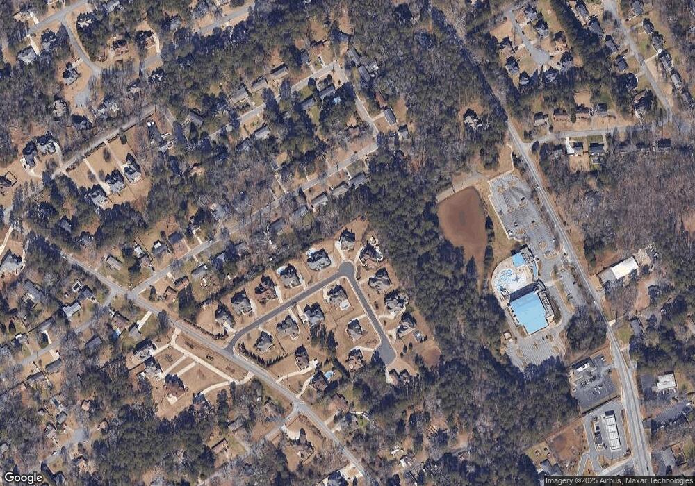
Map
Nearby Homes
- 771 Mountainbrooke Cir SW
- 771/761 Mountainbrooke Cir SW
- 886 Oakhill Ct
- 717 Oxford Ct SW
- 5464 Breathitt Dr SW
- 6268 Old Stone Mountain Rd
- 5115 Five Forks Trickum Rd SW
- 6179 Windsong Way
- 5104 Onawa Ct SW
- 1404 Megan Danielle Dr SW
- 5798 Musket Ln
- 1777 E Gate Trail
- 5163 Charlemagne Way SW
- 1075 Westchester Dr SW
- 5919 Heritage Ln
- 1465 Pounds Rd SW Unit 1
- 5888 Old Stone Mountain Rd
- 5113 Brownlee Rd
- 993 Medina Dr SW
- 1705 Lilburn Stone Mountain Rd
- 5537 Nelson Pointe Dr
- 5527 Nelson Pointe Dr
- 5480 Crestland Ct
- 5470 Crestland Ct
- 5460 Crestland Ct
- 5517 Nelson Pointe Dr
- 5690 Crestland Ct
- 5548 Nelson Pointe Dr Unit 4
- 5504 Crestland Ct
- 5557 Nelson Pointe Dr
- 5450 Crestland Ct
- 5507 Nelson Pointe Dr
- 5558 Nelson Pointe Dr
- 5516 Crestland Ct
- 5485 Crestland Ct
- 5495 Crestland Ct
- 5475 Crestland Ct
- 5446 Crestland Ct
- 5508 Nelson Pointe Dr
- 5567 Nelson Pointe Dr