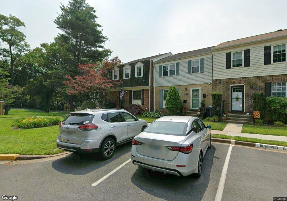
5538 Paxford Ct Fairfax, VA 22032
Estimated Value: $599,000 - $622,000
3
Beds
4
Baths
1,452
Sq Ft
$421/Sq Ft
Est. Value
About This Home
This home is located at 5538 Paxford Ct, Fairfax, VA 22032 and is currently estimated at $610,971, approximately $420 per square foot. 5538 Paxford Ct is a home located in Fairfax County with nearby schools including Laurel Ridge Elementary School, James W Robinson, Jr. Secondary School, and GW Community School.
Ownership History
Date
Name
Owned For
Owner Type
Purchase Details
Closed on
Sep 3, 2010
Sold by
Riesgraf Donald R
Bought by
Bosch Eric A
Current Estimated Value
Home Financials for this Owner
Home Financials are based on the most recent Mortgage that was taken out on this home.
Original Mortgage
$242,000
Outstanding Balance
$160,690
Interest Rate
4.55%
Mortgage Type
New Conventional
Estimated Equity
$450,281
Create a Home Valuation Report for This Property
The Home Valuation Report is an in-depth analysis detailing your home's value as well as a comparison with similar homes in the area
Home Values in the Area
Average Home Value in this Area
Purchase History
| Date | Buyer | Sale Price | Title Company |
|---|---|---|---|
| Bosch Eric A | $342,000 | -- |
Source: Public Records
Mortgage History
| Date | Status | Borrower | Loan Amount |
|---|---|---|---|
| Open | Bosch Eric A | $242,000 |
Source: Public Records
Tax History Compared to Growth
Tax History
| Year | Tax Paid | Tax Assessment Tax Assessment Total Assessment is a certain percentage of the fair market value that is determined by local assessors to be the total taxable value of land and additions on the property. | Land | Improvement |
|---|---|---|---|---|
| 2025 | $6,052 | $597,080 | $200,000 | $397,080 |
| 2024 | $6,052 | $522,360 | $175,000 | $347,360 |
| 2023 | $5,691 | $504,320 | $170,000 | $334,320 |
| 2022 | $5,630 | $492,390 | $160,000 | $332,390 |
| 2021 | $5,384 | $458,760 | $140,000 | $318,760 |
| 2020 | $5,004 | $422,840 | $135,000 | $287,840 |
| 2019 | $4,883 | $412,590 | $130,000 | $282,590 |
| 2018 | $4,509 | $392,120 | $120,000 | $272,120 |
| 2017 | $4,404 | $379,350 | $115,000 | $264,350 |
| 2016 | $4,104 | $354,280 | $100,000 | $254,280 |
| 2015 | $4,152 | $372,040 | $100,000 | $272,040 |
| 2014 | $3,915 | $351,580 | $90,000 | $261,580 |
Source: Public Records
Map
Nearby Homes
- 5504 Winford Ct
- 5508 La Cross Ct
- 5431 Crows Nest Ct
- 9909 Lakepointe Dr
- 5515 Cheshire Meadows Way
- 5307 Richardson Dr
- 5453 Cheshire Meadows Way
- 5361 Gainsborough Dr
- 9769 High Water Ct
- 5313 Stonington Dr
- 5838 High Bluff Ct
- 12210 Wye Oak Commons Cir
- 5947 New England Woods Dr
- 10330 Luria Commons Ct Unit 1B
- 10388 Hampshire Green Ave
- 5922 New England Woods Dr
- 5976 Annaberg Place Unit 168
- 5711 Crownleigh Ct
- 9710 Ashbourn Dr
- 10139 Wood Green Way
- 5540 Paxford Ct
- 5536 Paxford Ct
- 5542 Paxford Ct
- 5544 Paxford Ct
- 5546 Paxford Ct
- 5534 Paxford Ct
- 5548 Paxford Ct
- 5532 Paxford Ct
- 9965 Wood Wren Ct
- 5530 Paxford Ct
- 5550 Paxford Ct
- 5528 Paxford Ct
- 9963 Wood Wren Ct
- 9961 Wood Wren Ct
- 5526 Paxford Ct
- 5531 Starboard Ct
- 5524 Paxford Ct
- 9959 Wood Wren Ct
- 9964 Wood Wren Ct