Estimated Value: $286,000 - $458,000
--
Bed
1
Bath
3,034
Sq Ft
$118/Sq Ft
Est. Value
About This Home
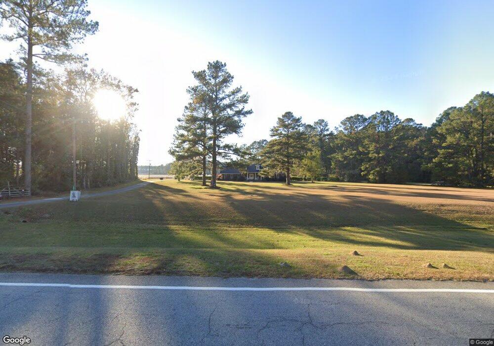
This home is located at 5539 Ga Highway 119 N, Clyo, GA 31303 and is currently estimated at $357,386, approximately $117 per square foot. 5539 Ga Highway 119 N is a home located in Effingham County with nearby schools including Ebenezer Elementary School, Ebenezer Middle School, and Effingham County High School.
Ownership History
Date
Name
Owned For
Owner Type
Purchase Details
Closed on
Jan 30, 2013
Sold by
Allen F Lamar
Bought by
Jag Of Effingham County Llc
Current Estimated Value
Purchase Details
Closed on
Nov 30, 2012
Sold by
Allen F Lamar
Bought by
Jag Of Effingham County Llc
Purchase Details
Closed on
Feb 13, 1998
Bought by
Allen Thomas George
Create a Home Valuation Report for This Property
The Home Valuation Report is an in-depth analysis detailing your home's value as well as a comparison with similar homes in the area
Home Values in the Area
Average Home Value in this Area
Purchase History
| Date | Buyer | Sale Price | Title Company |
|---|---|---|---|
| Jag Of Effingham County Llc | -- | -- | |
| Jag Of Effingham County Llc | -- | -- | |
| Allen Thomas George | -- | -- |
Source: Public Records
Tax History Compared to Growth
Tax History
| Year | Tax Paid | Tax Assessment Tax Assessment Total Assessment is a certain percentage of the fair market value that is determined by local assessors to be the total taxable value of land and additions on the property. | Land | Improvement |
|---|---|---|---|---|
| 2024 | $2,605 | $84,969 | $12,118 | $72,851 |
| 2023 | $1,834 | $78,635 | $12,118 | $66,517 |
| 2022 | $2,319 | $76,438 | $9,921 | $66,517 |
| 2021 | $1,989 | $64,899 | $9,019 | $55,880 |
| 2020 | $1,920 | $63,965 | $8,842 | $55,123 |
| 2019 | $1,927 | $63,965 | $8,842 | $55,123 |
| 2018 | $1,953 | $64,273 | $13,379 | $50,894 |
| 2017 | $1,965 | $64,273 | $13,379 | $50,894 |
| 2016 | $1,888 | $64,274 | $13,379 | $50,894 |
| 2015 | -- | $64,273 | $13,379 | $50,894 |
| 2014 | -- | $64,274 | $13,379 | $50,894 |
| 2013 | -- | $64,273 | $13,379 | $50,894 |
Source: Public Records
Map
Nearby Homes
- 0 Morgan Cemetery Rd Unit 21693641
- 0 Reidsville Rd Unit 10397939
- 0 Morgan Cemetery Rd Unit 10393176
- 1270 Reedsville Rd
- 0 Reedsville Rd Unit SA336727
- 0 Reedsville Rd Unit Lot 2 SA335653
- 0 Reedsville Rd Unit LOT 2 10575823
- 0 Reedsville Rd Unit SA333786
- 0 Reedsville Rd Unit 10556762
- 1383 Reedsville Rd
- 1382 Reedsville Rd
- 282 Tuckasee-King Rd
- 239 Morgan Cemetery Rd
- 1091 Green Morgan School Rd
- 3481 Sand Hills Rd
- 554 Mariners Way
- 116 Runs Crossing Dr
- Tbd Stokes Bluff Landing
- 392 Reiser Rd
- 532 Stokes Bluff Rd
- 5538 Ga Highway 119 N
- 5538 Ga Highway 119 N
- 109 Railroad Ave
- 165 Marion Ave
- 141 Marion Ave
- 5457 Ga Highway 119 N
- 176 Marion Ave
- 3183 Sisters Ferry Rd
- 236 Marion Ave
- 164 Marion Ave
- 114 Marion Ave
- 256 Marion Ave
- 270 Marion Ave
- 228 Marion Ave
- 274 Marion Ave
- 280 Marion Ave
- 3143 Sisters Ferry Rd
- 122 2nd St
- 120 3rd St
- 114 Williams St