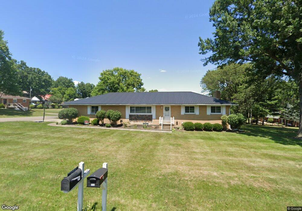
554 9th St NW Unit 73 Carrollton, OH 44615
Estimated Value: $187,000 - $229,000
3
Beds
2
Baths
1,932
Sq Ft
$107/Sq Ft
Est. Value
About This Home
This home is located at 554 9th St NW Unit 73, Carrollton, OH 44615 and is currently estimated at $206,179, approximately $106 per square foot. 554 9th St NW Unit 73 is a home located in Carroll County with nearby schools including Carrollton High School and Carroll County Christian Academy.
Ownership History
Date
Name
Owned For
Owner Type
Purchase Details
Closed on
Dec 7, 2005
Sold by
Birong Thomas J and Birong Jennifer C
Bought by
Grubb Robert J and Grubb Sarah A
Current Estimated Value
Home Financials for this Owner
Home Financials are based on the most recent Mortgage that was taken out on this home.
Original Mortgage
$133,500
Outstanding Balance
$74,294
Interest Rate
6.2%
Mortgage Type
New Conventional
Estimated Equity
$131,885
Create a Home Valuation Report for This Property
The Home Valuation Report is an in-depth analysis detailing your home's value as well as a comparison with similar homes in the area
Home Values in the Area
Average Home Value in this Area
Purchase History
| Date | Buyer | Sale Price | Title Company |
|---|---|---|---|
| Grubb Robert J | $133,500 | Attorney |
Source: Public Records
Mortgage History
| Date | Status | Borrower | Loan Amount |
|---|---|---|---|
| Open | Grubb Robert J | $133,500 |
Source: Public Records
Tax History Compared to Growth
Tax History
| Year | Tax Paid | Tax Assessment Tax Assessment Total Assessment is a certain percentage of the fair market value that is determined by local assessors to be the total taxable value of land and additions on the property. | Land | Improvement |
|---|---|---|---|---|
| 2024 | $1,854 | $54,320 | $15,350 | $38,970 |
| 2023 | $1,841 | $54,320 | $15,350 | $38,970 |
| 2022 | $1,830 | $45,080 | $12,740 | $32,340 |
| 2021 | $1,571 | $45,080 | $12,740 | $32,340 |
| 2020 | $1,495 | $45,080 | $12,740 | $32,340 |
| 2019 | $1,507 | $45,080 | $12,740 | $32,340 |
| 2018 | $1,498 | $43,040 | $6,940 | $36,100 |
| 2017 | $1,400 | $43,040 | $6,940 | $36,100 |
| 2016 | $1,387 | $39,490 | $6,370 | $33,120 |
| 2015 | $1,298 | $39,490 | $6,370 | $33,120 |
| 2014 | $1,298 | $39,490 | $6,370 | $33,120 |
| 2013 | $1,287 | $39,490 | $6,370 | $33,120 |
Source: Public Records
Map
Nearby Homes
- 810 Canton Rd NW Unit 75
- 615 Longhorn St NW Unit 20B
- 551 6th St NW
- 576 12th St NW
- 208 2nd St SW Unit 5
- 67 2nd St NE Unit 22
- 238 High St SW Unit 3A
- 400 Park Ave NE
- 342 Woodridge Dr SW
- 336 Steubenville Rd SE Unit 25K
- 248 Scio Rd SE
- 180 Waynesburg Rd NE
- 117 Waynesburg Rd NW Unit 4A
- 1368 Andora Rd NE
- 1183 Waynesburg Rd NW
- 3044 Jasmine Rd NW Unit 11
- 1219 Steubenville Rd SE Unit 24B
- 3190 Kensington Rd NE
- 3015 Avalon Rd NW
- 4337 Graph Rd NW
- 924 Jones Ave NW Unit 73
- 901 Jones Ave NW Unit 73
- 555 9th St NW Unit 73
- 545 9th St NW
- 524 9th St NW Unit 73
- 923 Lincoln Ave NW Unit 73
- 944 Jones Ave NW Unit 73
- 0 Jones Ave NW
- 923 Jones Ave NW Unit 73
- 815 Jones Ave NW Unit 73
- 535 9th St NW Unit 73
- 943 Lincoln Ave NW Unit 73
- 924 Thomas Ave NW Unit 73
- 828 Thomas Ave NW Unit 73
- 556 8th St NW Unit 73
- 931 Jones Ave NW Unit 73
- 546 8th St NW Unit 73
- 545 10th St NW Unit 73
- 818 Thomas Ave NW Unit 73
- 536 8th St NW Unit 73