554 Brinkburn Point Ave Las Vegas, NV 89178
Estimated Value: $356,395 - $368,000
3
Beds
3
Baths
1,301
Sq Ft
$279/Sq Ft
Est. Value
About This Home
This home is located at 554 Brinkburn Point Ave, Las Vegas, NV 89178 and is currently estimated at $362,349, approximately $278 per square foot. 554 Brinkburn Point Ave is a home located in Clark County with nearby schools including Robert L. Forbuss Elementary School, Wilbur & Theresa Faiss Middle School, and Sierra Vista High School.
Ownership History
Date
Name
Owned For
Owner Type
Purchase Details
Closed on
Nov 19, 2007
Sold by
Kb Home Nevada Inc
Bought by
Dungo Paul Neilsen Y and Gagarin Florante
Current Estimated Value
Home Financials for this Owner
Home Financials are based on the most recent Mortgage that was taken out on this home.
Original Mortgage
$200,782
Outstanding Balance
$126,840
Interest Rate
6.35%
Mortgage Type
Unknown
Estimated Equity
$235,509
Create a Home Valuation Report for This Property
The Home Valuation Report is an in-depth analysis detailing your home's value as well as a comparison with similar homes in the area
Home Values in the Area
Average Home Value in this Area
Purchase History
| Date | Buyer | Sale Price | Title Company |
|---|---|---|---|
| Dungo Paul Neilsen Y | $200,782 | First Amer Title Co Of Nv |
Source: Public Records
Mortgage History
| Date | Status | Borrower | Loan Amount |
|---|---|---|---|
| Open | Dungo Paul Neilsen Y | $200,782 |
Source: Public Records
Tax History Compared to Growth
Tax History
| Year | Tax Paid | Tax Assessment Tax Assessment Total Assessment is a certain percentage of the fair market value that is determined by local assessors to be the total taxable value of land and additions on the property. | Land | Improvement |
|---|---|---|---|---|
| 2025 | $1,528 | $89,793 | $31,500 | $58,293 |
| 2024 | $1,415 | $89,793 | $31,500 | $58,293 |
| 2023 | $942 | $82,727 | $28,000 | $54,727 |
| 2022 | $1,311 | $72,680 | $22,750 | $49,930 |
| 2021 | $1,214 | $70,143 | $22,750 | $47,393 |
| 2020 | $1,124 | $68,258 | $21,350 | $46,908 |
| 2019 | $1,054 | $64,261 | $18,200 | $46,061 |
| 2018 | $1,005 | $58,359 | $14,350 | $44,009 |
| 2017 | $1,663 | $56,714 | $12,250 | $44,464 |
| 2016 | $942 | $48,295 | $9,450 | $38,845 |
| 2015 | $939 | $39,421 | $7,350 | $32,071 |
| 2014 | $912 | $30,164 | $5,250 | $24,914 |
Source: Public Records
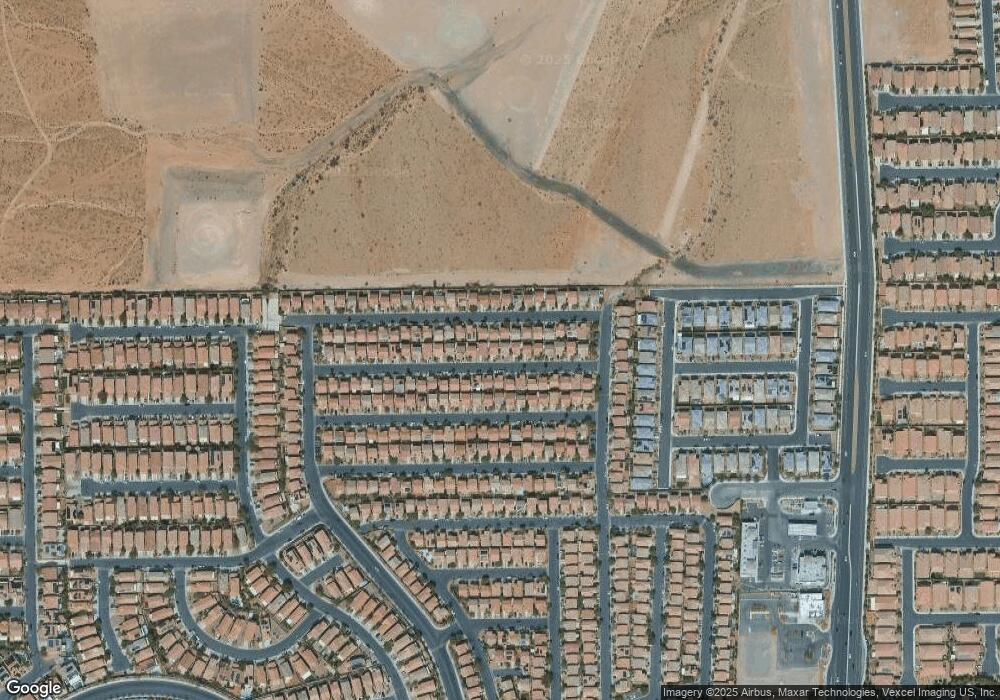
Map
Nearby Homes
- 573 Shewsbury Ave
- 445 Royal Bridge Dr
- 452 Swiss Cottage Ave
- 661 Newquay Ct
- 523 Cabis Bay St
- 552 Brompton St
- 582 Brompton St
- 722 Chepstow Ave
- 533 Warminster Ave
- 719 Quayside Ct
- 389 Fringe Ruff Dr
- 492 Merseyside Dr
- 705 Shirehampton Dr
- 242 Botanic Gardens Dr
- 356 Pearl Fountains Ct
- 728 Jewel Tower St
- 791 Trumpington Ct
- 736 Saint Keyne St
- 395 Grassy Pines Ct
- 280 Broken Par Dr
- 558 Brinkburn Point Ave
- 550 Brinkburn Point Ave
- 557 Beckton Park Ave
- 562 Brinkburn Point Ave
- 553 Beckton Park Ave
- 561 Beckton Park Ave
- 561 Beckton Park Ave Unit n/a
- 544 Brinkburn Point Ave
- 565 Beckton Park Ave
- 547 Beckton Park Ave
- 553 Brinkburn Point Ave
- 557 Brinkburn Point Ave
- 566 Brinkburn Point Ave
- 538 Brinkburn Point Ave
- 549 Brinkburn Point Ave Unit 3
- 549 Brinkburn Point Ave
- 561 Brinkburn Point Ave
- 561 Brinkburn Point Ave
- 569 Beckton Park Ave
- 541 Beckton Park Ave