554 Clarks Tract Keswick, VA 22947
Estimated Value: $661,000 - $839,000
4
Beds
4
Baths
3,614
Sq Ft
$210/Sq Ft
Est. Value
About This Home
This home is located at 554 Clarks Tract, Keswick, VA 22947 and is currently estimated at $760,166, approximately $210 per square foot. 554 Clarks Tract is a home located in Albemarle County with nearby schools including Stone Robinson Elementary School, Jackson P. Burley Middle School, and Monticello High School.
Ownership History
Date
Name
Owned For
Owner Type
Purchase Details
Closed on
Nov 22, 2024
Sold by
Brigish Conway Hal
Bought by
Conway Hal Brigish Living Trust and Brigish
Current Estimated Value
Purchase Details
Closed on
Oct 9, 2012
Sold by
Pownall Michael and Pownall Caroline
Bought by
Powell David Allen
Create a Home Valuation Report for This Property
The Home Valuation Report is an in-depth analysis detailing your home's value as well as a comparison with similar homes in the area
Home Values in the Area
Average Home Value in this Area
Purchase History
| Date | Buyer | Sale Price | Title Company |
|---|---|---|---|
| Conway Hal Brigish Living Trust | -- | None Listed On Document | |
| Conway Hal Brigish Living Trust | -- | None Listed On Document | |
| Powell David Allen | $475,000 | None Available |
Source: Public Records
Tax History Compared to Growth
Tax History
| Year | Tax Paid | Tax Assessment Tax Assessment Total Assessment is a certain percentage of the fair market value that is determined by local assessors to be the total taxable value of land and additions on the property. | Land | Improvement |
|---|---|---|---|---|
| 2025 | $5,510 | $616,300 | $177,800 | $438,500 |
| 2024 | -- | $592,500 | $125,400 | $467,100 |
| 2023 | $5,518 | $691,600 | $136,500 | $555,100 |
| 2022 | $4,625 | $541,600 | $112,800 | $428,800 |
| 2021 | $4,156 | $486,600 | $109,800 | $376,800 |
| 2020 | $3,986 | $466,700 | $106,800 | $359,900 |
| 2019 | $3,760 | $440,300 | $97,900 | $342,400 |
| 2018 | $3,518 | $432,500 | $97,900 | $334,600 |
| 2017 | $3,407 | $406,100 | $84,600 | $321,500 |
| 2016 | $3,135 | $373,700 | $112,800 | $260,900 |
| 2015 | $3,012 | $367,800 | $112,800 | $255,000 |
| 2014 | -- | $373,100 | $118,700 | $254,400 |
Source: Public Records
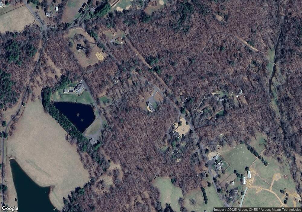
Map
Nearby Homes
- 347 Clarks Tract
- 405B Lazy Branch Ln
- 405C Lazy Branch Ln
- 405A Lazy Branch Ln
- 4798 Barn Field Dr
- 0 Louisa Rd Unit 646537
- 465 Glenmore Lot 30 Ln
- 240 Campbell Rd
- SALEM Plan at Green Spring Estates
- HAYDEN Plan at Green Spring Estates
- HANOVER Plan at Green Spring Estates
- 354 Glenmore Lot 35 Ln
- 465 Glenmore Ln Unit LOT 30
- 354 Glenmore Ln Unit LOT 35
- 345 Glenmore Ln
- 371 Glenmore Lot 52a Ln
- 371 Glenmore Ln Unit LOT 52A
- Leigh Plan at Green Spring Estates
- Stratford Plan at Green Spring Estates
- 215 Glenmore Ln
- 1081 Pelham Dr
- 565 Clarks Tract
- 578 Clarks Tract
- 526 Clarks Tract
- 588 Clarks Tract
- 593 Clarks Tract
- 601 Clarks Tract
- 600 Clarks Tract
- 505 Clarks Tract
- 528 Clarks Tract
- 583 Clarks Tract
- 611 Clarks Tract
- 620 Clarks Tract
- 496 Clarks Tract
- 625 Clarks Tract
- 4610 Longhorn Dr
- 481 Clarks Tract
- 635 Clarks Tract
- 634 Clarks Tract
- 455 Clarks Tract