Estimated Value: $41,000 - $71,117
1
Bed
1
Bath
672
Sq Ft
$81/Sq Ft
Est. Value
About This Home
This home is located at 554 Cortlandt Ave, Lima, OH 45801 and is currently estimated at $54,529, approximately $81 per square foot. 554 Cortlandt Ave is a home located in Allen County with nearby schools including Independence Elementary School, Lima North Middle School, and Lima West Middle School.
Ownership History
Date
Name
Owned For
Owner Type
Purchase Details
Closed on
Apr 26, 2019
Sold by
Canavan Diann and Estate Of Donald Allen Gronas
Bought by
Canavan Kevin and Canavan Diann
Current Estimated Value
Purchase Details
Closed on
Feb 6, 2017
Sold by
Schoonover Michael R and Schoonover Joyce M
Bought by
Gronas Donald
Purchase Details
Closed on
Jan 23, 2014
Sold by
Schoonover Mike R and Schoonover Joyce M
Bought by
Schoonover Michael R and Schoonover Joyce M
Purchase Details
Closed on
Apr 28, 1994
Bought by
Schoonover Mike B and Schoonover Joyce M
Purchase Details
Closed on
Jan 22, 1991
Bought by
Prince Jeffrey A
Create a Home Valuation Report for This Property
The Home Valuation Report is an in-depth analysis detailing your home's value as well as a comparison with similar homes in the area
Home Values in the Area
Average Home Value in this Area
Purchase History
| Date | Buyer | Sale Price | Title Company |
|---|---|---|---|
| Canavan Kevin | $18,000 | None Available | |
| Gronas Donald | $20,000 | None Available | |
| Schoonover Michael R | -- | None Available | |
| Schoonover Mike B | $23,500 | -- | |
| Prince Jeffrey A | $20,000 | -- |
Source: Public Records
Tax History Compared to Growth
Tax History
| Year | Tax Paid | Tax Assessment Tax Assessment Total Assessment is a certain percentage of the fair market value that is determined by local assessors to be the total taxable value of land and additions on the property. | Land | Improvement |
|---|---|---|---|---|
| 2024 | $598 | $15,160 | $2,280 | $12,880 |
| 2023 | $545 | $11,940 | $1,790 | $10,150 |
| 2022 | $547 | $11,940 | $1,790 | $10,150 |
| 2021 | $578 | $11,940 | $1,790 | $10,150 |
| 2020 | $552 | $10,050 | $1,720 | $8,330 |
| 2019 | $552 | $10,050 | $1,720 | $8,330 |
| 2018 | $533 | $10,050 | $1,720 | $8,330 |
| 2017 | $553 | $10,050 | $1,720 | $8,330 |
| 2016 | $561 | $10,050 | $1,720 | $8,330 |
| 2015 | $570 | $10,050 | $1,720 | $8,330 |
| 2014 | $540 | $9,490 | $1,680 | $7,810 |
| 2013 | $527 | $9,490 | $1,680 | $7,810 |
Source: Public Records
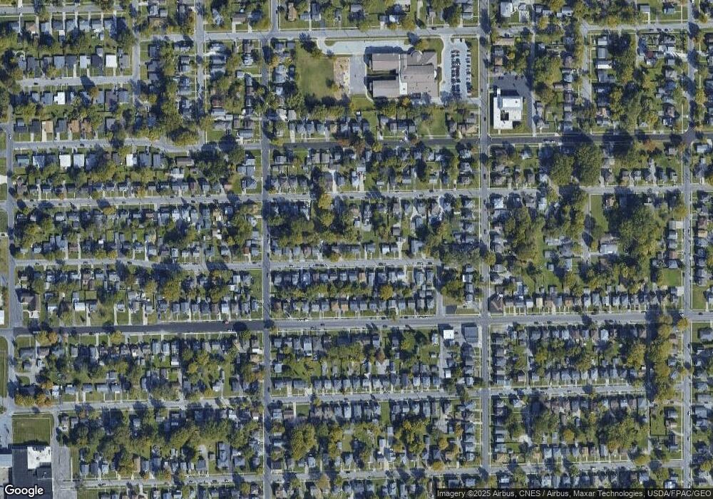
Map
Nearby Homes
- 576 Cortlandt Ave
- 1116 Belvidere Ave
- 638 Hazel Ave
- 648 Hazel Ave
- 631 Hazel Ave
- 708 N Metcalf St
- 416 Hazel Ave
- 676 Cortlandt Ave
- 612 N Metcalf St
- 939 N West St
- 222 W Grand Ave
- 849 Runyan Ave
- 765 W O'Connor Ave
- 608 W O'Connor Ave
- 606 N West St
- 618 Woodward Ave
- 434 N Washington St
- 745 Brice Ave
- 616 N Elizabeth St
- 627 Brice Ave
- 534 Cortlandt Ave
- 558 Cortlandt Ave
- 635 Ewing Ave
- 532 Cortlandt Ave
- 637 Ewing Ave
- 633 Ewing Ave
- 551 Cortlandt Ave
- 566 Cortlandt Ave
- 547 Cortlandt Ave
- 543 Cortlandt Ave
- 629 Ewing Ave
- 530 Cortlandt Ave
- 559 Cortlandt Ave
- 639 Ewing Ave
- 563 Cortlandt Ave
- 535 Cortlandt Ave
- 570 Cortlandt Ave
- 625 Ewing Ave
- 524 Cortlandt Ave