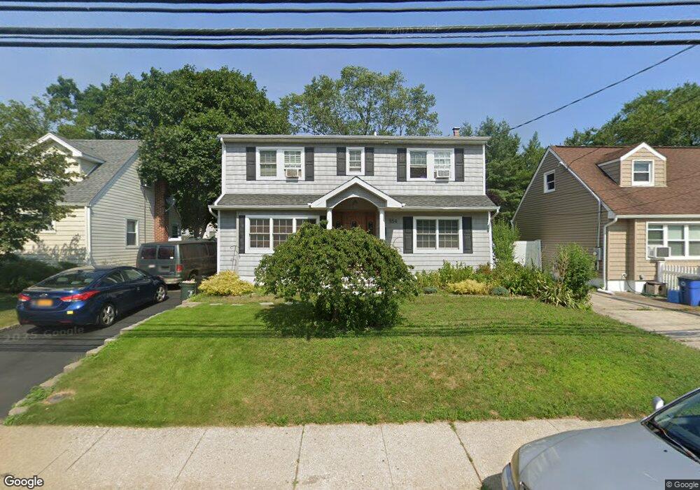
554 Meadowbrook Rd Merrick, NY 11566
Estimated Value: $604,814 - $825,000
Studio
2
Baths
1,499
Sq Ft
$477/Sq Ft
Est. Value
About This Home
This home is located at 554 Meadowbrook Rd, Merrick, NY 11566 and is currently estimated at $714,907, approximately $476 per square foot. 554 Meadowbrook Rd is a home located in Nassau County with nearby schools including Merrick Avenue Middle School, Sanford H Calhoun High School, and Sacred Heart School.
Ownership History
Date
Name
Owned For
Owner Type
Purchase Details
Closed on
Sep 14, 1995
Sold by
Ferraro Carmen and Ferraro Lucia
Bought by
Curran John and Curran Patricia
Current Estimated Value
Home Financials for this Owner
Home Financials are based on the most recent Mortgage that was taken out on this home.
Original Mortgage
$127,000
Interest Rate
7.86%
Create a Home Valuation Report for This Property
The Home Valuation Report is an in-depth analysis detailing your home's value as well as a comparison with similar homes in the area
Home Values in the Area
Average Home Value in this Area
Purchase History
| Date | Buyer | Sale Price | Title Company |
|---|---|---|---|
| Curran John | $137,000 | -- |
Source: Public Records
Mortgage History
| Date | Status | Borrower | Loan Amount |
|---|---|---|---|
| Closed | Curran John | $127,000 |
Source: Public Records
Tax History
| Year | Tax Paid | Tax Assessment Tax Assessment Total Assessment is a certain percentage of the fair market value that is determined by local assessors to be the total taxable value of land and additions on the property. | Land | Improvement |
|---|---|---|---|---|
| 2025 | $12,191 | $455 | $172 | $283 |
| 2024 | $3,287 | $441 | $167 | $274 |
Source: Public Records
Map
Nearby Homes
- 1709 Camp Ave
- 1713 Camp Ave
- 1721 Michael William Rd
- 1750 Henry Rd
- 1526 Rhode Ave
- 1719 William St
- 57 Maeder Ave
- 1826 Camp Ave
- 379 Washington Ave
- 45 Richard Ave
- 49 Prospect St
- 37 Decatur St
- 1415 Rhode Ave
- 1871 Relyea Dr
- 25 Bainbridge St
- 49 Elizabeth St
- 204 Maeder Ave
- 1656 Michalicki Place
- 132 Webster St
- 10 Sheridan Place
- 556 Meadowbrook Rd
- 29 Northridge Ave
- 33 Northridge Ave
- 560 Meadowbrook Rd
- 1601 Meadowbrook Rd
- 35 Northridge Ave
- 25 Northridge Ave
- 25 Northridge Ave Unit 2
- 1586 Meadowbrook Rd
- 1582 Meadowbrook Rd
- 1594 Meadowbrook Rd
- 21 Northridge Ave
- 1600 Meadowbrook Rd
- 11143 Meadowbrook Rd
- 1576 Meadowbrook Rd
- 17 Northridge Ave
- 1617 Meadowbrook Rd
- 1570 Meadowbrook Rd
- 1685 Camp Ave
- 32 Northridge Ave
Your Personal Tour Guide
Ask me questions while you tour the home.