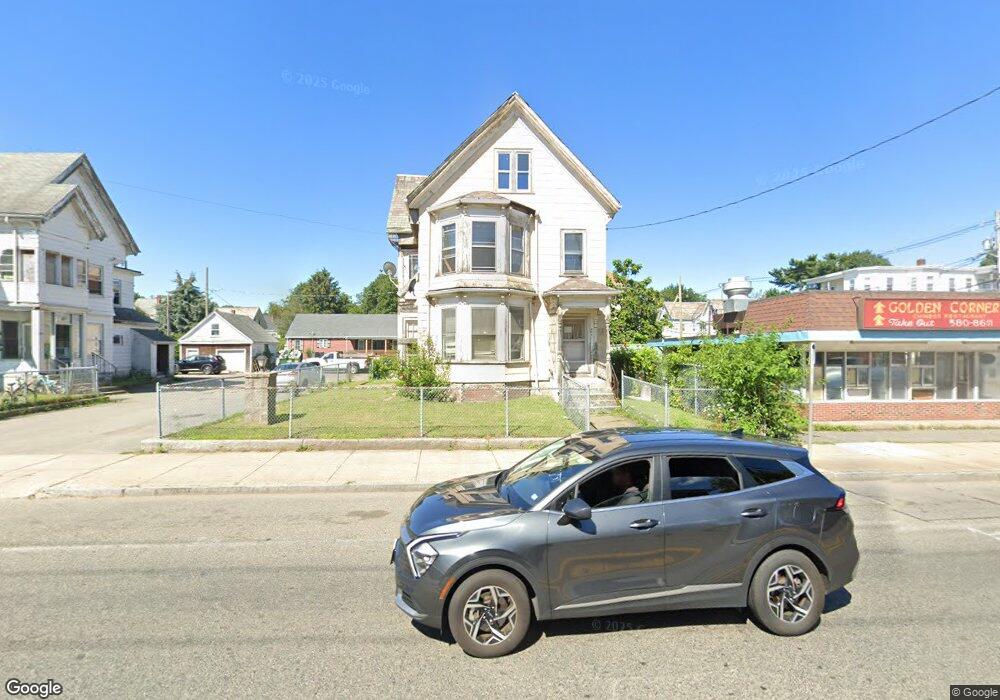
554 N Main St Unit 3 Brockton, MA 02301
Estimated Value: $365,806 - $752,000
2
Beds
1
Bath
900
Sq Ft
$699/Sq Ft
Est. Value
About This Home
This home is located at 554 N Main St Unit 3, Brockton, MA 02301 and is currently estimated at $629,202, approximately $699 per square foot. 554 N Main St Unit 3 is a home located in Plymouth County with nearby schools including Louis F Angelo Elementary School, Raymond K-8 Elementary School, and Manthala George Jr. School.
Ownership History
Date
Name
Owned For
Owner Type
Purchase Details
Closed on
Feb 24, 2003
Sold by
Awon Eddie
Bought by
554 North Main St Rt and Five Hundred Fifty Fou
Current Estimated Value
Home Financials for this Owner
Home Financials are based on the most recent Mortgage that was taken out on this home.
Original Mortgage
$187,500
Outstanding Balance
$81,194
Interest Rate
5.98%
Mortgage Type
Purchase Money Mortgage
Estimated Equity
$548,008
Purchase Details
Closed on
May 22, 2001
Sold by
Donahue Kathleen
Bought by
Awon Eddie
Home Financials for this Owner
Home Financials are based on the most recent Mortgage that was taken out on this home.
Original Mortgage
$144,000
Interest Rate
7.03%
Mortgage Type
Purchase Money Mortgage
Create a Home Valuation Report for This Property
The Home Valuation Report is an in-depth analysis detailing your home's value as well as a comparison with similar homes in the area
Home Values in the Area
Average Home Value in this Area
Purchase History
| Date | Buyer | Sale Price | Title Company |
|---|---|---|---|
| 554 North Main St Rt | $160,000 | -- | |
| Awon Eddie | $160,000 | -- |
Source: Public Records
Mortgage History
| Date | Status | Borrower | Loan Amount |
|---|---|---|---|
| Open | Awon Eddie | $187,500 | |
| Previous Owner | Awon Eddie | $144,000 | |
| Previous Owner | Awon Eddie | $67,000 | |
| Previous Owner | Awon Eddie | $30,400 |
Source: Public Records
Tax History Compared to Growth
Tax History
| Year | Tax Paid | Tax Assessment Tax Assessment Total Assessment is a certain percentage of the fair market value that is determined by local assessors to be the total taxable value of land and additions on the property. | Land | Improvement |
|---|---|---|---|---|
| 2025 | $5,743 | $474,200 | $140,300 | $333,900 |
| 2024 | $5,523 | $459,500 | $140,300 | $319,200 |
| 2023 | $4,622 | $356,100 | $105,300 | $250,800 |
| 2022 | $5,265 | $376,900 | $95,800 | $281,100 |
| 2021 | $4,162 | $287,000 | $79,800 | $207,200 |
| 2020 | $3,251 | $214,600 | $74,500 | $140,100 |
| 2019 | $3,270 | $210,400 | $72,600 | $137,800 |
| 2018 | $2,740 | $170,600 | $72,600 | $98,000 |
| 2017 | $2,528 | $157,000 | $72,600 | $84,400 |
| 2016 | $2,281 | $131,400 | $70,400 | $61,000 |
| 2015 | $2,318 | $127,700 | $70,400 | $57,300 |
| 2014 | $2,147 | $118,400 | $70,400 | $48,000 |
Source: Public Records
Map
Nearby Homes
- 554 N Main St
- 544 N Main St Unit 4
- 9 Division St
- 14 Battles St
- 16 Battles St
- 11 Division St
- 11 Division St Unit 1
- 11 Division St Unit 2
- 17 Division St
- 568 Main St
- 566 N Main St
- 11 Battles St
- 574 N Main St
- 574 N Main St Unit 1
- 21 Division St
- 21 Division St Unit 1
- 567 N Main St
- 9 Battles St
- 15 Battles St
- 28 Battles St