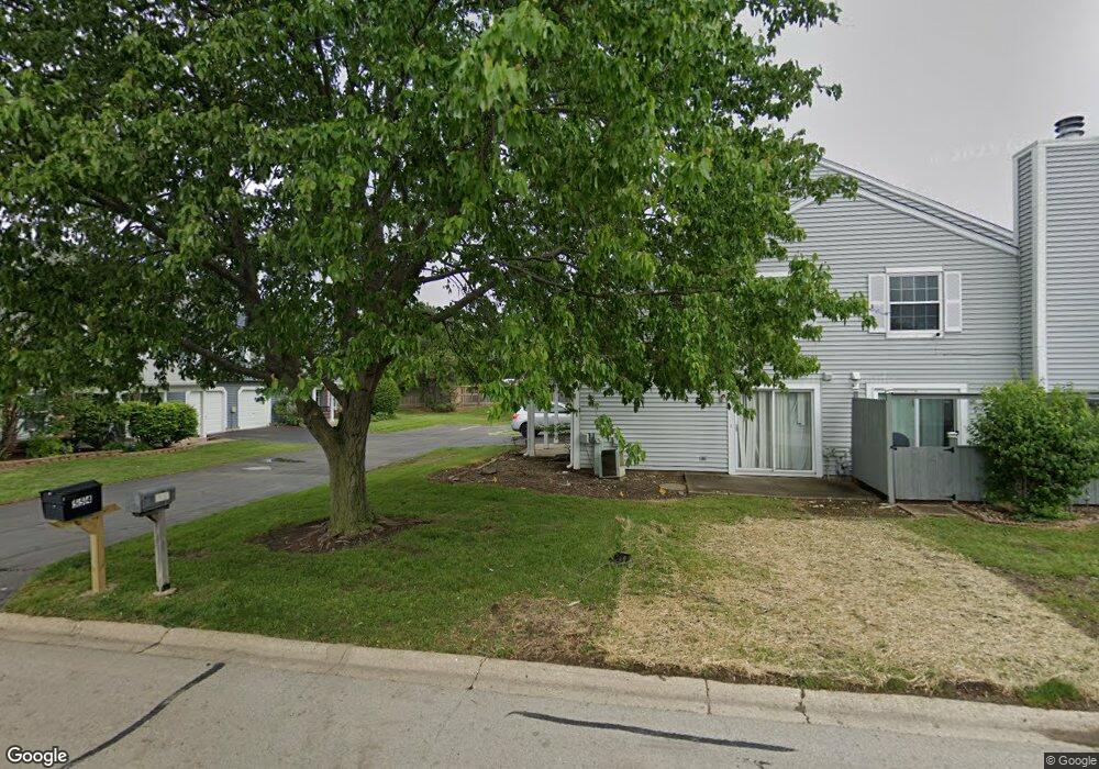
554 Pontiac Ln Unit 5 Bolingbrook, IL 60440
East Bolingbrook NeighborhoodEstimated Value: $205,000 - $231,629
2
Beds
1
Bath
540
Sq Ft
$404/Sq Ft
Est. Value
About This Home
This home is located at 554 Pontiac Ln Unit 5, Bolingbrook, IL 60440 and is currently estimated at $218,157, approximately $403 per square foot. 554 Pontiac Ln Unit 5 is a home located in Will County with nearby schools including Oak View Elementary School, Bolingbrook High School, and Midwest Christian Montessori Academy.
Ownership History
Date
Name
Owned For
Owner Type
Purchase Details
Closed on
Jun 23, 2004
Sold by
Guignard Alain F
Bought by
Johnston Robert A
Current Estimated Value
Home Financials for this Owner
Home Financials are based on the most recent Mortgage that was taken out on this home.
Original Mortgage
$126,000
Interest Rate
6.12%
Mortgage Type
Purchase Money Mortgage
Purchase Details
Closed on
Aug 29, 1994
Sold by
Rodgers Barbara S
Bought by
Guignard Alain F
Home Financials for this Owner
Home Financials are based on the most recent Mortgage that was taken out on this home.
Original Mortgage
$86,912
Interest Rate
8.44%
Mortgage Type
FHA
Create a Home Valuation Report for This Property
The Home Valuation Report is an in-depth analysis detailing your home's value as well as a comparison with similar homes in the area
Home Values in the Area
Average Home Value in this Area
Purchase History
| Date | Buyer | Sale Price | Title Company |
|---|---|---|---|
| Johnston Robert A | $126,000 | -- | |
| Guignard Alain F | $91,500 | -- |
Source: Public Records
Mortgage History
| Date | Status | Borrower | Loan Amount |
|---|---|---|---|
| Previous Owner | Johnston Robert A | $126,000 | |
| Previous Owner | Guignard Alain F | $86,912 |
Source: Public Records
Tax History Compared to Growth
Tax History
| Year | Tax Paid | Tax Assessment Tax Assessment Total Assessment is a certain percentage of the fair market value that is determined by local assessors to be the total taxable value of land and additions on the property. | Land | Improvement |
|---|---|---|---|---|
| 2024 | $6,012 | $73,094 | $8,587 | $64,507 |
| 2023 | $6,012 | $65,767 | $7,726 | $58,041 |
| 2022 | $5,268 | $59,292 | $6,965 | $52,327 |
| 2021 | $4,815 | $53,824 | $6,322 | $47,502 |
| 2020 | $4,573 | $50,538 | $5,936 | $44,602 |
| 2019 | $4,156 | $46,280 | $5,436 | $40,844 |
| 2018 | $3,550 | $40,181 | $4,720 | $35,461 |
| 2017 | $3,173 | $36,272 | $4,261 | $32,011 |
| 2016 | $2,921 | $33,200 | $3,900 | $29,300 |
| 2015 | $2,275 | $31,800 | $3,700 | $28,100 |
| 2014 | $2,275 | $26,500 | $3,100 | $23,400 |
| 2013 | $2,275 | $29,400 | $3,400 | $26,000 |
Source: Public Records
Map
Nearby Homes
- 257 Bryant Way
- 228 Elkhorn Ct Unit B
- 261 Bryant Way
- 224 Kedvale Ct
- VACANT W Boughton Rd
- 185 Brandon Ct Unit 2
- 565 Emerson Cir Unit 6
- 353 Foster Way Unit 2
- 534 Cottonwood Cir
- 557 Cottonwood Cir
- 11 Roanoke Ct
- 141 N Lancaster Dr
- 275 Clifton Ln
- 23 Wildwood Ln Unit G
- 230 Delaware Dr
- 206 Christine Way Unit 2
- 8 Wildwood Ln Unit G
- 121 S Lancaster Dr
- 728 Hawthorne Ct
- 164 Galewood Dr