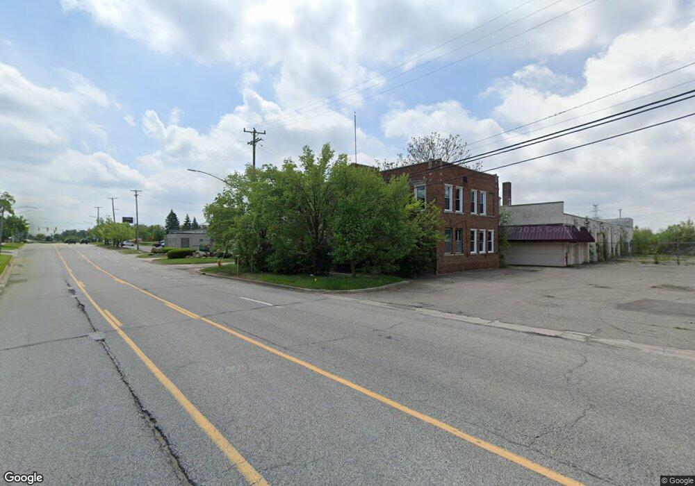
554 S Telegraph Rd Pontiac, MI 48341
--
Bed
--
Bath
4,058
Sq Ft
0.27
Acres
About This Home
This home is located at 554 S Telegraph Rd, Pontiac, MI 48341. 554 S Telegraph Rd is a home located in Oakland County with nearby schools including Walt Whitman Elementary School, Pontiac Middle School, and Pontiac High School.
Ownership History
Date
Name
Owned For
Owner Type
Purchase Details
Closed on
Oct 31, 2014
Sold by
Oakland County Treasurer
Bought by
Woodward Clifford Building Inc
Purchase Details
Closed on
Feb 2, 2005
Sold by
First National Acceptance Co
Bought by
Weiss Daniel
Purchase Details
Closed on
Nov 1, 2004
Sold by
Weiss Daniel and Weiss Nicole C
Bought by
The Shire Group Llc
Purchase Details
Closed on
Apr 18, 2002
Sold by
Ferguson Robin
Bought by
First Natinoal Acceptance Co
Purchase Details
Closed on
May 8, 2001
Sold by
Muzzarelli Laurence
Bought by
Muzzarelli Robin
Purchase Details
Closed on
Aug 24, 1987
Sold by
Ring Milton H
Bought by
Muzzareli Laurence
Create a Home Valuation Report for This Property
The Home Valuation Report is an in-depth analysis detailing your home's value as well as a comparison with similar homes in the area
Home Values in the Area
Average Home Value in this Area
Purchase History
| Date | Buyer | Sale Price | Title Company |
|---|---|---|---|
| Woodward Clifford Building Inc | $200,000 | None Available | |
| Weiss Daniel | $200,000 | -- | |
| The Shire Group Llc | -- | Metropolitan Title Company | |
| First Natinoal Acceptance Co | -- | -- | |
| Muzzarelli Robin | -- | -- | |
| Muzzareli Laurence | -- | -- |
Source: Public Records
Tax History Compared to Growth
Tax History
| Year | Tax Paid | Tax Assessment Tax Assessment Total Assessment is a certain percentage of the fair market value that is determined by local assessors to be the total taxable value of land and additions on the property. | Land | Improvement |
|---|---|---|---|---|
| 2024 | $5,972 | $118,390 | $0 | $0 |
| 2023 | $5,692 | $113,420 | $0 | $0 |
| 2022 | $6,418 | $108,270 | $0 | $0 |
| 2021 | $5,914 | $104,380 | $0 | $0 |
| 2020 | $5,171 | $98,340 | $0 | $0 |
| 2019 | $5,241 | $97,360 | $0 | $0 |
| 2017 | $4,903 | $90,390 | $0 | $0 |
| 2015 | -- | $87,370 | $0 | $0 |
| 2014 | -- | $85,550 | $0 | $0 |
| 2011 | -- | $103,810 | $0 | $0 |
Source: Public Records
Map
Nearby Homes
- 49 Canal Dr Unit 300-049
- 21 Canal Dr Unit 300-021
- 25 Riverbank Dr Unit 300-125
- 27 Riverbank Dr Unit 300-127
- 14 Riverbank Dr Unit 300-114
- 26 Edna Ave
- 1075 Canterbury Dr
- 1160 Dorchester Ave
- 1061 Dorchester Ave
- 1205 Leinbach Ave
- 1785 Ward Rd
- 8 Myra Ave
- 901 Argyle Ave
- 0000 Ward Road Ward Rd
- 207 Navajo Ave
- 10 Wenonah Dr
- 181 Navajo Ave
- 243 Cherokee Rd
- 1675 Dell Rose Dr
- 990 Voorheis Rd
- 1138 Orchard Lake Rd
- 1359 Avondale St
- 1349 Avondale St
- 1369 Avondale St
- 1379 Avondale St
- 1331 Avondale St
- 1385 Avondale St
- 47 Canal Dr Unit 300-047
- 1135 Dover Rd
- 1315 Avondale St
- 939 Orchard Lake Rd
- 1407 Avondale St
- 935 Orchard Lake Rd
- 1409 Avondale St
- 1301 Avondale St
- 2035 Garland St
- 1415 Avondale St
- 000 Canal Dr
- 0 Canal Dr
- 1131 Dover Rd