554 Sioux Dr Macon, GA 31210
Estimated Value: $269,000 - $307,000
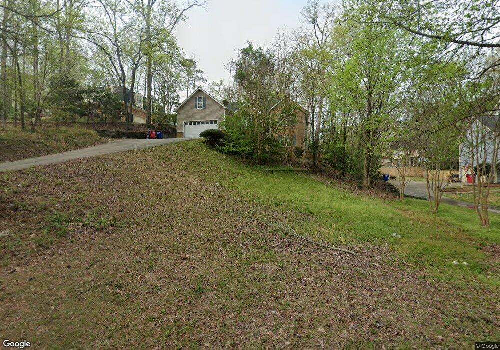
About This Home
This home is located at 554 Sioux Dr, Macon, GA 31210 and is currently estimated at $282,427, approximately $153 per square foot. 554 Sioux Dr is a home located in Bibb County with nearby schools including Lane Elementary School, Howard Middle School, and Howard High School.
Ownership History
We collect this data history from publicly available records. To have your information removed, we recommend requesting removal directly through your county’s website.
Purchase Details
Purchase Details
Home Financials for this Owner
Home Financials are based on the most recent Mortgage that was taken out on this home.Purchase Details
Purchase History
We collect this data history from publicly available records. To have your information removed, we recommend requesting removal directly through your county’s website.
| Date | Buyer | Sale Price | Title Company |
|---|---|---|---|
| -- | None Listed On Document | ||
| -- | None Available | ||
| $10,000 | -- |
Mortgage History
We collect this data history from publicly available records. To have your information removed, we recommend requesting removal directly through your county’s website.
| Date | Status | Borrower | Loan Amount |
|---|---|---|---|
| Previous Owner | $138,000 |
Tax History
We collect this data history from publicly available records. To have your information removed, we recommend requesting removal directly through your county’s website.
| Year | Tax Paid | Tax Assessment Tax Assessment Total Assessment is a certain percentage of the fair market value that is determined by local assessors to be the total taxable value of land and additions on the property. | Land | Improvement |
|---|---|---|---|---|
| 2025 | $2,509 | $102,088 | $30,000 | $72,088 |
| 2024 | $2,593 | $102,088 | $30,000 | $72,088 |
| 2023 | $2,593 | $102,088 | $30,000 | $72,088 |
| 2022 | $1,333 | $77,025 | $8,804 | $68,221 |
| 2021 | $2,428 | $63,906 | $8,804 | $55,102 |
| 2020 | $2,481 | $63,906 | $8,804 | $55,102 |
| 2019 | $2,665 | $63,906 | $8,804 | $55,102 |
| 2018 | $4,546 | $72,834 | $8,804 | $64,030 |
| 2017 | $2,476 | $66,094 | $8,804 | $57,290 |
| 2016 | $2,287 | $66,094 | $8,804 | $57,290 |
| 2015 | $3,237 | $66,094 | $8,804 | $57,290 |
| 2014 | $3,722 | $66,094 | $8,804 | $57,290 |
Map
- 532 Sioux Dr
- 527 Commanche Dr
- 556 Commanche Place
- 602 Commanche Dr
- 137 Brookstone Way
- 206 Huntington Ct
- 208 Huntington Ct
- 177 Brookstone Way
- 110 Arbor Climb
- 636 Lokchapee Ridge
- 4740 Wesleyan Woods Dr
- 4648 Lattimore Dr
- 843 Green Oak Terrace
- 914 Glenbrook Rd
- 4648 Timberlane Dr
- 912 Lundy Terrace
- 4620 S Stratford Oaks Dr
- 681 Forest Lake Dr N
- 570 Sioux Dr
- 585 Commanche Dr
- 571 Commanche Dr
- 559 Commanche Dr
- 601 Commanche Dr
- 547 Commanche Dr
- 596 Commanche Dr
- 584 Commanche Dr
- 605 Commanche Dr
- 523 Sioux Dr
- 570 Commanche Dr
- 600 Commanche Dr
- 490 Lokchapee Dr
- 474 Lokchapee Dr
- 460 Lokchapee Dr
- 558 Commanche Dr
- 621 Sioux Dr
- 609 Commanche Dr
- 640 Sioux Dr
- 548 Commanche Dr
Ask me questions while you tour the home.