554 Trinity Ct Unit 554 Bensalem, PA 19020
Estimated Value: $316,000 - $365,000
2
Beds
3
Baths
1,432
Sq Ft
$243/Sq Ft
Est. Value
About This Home
This home is located at 554 Trinity Ct Unit 554, Bensalem, PA 19020 and is currently estimated at $347,574, approximately $242 per square foot. 554 Trinity Ct Unit 554 is a home located in Bucks County with nearby schools including School Lane Charter School, St. Ephrem School, and Holy Ghost Preparatory School.
Ownership History
Date
Name
Owned For
Owner Type
Purchase Details
Closed on
Nov 12, 1994
Sold by
Benatti Richard W and Benatti Donna L
Bought by
Benatti Richard W and Benatti Donna L
Current Estimated Value
Purchase Details
Closed on
May 26, 1994
Sold by
Chirgott Paul S
Bought by
Benatti Richard W and Benatti Donna L
Create a Home Valuation Report for This Property
The Home Valuation Report is an in-depth analysis detailing your home's value as well as a comparison with similar homes in the area
Home Values in the Area
Average Home Value in this Area
Purchase History
| Date | Buyer | Sale Price | Title Company |
|---|---|---|---|
| Benatti Richard W | -- | -- | |
| Benatti Richard W | $109,000 | -- |
Source: Public Records
Tax History Compared to Growth
Tax History
| Year | Tax Paid | Tax Assessment Tax Assessment Total Assessment is a certain percentage of the fair market value that is determined by local assessors to be the total taxable value of land and additions on the property. | Land | Improvement |
|---|---|---|---|---|
| 2025 | $4,104 | $18,800 | -- | $18,800 |
| 2024 | $4,104 | $18,800 | $0 | $18,800 |
| 2023 | $3,988 | $18,800 | $0 | $18,800 |
| 2022 | $3,965 | $18,800 | $0 | $18,800 |
| 2021 | $3,965 | $18,800 | $0 | $18,800 |
| 2020 | $3,925 | $18,800 | $0 | $18,800 |
| 2019 | $3,838 | $18,800 | $0 | $18,800 |
| 2018 | $3,749 | $18,800 | $0 | $18,800 |
| 2017 | $3,725 | $18,800 | $0 | $18,800 |
| 2016 | $3,725 | $18,800 | $0 | $18,800 |
| 2015 | -- | $18,800 | $0 | $18,800 |
| 2014 | -- | $18,800 | $0 | $18,800 |
Source: Public Records
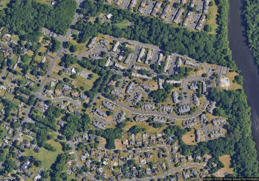
Map
Nearby Homes
- 393 Rutgers Ct Unit 393
- 580 S Mount Vernon Cir
- 446 N Mount Vernon Cir Unit 446
- 419 Rutgers Ct
- 389 Rutgers Ct Unit 389
- 435 N Mount Vernon Cir Unit 435
- 5107 Leeward Rd
- 5102 Lighthouse Ln
- 5110 Bay Rd
- 801 Cliff Rd
- 1100 Wayland Ave
- 938 Ashton Rd
- 5217 Bay Rd
- 953 Farley Rd
- 4783 Meeting Rd
- 4744 Dunston Rd
- L:15 Dunston Rd
- 3300 Newportville Rd
- 1440 Atterbury Way
- 0 Newportville Rd Unit PABU487252
- 555 Trinity Ct Unit 555
- 553 Trinity Ct
- 556 Trinity Ct
- 557 Trinity Ct Unit 557
- 558 Trinity Ct Unit 558
- 528 Amhurst Square Unit 528
- 527 Amhurst Square Unit 527
- 569 Trinity Ct Unit 569
- 526 Amhurst Square
- 570 Trinity Ct
- 568 Trinity Ct Unit 568
- 567 Trinity Ct
- 525 Amhurst Square Unit 525
- 566 Trinity Ct
- 559 Trinity Ct
- 524 Amhurst Square Unit 524
- 565 Trinity Ct Unit 565
- 400 Rutgers Ct
- 401 Rutgers Ct
- 523 Amhurst Square Unit 523