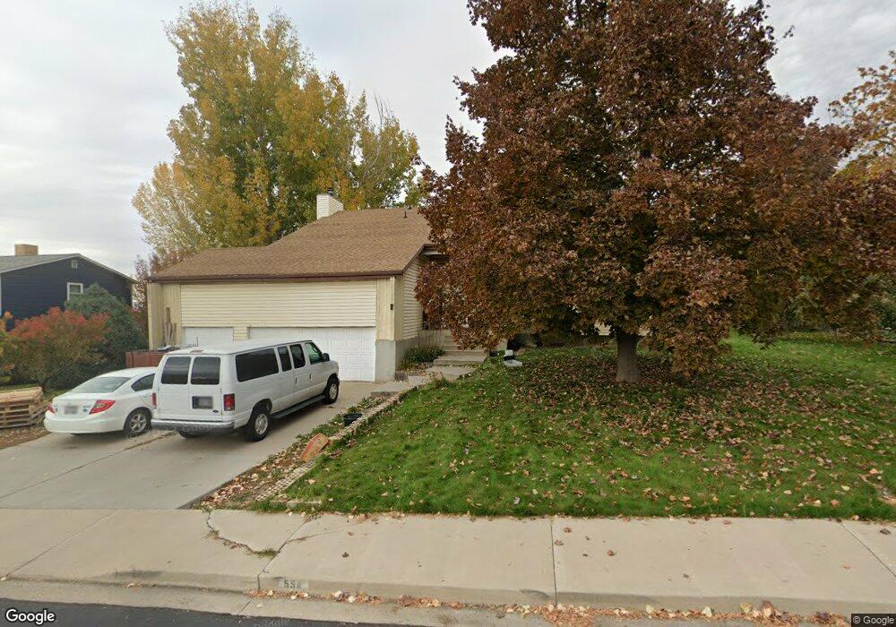
554 W 40 S Lindon, UT 84042
Estimated Value: $757,000 - $1,112,000
6
Beds
4
Baths
3,802
Sq Ft
$226/Sq Ft
Est. Value
About This Home
This home is located at 554 W 40 S, Lindon, UT 84042 and is currently estimated at $859,584, approximately $226 per square foot. 554 W 40 S is a home located in Utah County with nearby schools including Aspen Elementary School, Oak Canyon Junior High School, and Pleasant Grove High School.
Ownership History
Date
Name
Owned For
Owner Type
Purchase Details
Closed on
Nov 3, 2008
Sold by
Whetten Clarence and Whetten Leeann J
Bought by
Whetten Clarence and Whetten Leeann J
Current Estimated Value
Purchase Details
Closed on
May 24, 2002
Sold by
Miller William A
Bought by
Whetten Clarence and Whetten Leeann
Purchase Details
Closed on
Feb 20, 2002
Sold by
Foote Richard T and Foote Tammie M
Bought by
Miller William A
Create a Home Valuation Report for This Property
The Home Valuation Report is an in-depth analysis detailing your home's value as well as a comparison with similar homes in the area
Home Values in the Area
Average Home Value in this Area
Purchase History
| Date | Buyer | Sale Price | Title Company |
|---|---|---|---|
| Whetten Clarence | -- | None Available | |
| Whetten Clarence | -- | Meridian Title | |
| Miller William A | $145,889 | -- |
Source: Public Records
Tax History Compared to Growth
Tax History
| Year | Tax Paid | Tax Assessment Tax Assessment Total Assessment is a certain percentage of the fair market value that is determined by local assessors to be the total taxable value of land and additions on the property. | Land | Improvement |
|---|---|---|---|---|
| 2025 | $2,558 | $346,995 | $231,000 | $399,900 |
| 2024 | $2,558 | $315,315 | $0 | $0 |
| 2023 | $2,395 | $317,075 | $0 | $0 |
| 2022 | $2,304 | $294,745 | $0 | $0 |
| 2021 | $2,119 | $408,600 | $150,200 | $258,400 |
| 2020 | $1,970 | $374,000 | $139,100 | $234,900 |
| 2019 | $1,693 | $335,300 | $130,700 | $204,600 |
| 2018 | $1,710 | $319,400 | $122,200 | $197,200 |
| 2017 | $1,567 | $156,915 | $0 | $0 |
| 2016 | $1,694 | $156,915 | $0 | $0 |
| 2015 | $1,638 | $143,385 | $0 | $0 |
| 2014 | -- | $120,065 | $0 | $0 |
Source: Public Records
Map
Nearby Homes